Summary
This segment is rated Class IV-V and requires advanced whitewater paddling skills due to its steep gradient and challenging rapids. The ideal streamflow range for this segment is between 400-800 cubic feet per second (cfs) to provide enough water volume to navigate the rapids safely.
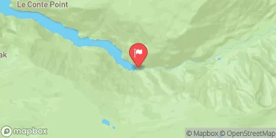
The segment begins in the Headwaters of the Whitewater River and ends at the Hoover Wilderness Boundary. Along the way, paddlers encounter several challenging rapids and obstacles, including the "Squeeze Play" and "Pinball," which require precise maneuvering to avoid hazards such as rocks, logs, and steep drops.
Access to this segment is limited and requires a permit from the Inyo National Forest. Additionally, paddlers are required to follow the "Leave No Trace" principles and pack out all garbage. This segment is not recommended for inexperienced paddlers or those unfamiliar with the area.
°F
°F
mph
Wind
%
Humidity
15-Day Weather Outlook
River Run Details
| Last Updated | 2026-02-07 |
| River Levels | 385 cfs (3.67 ft) |
| Percent of Normal | 138% |
| Status | |
| Class Level | iv-v |
| Elevation | ft |
| Streamflow Discharge | cfs |
| Gauge Height | ft |
| Reporting Streamgage | USGS 10290500 |


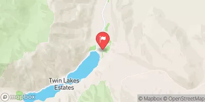
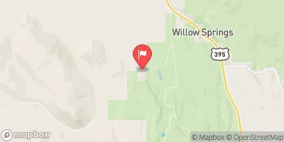
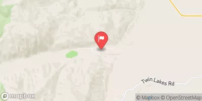
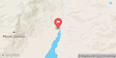
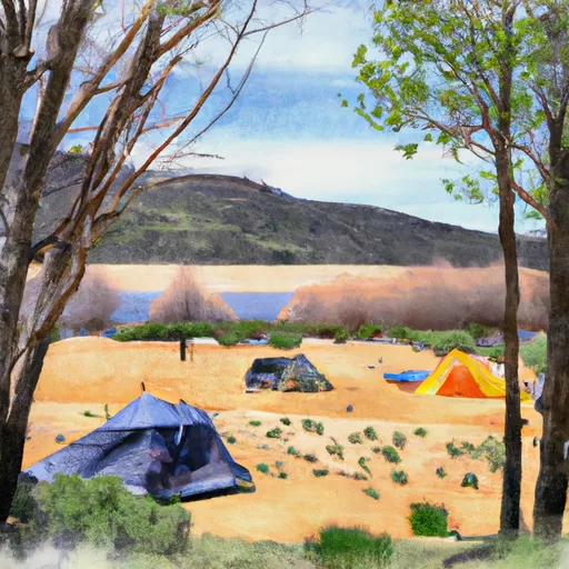 Trumbull Lake Campground
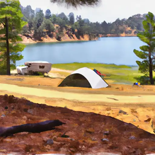 Trumbull Lake
 Upper Virginia Creek Primitive Campground
 Lower Virginia Creek Primitive Campground
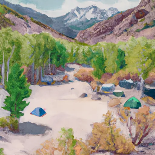 Lundy Canyon Campground
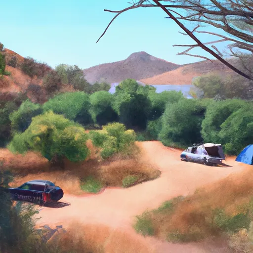 Green Creek Campground
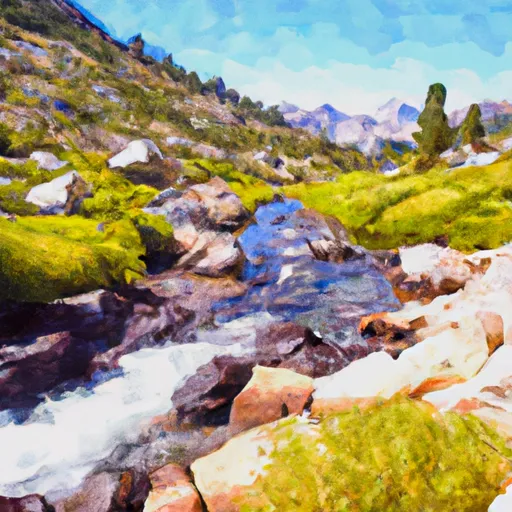 Headwaters To Hoover Wilderness Boundary
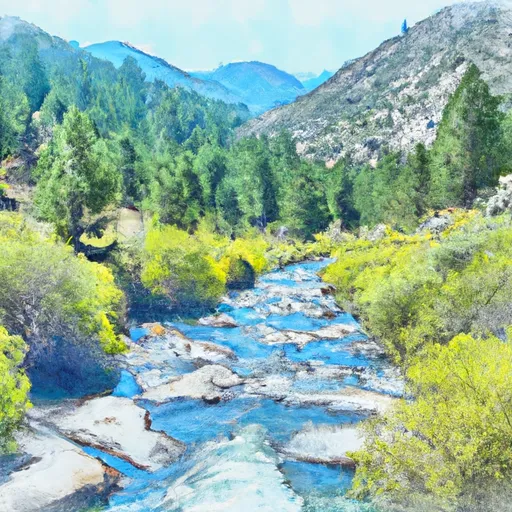 Headwaters, Includes East Fork And West Fork To Hoover Wilderness Boundary
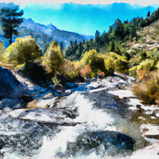 Headwaters To Wilderness Boundary
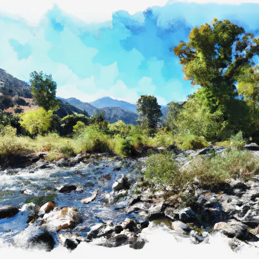 Wilderness Boundary To Private Property
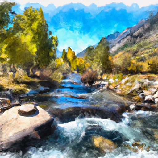 Private Property To Lundy Lake
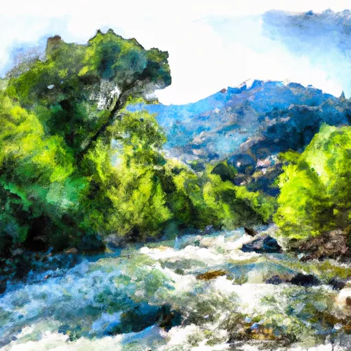 Wilderness Boundary To Confluence With Mill Creek
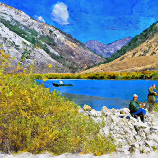 Lundy Lake
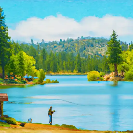 Alpine Lake
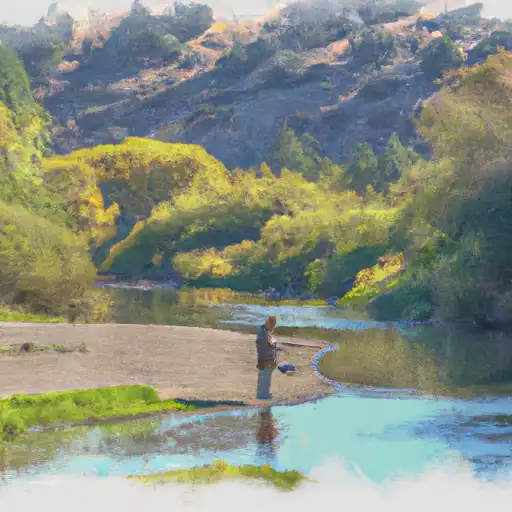 Green Creek
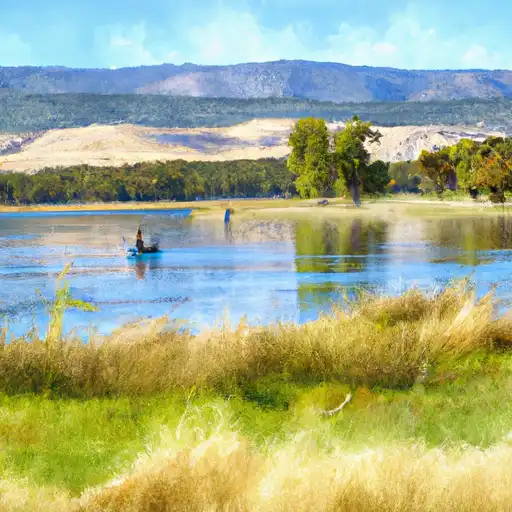 Finger Lake
 Avalanche Lake