2026-02-20T07:00:00-08:00
* WHAT...Heavy snow possible. Total snow accumulations of up to 4 inches between 3500 and 4500 feet, 6 to 12 inches for 4500 to 6000 feet, and 1 to 2 feet above 6000 feet. Wind gusts of up to 60 to 70 mph possible this afternoon through late tonight, and again late Wednesday night into Thursday morning. * WHERE...Eastern San Gabriel Mountains and Northern Ventura County Mountains. * WHEN...Until 7 AM PST Friday. * IMPACTS...Roads, especially bridges and overpasses, will likely become slick and hazardous. Travel could become treacherous. Visibilities may drop below one-quarter mile due to falling and blowing snow. Damaging winds could blow down trees and power lines.
Mainstream - Confluence With South Fork Little Rock Creek To Little Rock Creek Reservoir Paddle Report
Last Updated: 2026-02-07
The Whitewater River Run Mainstream from the Confluence with South Fork Little Rock Creek to Little Rock Creek Reservoir in California is a popular destination for whitewater enthusiasts.
Summary
The ideal streamflow range for this segment is between 300-800 cfs, and the class rating for this section is a mix of Class III-IV rapids. The segment mileage is approximately 6.5 miles and takes about 3-4 hours to complete.
Some of the notable rapids and obstacles on this run include Leap of Faith, Roller Coaster, and S-turn. These rapids can prove challenging, with narrow chutes, steep drops, and strong currents. Therefore, this run is recommended for experienced paddlers only.
Specific regulations to the area include a Forest Service permit, which is required for all visitors entering the San Bernardino National Forest. Additionally, all boaters must wear a personal flotation device (PFD) at all times on the river and respect the "pack it in, pack it out" policy to help preserve the natural beauty of the area.
°F
°F
mph
Wind
%
Humidity
15-Day Weather Outlook
River Run Details
| Last Updated | 2026-02-07 |
| River Levels | 54 cfs (1.85 ft) |
| Percent of Normal | 210% |
| Status | |
| Class Level | iii-iv |
| Elevation | ft |
| Streamflow Discharge | cfs |
| Gauge Height | ft |
| Reporting Streamgage | USGS 10263500 |
5-Day Hourly Forecast Detail
Nearby Streamflow Levels
Area Campgrounds
| Location | Reservations | Toilets |
|---|---|---|
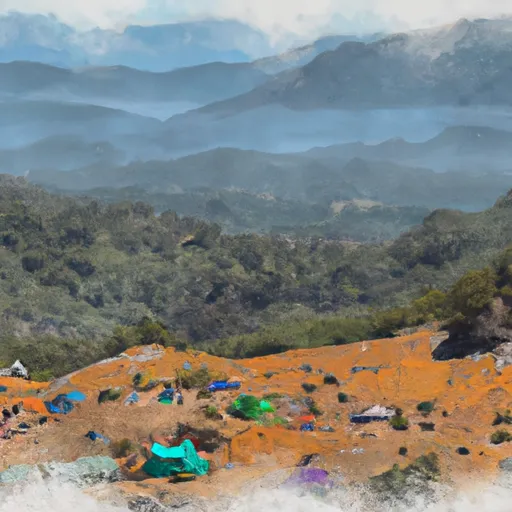 Pacifico Mountain Camp
|
||
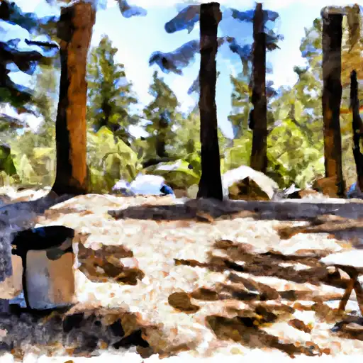 Mt. Pacifico
|
||
 Mt. Pacifico Campground
|
||
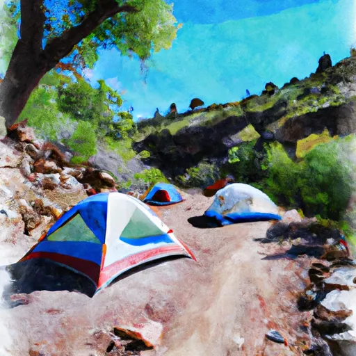 Cooper Canyon Trail Camp
|
||
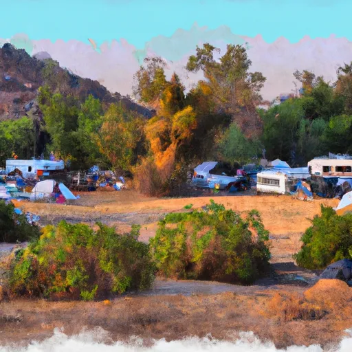 Bandido Group Campground
|
||
 Horse Flats
|
River Runs
-
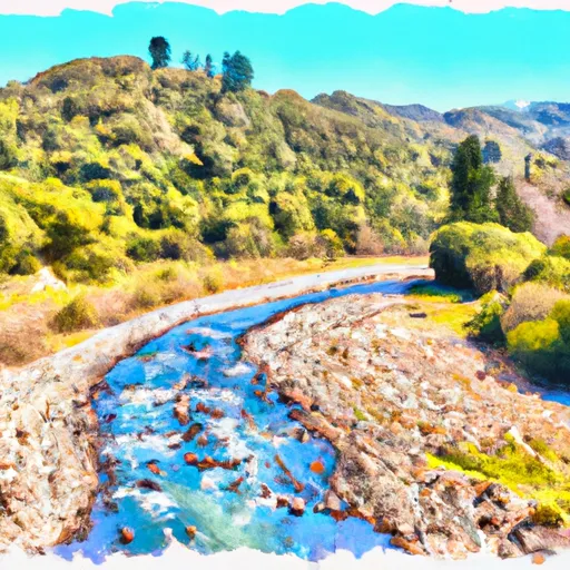 Mainstream - Confluence With South Fork Little Rock Creek To Little Rock Creek Reservoir
-
 Cooper Canyon- Near State Highway 2 (Sw 1/4, Ne 1/4, Sec 16, T3N, R10W To Confluence With Little Rock Creek
-
 Mainstream - Confluence With Cooper Canyon To Confluence Wit South Fork Little Rock Creek
-
 Mainstream - Headwaters To Confluence With Cooper Canyon
-
 North Fork - Confluence Of Soldier And Coldbrook Creeks (Se1/4,Sw1/4, Sec) 5, T2N,,R9W To Conflluence With West Fork Of San Gabriel (Sw 1/4,Sw1/4, Sec 17, T2N, R8W)
-
 Gaging Station Below Spillway Of Cogswell Dam (Ne 1/4, Se 1/4, Sec 19, T2N, R10W) To Confluence With Nf San Gabriel River (Sw 1/4.Sw 1/4, Sec 15, T2N, R9W)




 Pearblossom Park
 Devils Punchbowl Park
 Everett Martin Park
 Avenue T Park
 Joshua Hills Park