2026-02-11T13:00:00-08:00
* WHAT...South winds 20 to 30 mph with gusts up to 50 mph. * WHERE...Eastern Antelope Valley Foothills, Eastern San Gabriel Mountains, and Western San Gabriel Mountains and Highway 14 Corridor. * WHEN...Until 1 PM PST this afternoon. * IMPACTS...Gusty winds will blow around unsecured objects. Tree limbs could be blown down and a few power outages may result.
Summary
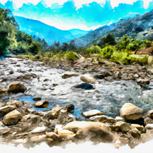
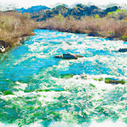
The ideal streamflow range for the Mainstream - Headwaters to Confluence with Cooper Canyon segment is between 200 and 400 cubic feet per second (cfs), which typically occurs during the spring months.
The class rating for this segment is considered to be Class III, with some Class IV rapids. The segment mileage is approximately 8.5 miles, and the river features several notable rapids and obstacles, including "The Chute," "S-turn," and "Rock Garden."
It is important to note that the Whitewater River is located on public land managed by the Bureau of Land Management, and therefore visitors must follow regulations and obtain the necessary permits. Additionally, the river is subject to seasonal closures due to fire danger and other safety concerns.
°F
°F
mph
Wind
%
Humidity
15-Day Weather Outlook
River Run Details
| Last Updated | 2026-02-07 |
| River Levels | 54 cfs (1.85 ft) |
| Percent of Normal | 210% |
| Status | |
| Class Level | iii-iv |
| Elevation | ft |
| Streamflow Discharge | cfs |
| Gauge Height | ft |
| Reporting Streamgage | USGS 10263500 |
5-Day Hourly Forecast Detail
Nearby Streamflow Levels
Area Campgrounds
| Location | Reservations | Toilets |
|---|---|---|
 Little Jimmy Campground
|
||
 Little Jimmy
|
||
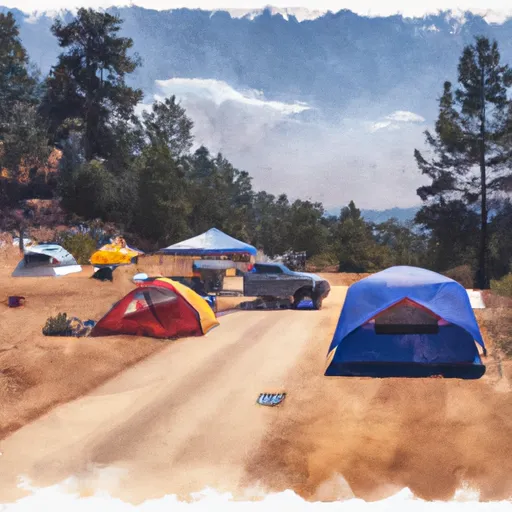 Deer Flat Group Campground
|
||
 Deer Spring
|
||
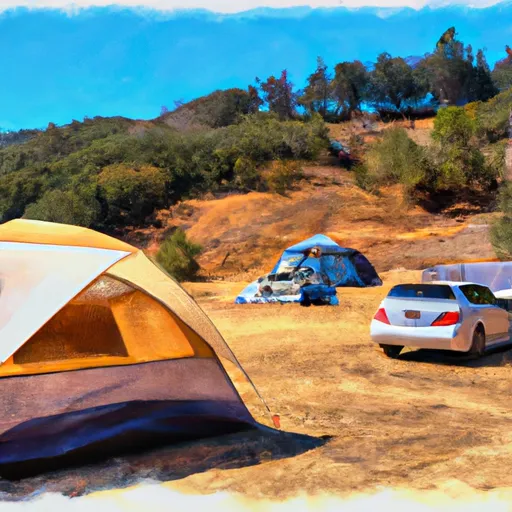 Southfork
|
||
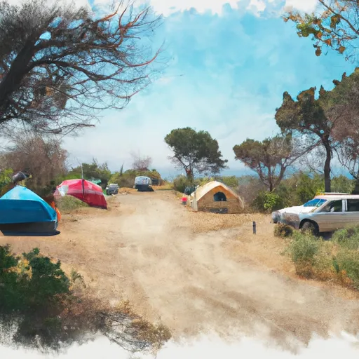 Southfork Campground
|
River Runs
-
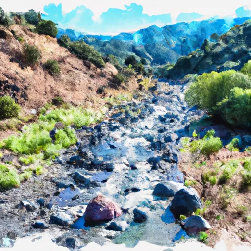 Mainstream - Headwaters To Confluence With Cooper Canyon
-
 Mainstream - Confluence With Cooper Canyon To Confluence Wit South Fork Little Rock Creek
-
 Cooper Canyon- Near State Highway 2 (Sw 1/4, Ne 1/4, Sec 16, T3N, R10W To Confluence With Little Rock Creek
-
 North Fork - Confluence Of Soldier And Coldbrook Creeks (Se1/4,Sw1/4, Sec) 5, T2N,,R9W To Conflluence With West Fork Of San Gabriel (Sw 1/4,Sw1/4, Sec 17, T2N, R8W)
-
 Mainstream - Confluence With South Fork Little Rock Creek To Little Rock Creek Reservoir
-
 East Fork - Confluence Of Vincent Gulch And Prairie Fork (Nw 1/4, Sw 1/4 Sec 16 ) To Laurel Gulch (Nw 1/4, Sw 1/4, Sec 17, T2N, R8W)






 Wilderness Pleasant View Ridge
 Pearblossom Park
 Wilderness San Gabriel