Summary
The ideal streamflow range for this run is between 150 and 500 cfs. The class rating for this stretch of river varies between Class III and Class V, with rapids such as Pinball, Inception, and The Gauntlet providing challenging obstacles for boaters. The total segment mileage for the Whitewater River Headwaters is approximately 17 miles.
The specific regulations for this area include a permit system for overnight camping in the Hoover Wilderness boundary, which requires a reservation and a fee. The use of drones is prohibited in the area, and fires are only allowed in established fire rings. Additionally, visitors are encouraged to practice Leave No Trace principles and pack out all trash.
°F
°F
mph
Wind
%
Humidity
15-Day Weather Outlook
River Run Details
| Last Updated | 2026-02-07 |
| River Levels | 385 cfs (3.67 ft) |
| Percent of Normal | 138% |
| Status | |
| Class Level | iii-v |
| Elevation | ft |
| Streamflow Discharge | cfs |
| Gauge Height | ft |
| Reporting Streamgage | USGS 10290500 |


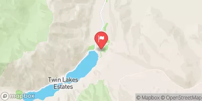
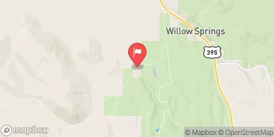
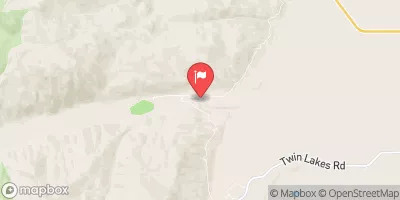
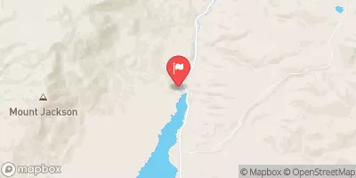
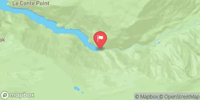
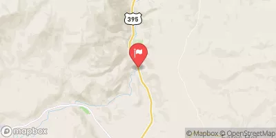
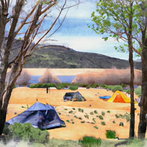 Trumbull Lake Campground
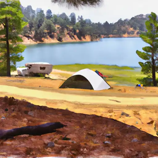 Trumbull Lake
 Upper Virginia Creek Primitive Campground
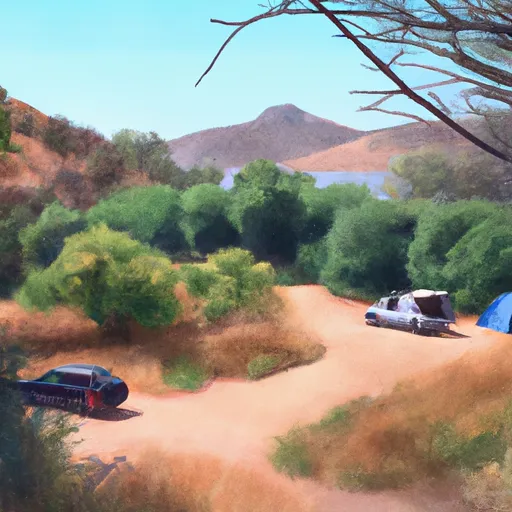 Green Creek Campground
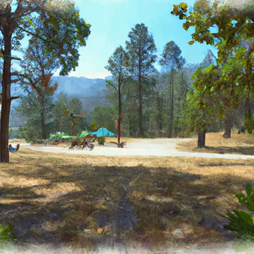 Green Creek
 Lower Virginia Creek Primitive Campground
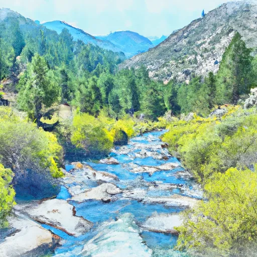 Headwaters, Includes East Fork And West Fork To Hoover Wilderness Boundary
 Headwaters To Hoover Wilderness Boundary
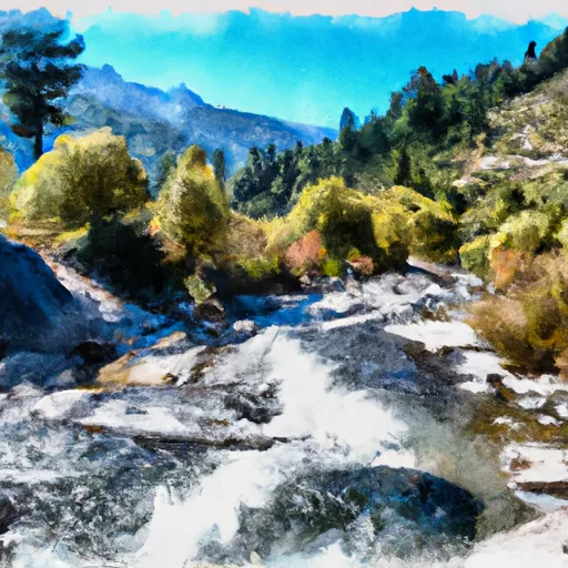 Headwaters To Wilderness Boundary
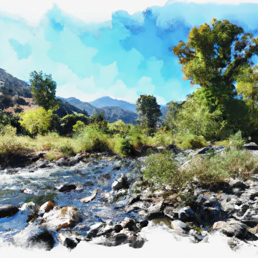 Wilderness Boundary To Private Property
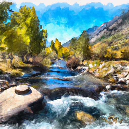 Private Property To Lundy Lake
 Hoover Wilderness Boundary To Humboldt-Toiyabe National Forest Boundary
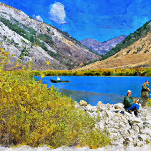 Lundy Lake
 Alpine Lake
 Green Creek
 Avalanche Lake
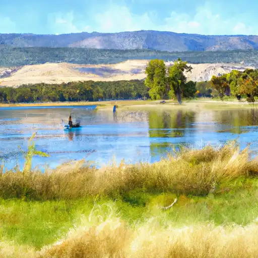 Finger Lake