2026-02-19T22:00:00-08:00
* WHAT...Snow. Snow accumulations of 6 to 12 inches in the Tahoe Basin, with 12 to 18 inches above 7000 feet. Ridge top winds gusting as high as 45 mph. * WHERE...Greater Lake Tahoe Area. * WHEN...Until 10 PM PST this evening. * IMPACTS...Roads, and especially bridges and overpasses, have become slick and hazardous. Travel could be very difficult with long delays and possible closures. The hazardous conditions will impact the morning and evening commutes, with icy patches continuing overnight even after the snow ends. * ADDITIONAL DETAILS...Blowing snow may produce poor visibility and near whiteout conditions at times especially in higher elevations.
Summary
The ideal streamflow range for this run is between 200-500 cfs. The class rating of this section of the river is Class IV-V, which means that it has turbulent and unpredictable rapids, steep drops, and obstacles that require precise maneuvering.
The segment mileage of this run is approximately 4.5 miles, starting at the headwaters and ending at the trailhead. Some of the specific river rapids and obstacles on this run include "S-turn," "Meatgrinder," and "Carnage Canyon," which are all Class V rapids that require advanced paddling skills and precise navigation.
There are also specific regulations to the area that kayakers and rafters should be aware of. For example, the area is located within the San Bernardino National Forest, so visitors must comply with all of the regulations set by the Forest Service. Additionally, the use of personal flotation devices (PFDs) is mandatory, and visitors should also be aware of any potential fire restrictions in the area.
Overall, the Whitewater River Run Headwaters To Trailhead is a challenging and exhilarating river segment that requires advanced paddling skills and experience. Visitors should always exercise caution and follow all regulations to ensure their safety and preserve the natural beauty of the area.
°F
°F
mph
Wind
%
Humidity
15-Day Weather Outlook
River Run Details
| Last Updated | 2026-02-07 |
| River Levels | 1960 cfs (8.4 ft) |
| Percent of Normal | 126% |
| Status | |
| Class Level | iv-v |
| Elevation | ft |
| Streamflow Discharge | cfs |
| Gauge Height | ft |
| Reporting Streamgage | USGS 10344505 |
5-Day Hourly Forecast Detail
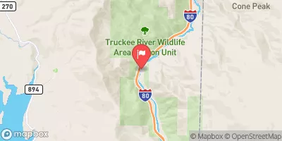
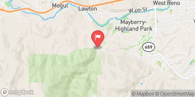
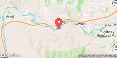
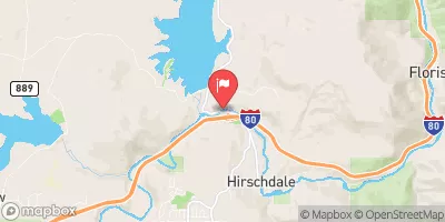
Nearby Streamflow Levels
Area Campgrounds
| Location | Reservations | Toilets |
|---|---|---|
 Mount Rose
|
||
 Mt. Rose Campground
|
||
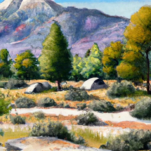 Davis Creek
|
||
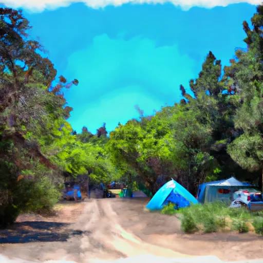 Boca Springs Campground
|
||
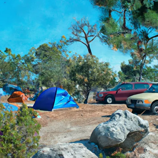 Boca Springs
|
||
 Boca Rest
|


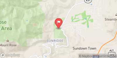
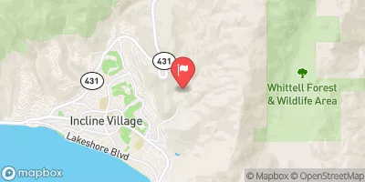
 Lakeshore Boulevard , 89452 Nevada
 Headwaters To Trailhead
 Callahan Creek Park
 Arrow Creek Park
 Saddlehorn Park
 Caughlin Village Park
 Thomas Creek Park