Summary
Mission Creek is a popular whitewater river run located in California, running through San Bernardino National Forest. The ideal streamflow range for this run is between 200-500 cfs. The river is rated Class III-IV, making it a challenging run for intermediate to advanced paddlers. The segment mileage of the river run is approximately 6.5 miles.
There are several notable rapids and obstacles along the river, including "Avalanche," "Pinball," "The Wall," "The Plunge," and "The Potholes." These rapids offer a mix of technical maneuvers and high-speed runs, making it an exciting and challenging experience for paddlers.
There are specific regulations in place for the Mission Creek area, including a strict no camping policy, no fires allowed, and a permit requirement for shuttle services. Additionally, paddlers are advised to exercise caution and be aware of potential hazards such as downed trees and strainers.
°F
°F
mph
Wind
%
Humidity
15-Day Weather Outlook
River Run Details
| Last Updated | 2023-08-20 |
| River Levels | 6 cfs (10.22 ft) |
| Percent of Normal | 47% |
| Status | |
| Class Level | iii-iv |
| Elevation | ft |
| Streamflow Discharge | cfs |
| Gauge Height | ft |
| Reporting Streamgage | USGS 10257600 |
5-Day Hourly Forecast Detail
Nearby Streamflow Levels
Area Campgrounds
| Location | Reservations | Toilets |
|---|---|---|
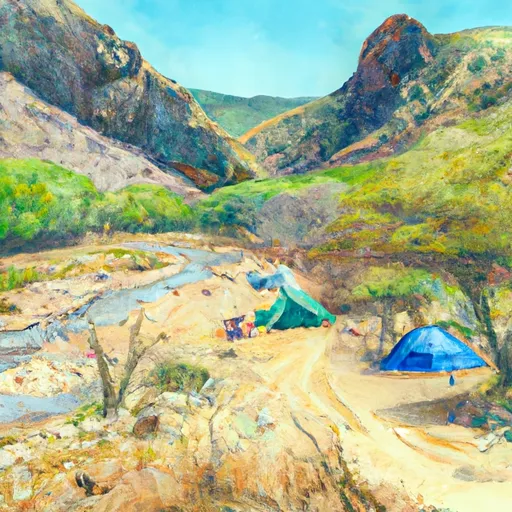 Whitewater Preserve
|
||
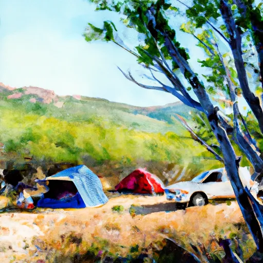 Mission Creek Preserve
|
||
 Coon Creek Cabin Group Campground
|
||
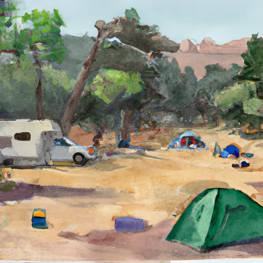 Mission Springs
|
||
 Big Tree
|
||
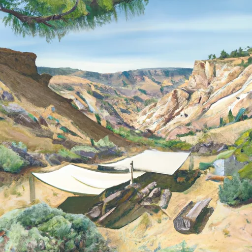 Mineshaft Flat
|


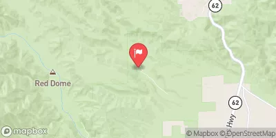
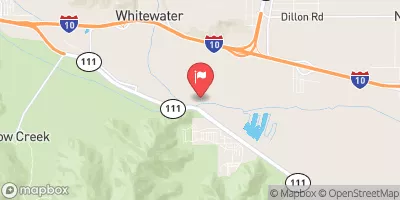
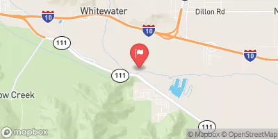
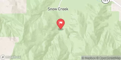
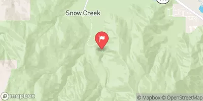
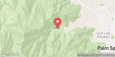
 Mission Creek
 West Fork Mission Creek
 Wilderness San Gorgonio
 Wardman Park
 Peoples Park
 Wilderness Bighorn Mountain
 Hot Springs Park