Summary
The ideal streamflow range for this river is between 200 and 400 cfs, with higher flows being more challenging and dangerous. The river is rated as a Class III to IV, meaning it has moderate to difficult rapids and requires experience and skill to navigate.
The segment mileage of the South Fork Battle Creek is approximately 9 miles, running from Ponderosa Way Bridge to Oak Run Creek. This section of the river features several challenging rapids and obstacles, including "Devil's Toilet Bowl," "Hell Hole," and "Bone Crusher." These rapids require precise navigation and careful planning to avoid potential hazards.
There are specific regulations that apply to this area, including the use of personal flotation devices (PFDs) for all boaters and the prohibition of alcohol or drugs while on the river. Additionally, all boaters must have a valid California Boater Card and follow all posted signs and regulations.
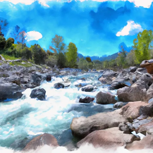
Overall, the South Fork Battle Creek is a popular and challenging whitewater river run for experienced boaters. It offers a unique and exciting adventure in the beautiful northern California wilderness.
°F
°F
mph
Wind
%
Humidity
15-Day Weather Outlook
River Run Details
| Last Updated | 2025-06-28 |
| River Levels | 749 cfs (2.09 ft) |
| Percent of Normal | 90% |
| Status | |
| Class Level | iii |
| Elevation | ft |
| Streamflow Discharge | cfs |
| Gauge Height | ft |
| Reporting Streamgage | USGS 11376550 |
5-Day Hourly Forecast Detail
Nearby Streamflow Levels
Area Campgrounds
| Location | Reservations | Toilets |
|---|---|---|
 Living Springs Campground
|
||
 Massacre Flat
|
||
 Reading Island
|
||
 Mt. Lassen / Shingletown KOA Holiday
|


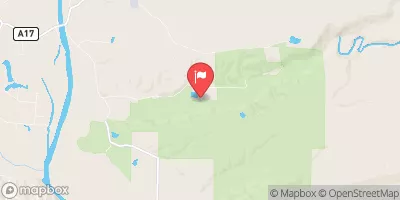
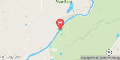
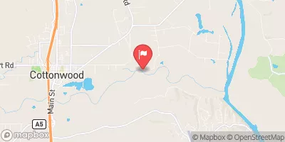
 South Fork Battle Creek
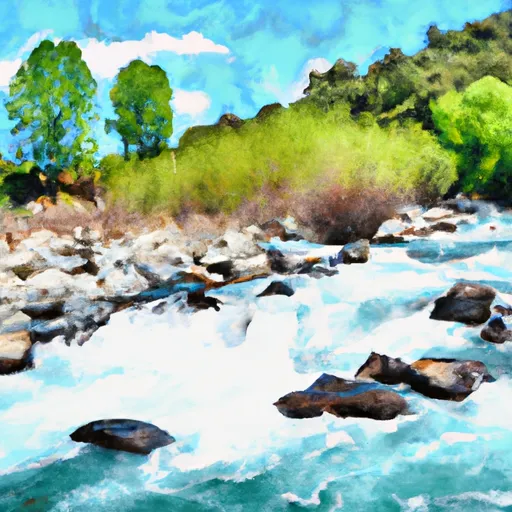 Battle Creek
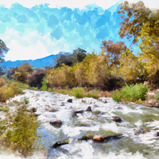 Bear Creek
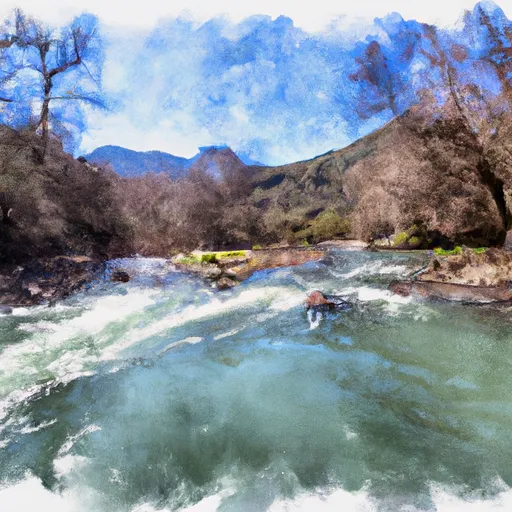 Paynes Creek