Summary
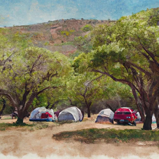
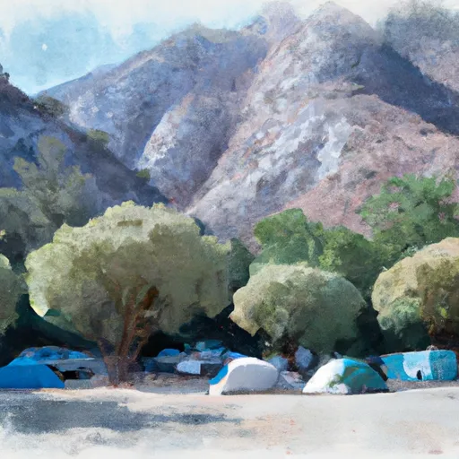
It is a popular destination for visitors who enjoy hiking, fishing, and camping. The area is surrounded by beautiful mountains, forests, and streams, offering visitors plenty of opportunities to explore the outdoors. Hikers can enjoy several trails, including the popular North Fork Trail, which offers stunning views of the surrounding landscape. Additionally, the area is home to a variety of wildlife, including deer, black bears, and mountain lions, providing visitors with unique opportunities to observe these animals in their natural habitat.
One of the most unique things about Paynes Crossing is the abundance of fishing opportunities available to visitors. The area is home to several species of fish, including salmon and steelhead trout, making it a popular destination for anglers. Additionally, the nearby North Fork Mokelumne River is a designated Wild and Scenic River, providing visitors with a truly beautiful and pristine fishing experience. Overall, Paynes Crossing is an excellent destination for anyone looking to experience the beauty of California's wilderness while enjoying a variety of outdoor activities.
Hourly Weather Forecast
Area Campgrounds
| Location | Reservations | Toilets |
|---|---|---|
 Massacre Flat
|
||
 Reading Island
|
||
 Sycamore Grove
|
||
 Sycamore Grove Campground
|
||
 Camp Discovery Group Campground
|

 Forward Park
 Diamond Park
 John R Trainor Park