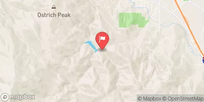
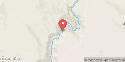
Iron Gate Dam To Happy Camp
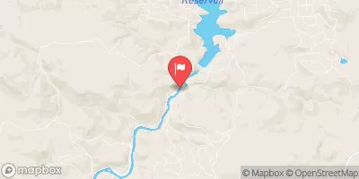
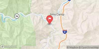
This is a long stretch of river between the Iron Gate Dam and Happy Camp. Most of the run is roadside to CA 96 so you can easily shorten this into days runs. This is a good beginner section of water for Kayaks and Canoes as most of the run is Class II with 1 Class III rapid.
Suggested river levels for paddling this section of the Klamath River are between a bare minimum of 1,000cfs and a high of 15,000cfs.
River conditions sourced from USGS 11516530, the Klamath R Bl Iron Gate Dam Ca
Remember only watercraft are permitted
at Iron Gate Dam to Happy Camp.
Run Stats
Status | Runnable |
Class Level | II to III |
Elevation | 2,168 ft |
Run Length | 84.0 Mi |
Gradient | 13 FPM |
Streamflow Discharge | 1270 cfs |
Gage Height | 2.5 ft |
Air Temperature | 73° |
River | Klamath River |
Reporting Streamgage |
Klamath R Bl Iron Gate Dam Ca
USGS 11516530 |
Lumgrey Creek Rapid
Class III to III+ |
Gauge | Streamflow | Stage |
---|---|---|
Rogue River Near Mcleod
USGS 14337600 |
1,040 cfs | 1.7 ft |
Klamath R Bl Iron Gate Dam Ca
USGS 11516530 |
1,270 cfs | 2.5 ft |
East Fork Ashland Creek Near Ashland
USGS 14353500 |
5 cfs | 1.7 ft |
Sprague River Near Chiloquin
USGS 11501000 |
278 cfs | 1.7 ft |
Scott R Nr Fort Jones Ca
USGS 11519500 |
310 cfs | 5.3 ft |
Sevenmile Cnl At Dike Rd Br
USGS 11504290 |
14 cfs | 4,140.6 ft |
West Fork Ashland Creek Near Ashland
USGS 14353000 |
6 cfs | 1.5 ft |
Rogue R At Cole M Rivers F Hatchery Nr Mcleod
USGS 14335072 |
770 cfs | 1.8 ft |
Elk Creek Near Trail
USGS 14338000 |
70 cfs | 3.1 ft |
Bear Creek Blw Ashland Creek At Ashland
USGS 14354200 |
20 cfs | 0.3 ft |
Snotel Site | Snowpack | 24hr Change |
---|---|---|
Howard Prairie
SNOTEL 1158 |
13" | -1" |
Sevenmile Marsh
SNOTEL 745 |
45" | -1" |
Sun Pass
SNOTEL 1078 |
11" | -1" |
big flat
SNOTEL BFLC1 |
39.3" | -1.1" |
Fish Lk.
SNOTEL 479 |
19" | -1" |
Cold Springs Camp
SNOTEL 406 |
17" | -1" |
crater lake national park hq
SNOTEL CRLO3 |
76.31" | -8.38" |
Billie Creek Divide
SNOTEL 344 |
33" | -1" |
Fourmile Lake
SNOTEL 483 |
37" | -1" |
Big Red Mountain
SNOTEL 341 |
49" | -1" |
Annie Springs
SNOTEL 1000 |
67" | -2" |
Campground | Campsites | Reservations | Toilets | Showers | Elevation |
---|
Ski Area | Snowpack | Air Temperature | 5 Day Forecast |
---|---|---|---|
Mt. Ashland Ski & Snowboard Resort | 49" | 53° | 0" |
River Run | Streamflow | Length | Class |
---|---|---|---|
Iron Gate Dam to Happy Camp | 1270.0cfs | 84.0 Mi | II to III |