Wilderness Boundary To Private Property river run
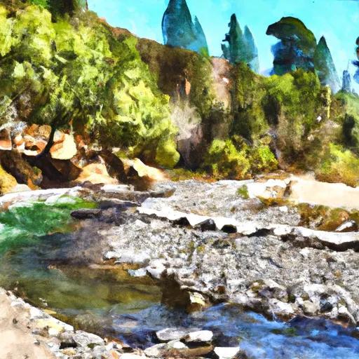
Wilderness Boundary To Private Property
In terms of regulations, the river run is managed by the Bureau of Land Management (BLM) and has specific rules and guidelines to ensure the safety and preservation of the area. These include limiting group sizes to 15 people, requiring personal flotation devices for all participants, and prohibiting alcohol and drugs on the river.
It is important to note that the Whitewater River Run is located within the San Bernardino National Forest and visitors must obtain a permit from the BLM before embarking on their adventure. Additionally, visitors should be aware of the potential for flash floods during the spring and summer months, and should always check current weather and river conditions before setting out.
Plan your run down to the hour
Same weather feed Snoflo's iOS app uses -- updated continuously from NOAA / yr.no. Watch the precipitation column on the meteogram; rain ahead of a run typically lifts flows 12-48 hours later depending on the basin.
Next 5 days, hour by hour
Temperature line with weather symbols on top, snow + rain accumulation as columns, humidity as a dotted line.
5-day forecast table
Every 3 hours, broken out across temperature, snow, rain, humidity, and wind. Each cell is colour-coded relative to the column min/max.
| Time | Condition | Temp (°F) | Snow (in) | Rain (in) | Humidity (%) | Wind (mps) | Wind dir |
|---|---|---|---|---|---|---|---|
| Loading detailed forecast… | |||||||
15-day temperature & precipitation
Daily temperatures, snow, and rain projected over the next two weeks -- the upstream story that drives next week's flows.
Regional streamflow levels
USGS streamgauges around Wilderness Boundary To Private Property -- useful for spotting upstream pulses and gauging which tributary is contributing what.
| Streamgauge | Discharge | View |
|---|---|---|
| Marble Fork Kaweah R Ab Horse C Nr Lodgepole Ca | 149 cfs | → |
| Hot C A Flume Nr Mammoth Lakes Ca | 65 cfs | → |
| Mf San Joaquin R Nr Mammoth Lakes Ca | 579 cfs | → |
| Deadman C A Big Springs Nr Crestview Ca | 37 cfs | → |
| Nf Willow C Nr Sugar Pine Ca | 416 cfs | → |
| Big C Div Nr Fish Camp Ca | 0 cfs | → |
Plan a longer trip
The closest boat launches, other paddle runs, and campgrounds so a day on the water can grow into a full weekend.
Other river runs
- Headwaters To Wilderness Boundary
- Headwaters To Inlet At South Lake
- Dam Outlet At South Lake To Habeggers Rv Park
- Outlet Of Martha Lake (Boundary Extend 0.25 Mile On Each Side Of River) To Northwestern Boundary Of Kings Canyon National Park
- Fish Slough
Whitewater safety
- Check the flow before you run
- Use the linked-gauge card and Regional Flow panel above. Class ratings change with flow -- a Class III at low water can become Class IV+ at high water.
- Know your skill ceiling
- Pick runs comfortably below your ceiling. Cold-water and big-water runs raise the consequences of any mistake.
- Wear the right gear
- Helmet, PFD, drysuit / wetsuit when water is below 60°F. Throw bag, knife, and whistle on your person, not in the boat.
- Scout, set safety, and run with a team
- Scout new rapids on foot, set safety with throw bags above the consequence pool, and run with at least one other competent paddler.
- Respect the river
- Strainers, undercuts, low-head dams, and wood can kill at any class rating. When in doubt, portage.
Set push alerts in the Snoflo app
Save Wilderness Boundary To Private Property as a favorite, set a discharge threshold (e.g. "alert me when flow hits 600 cfs"), and the iOS app pushes the moment the linked gauge crosses.
About Wilderness Boundary To Private Property
What's the optimal flow for Wilderness Boundary To Private Property?
The optimal flow depends on the section and the craft. Check the Run Details panel for the linked gauge and current status.
How fresh is the cfs reading on this page?
The linked USGS streamgauge reports continuously (every 15 minutes); Snoflo refreshes throughout the day. Hover the streamflow sparkline to read individual datapoints.
What's the whitewater class?
See the Run Details panel for the class rating Snoflo tracks for this run. Class ratings change with flow -- a Class III at low water can become Class IV in high water.
Where do I put in / take out?
Tap Directions in the hero above to open driving directions to the put-in. For shuttle planning, check the Nearby Boat Launches panel and the river run operator's site.
Can I get alerts when flows hit the optimal range?
Yes -- alerts are managed in the Snoflo iOS app. Favorite this run, set a discharge threshold, and you'll get a push the moment the gauge crosses.
Other runs near here
Snoflo-tracked paddle runs within driving distance of Wilderness Boundary To Private Property.