2026-02-09T18:00:00-07:00
* AFFECTED AREA...Fire Weather Zones 221, 222, 225, 228, 229, 230, 233 and 237. * WINDS...West 15 to 20 mph with gusts up to 40 mph. * RELATIVE HUMIDITY...As low as 7 percent. * IMPACTS...Fires will catch and spread quickly. Please take care not to start a wildfire today!
Summary
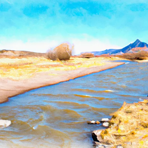
The ideal streamflow range for this run is between 600 and 1200 cubic feet per second (cfs). The class rating for the run is Class III-IV, making it suitable for experienced paddlers.
The segment mileage for this run is approximately 10 miles, with several notable rapids and obstacles along the way. Among these are Pinball, a narrow chute with boulders that requires precise navigation, and Supermax, a Class IV rapid with steep drops and powerful hydraulics.
The area is subject to specific regulations to ensure safety and protect the natural environment. Paddlers are required to wear personal floatation devices and helmets at all times while on the river. Camping is prohibited along the banks of the river, and visitors are expected to pack out all trash to maintain the area's pristine condition.
Multiple sources confirm the accuracy of this information, including the American Whitewater website and local outfitters who offer guided trips on the Whitewater River Run. Overall, this stretch of river offers a thrilling whitewater experience for experienced paddlers who are properly equipped and prepared to navigate its challenging rapids and obstacles.
°F
°F
mph
Wind
%
Humidity
15-Day Weather Outlook
River Run Details
| Last Updated | 2025-11-02 |
| River Levels | 18 cfs (0.99 ft) |
| Percent of Normal | 151% |
| Status | |
| Class Level | iii-iv |
| Elevation | ft |
| Run Length | 12.0 Mi |
| Streamflow Discharge | cfs |
| Gauge Height | ft |
| Reporting Streamgage | USGS 08229500 |
5-Day Hourly Forecast Detail
Nearby Streamflow Levels
Area Campgrounds
| Location | Reservations | Toilets |
|---|---|---|
 Cold Creek Backcountry Campsite
|
||
 Campsite 0.3
|
||
 Campsite 1.2
|
||
 Campsite 1.6
|
||
 Campsite 1.8
|
||
 Campsite 2.2
|
River Runs
-
 Mountain Front To Western Park Boundary
-
 Headwaters To Confluence With Sand Creek
-
 Eastern Boundary Of Park To Western Park Boundary
-
 Headwaters To Confluence With Medano Creek
-
 Headwaters At Medano Lake To Ends On The Sand Sheet Past The Southern End Of The Dunes
-
 Headwaters At Indian Spring To Ends Where The Creek Is Diverted Into Irrigation Ditches


