Dipping Lakes--Sec 5, T33n, R4e To Confluence With West Fork--Sec 17, T33n, R4e Paddle Report
Last Updated: 2025-11-13
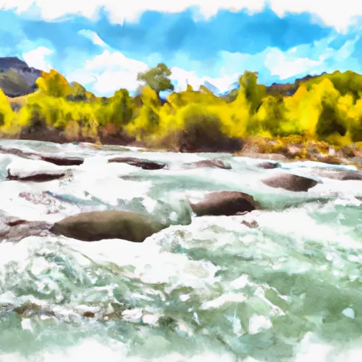
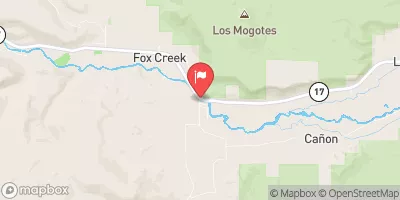
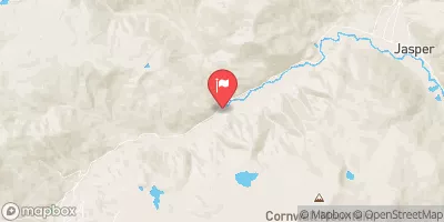
The Whitewater River Run Dipping Lakes--Sec 5, T33N, R4E To Confluence With West Fork--Sec 17, T33N, R4E in the state of Colorado is a popular destination for kayaking and rafting enthusiasts.
Summary
The ideal streamflow range for this section of the river is between 800-1,500 cfs. The class rating for this run is III-IV, which means that it is best suited for intermediate to advanced paddlers.
The segment mileage for this run is approximately 6 miles and includes several notable rapids and obstacles such as The Notch, Screaming Left Turn, and the Staircase. The Notch is a particularly challenging rapid that requires skilled maneuvering. The Screaming Left Turn and Staircase are also challenging rapids that require careful navigation.
Specific regulations to the area include a permit system for commercial outfitters, and a requirement that all boaters wear a personal flotation device. Additionally, boaters are required to pack out all trash. The Dipping Lakes--Sec 5, T33N, R4E To Confluence With West Fork--Sec 17, T33N, R4E section of the Whitewater River Run is a thrilling and challenging adventure that requires skill and experience. It is important to check the streamflow before attempting this run and to comply with all regulations in order to ensure a safe and enjoyable experience for all.
°F
°F
mph
Wind
%
Humidity
15-Day Weather Outlook
River Run Details
| Last Updated | 2025-11-13 |
| River Levels | 600 cfs (4.18 ft) |
| Percent of Normal | 113% |
| Status | |
| Class Level | None |
| Elevation | ft |
| Streamflow Discharge | cfs |
| Gauge Height | ft |
| Reporting Streamgage | USGS 09344000 |
5-Day Hourly Forecast Detail
Nearby Streamflow Levels
Area Campgrounds
| Location | Reservations | Toilets |
|---|---|---|
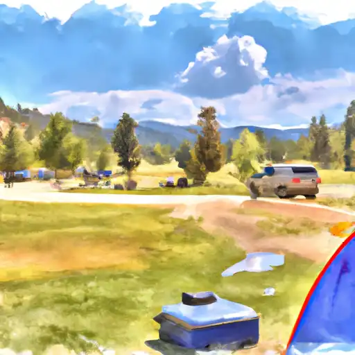 Trujillo Meadows
|
||
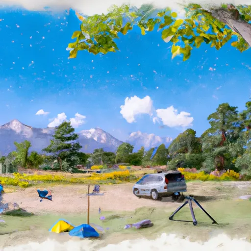 Trujillo Meadows Campground
|
||
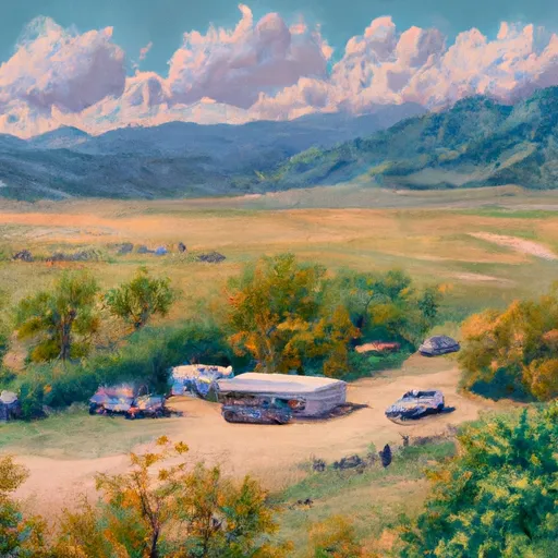 Conejos
|
||
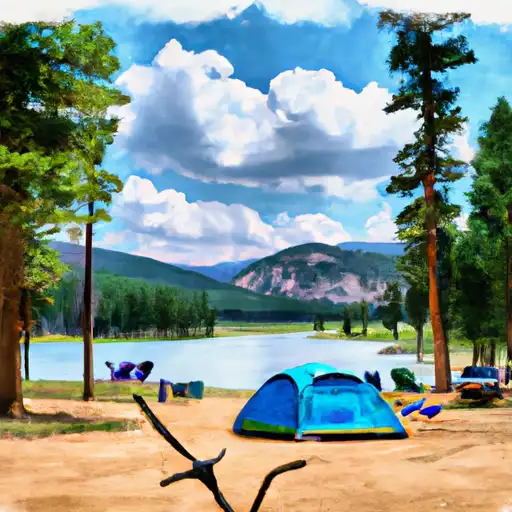 Spectacle Lake
|
||
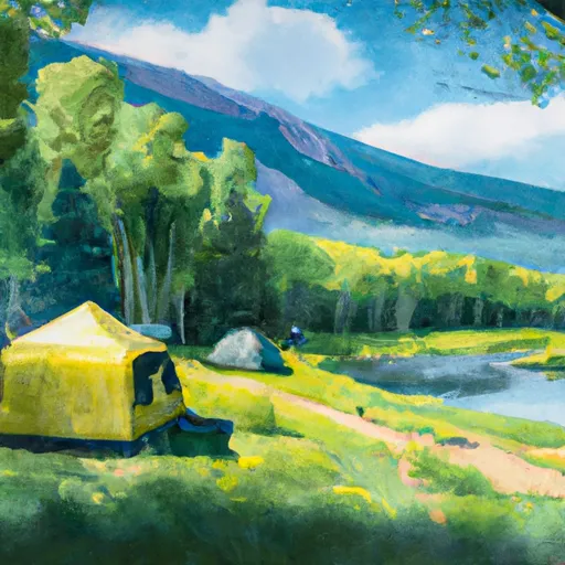 Spectacle Lake Campground
|
||
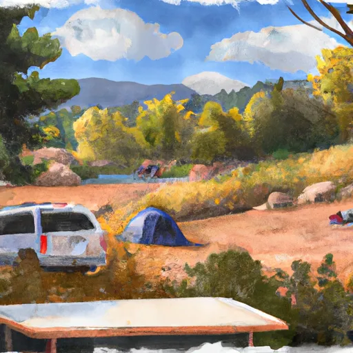 Elk Creek Overflow Campground
|
River Runs
-
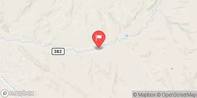
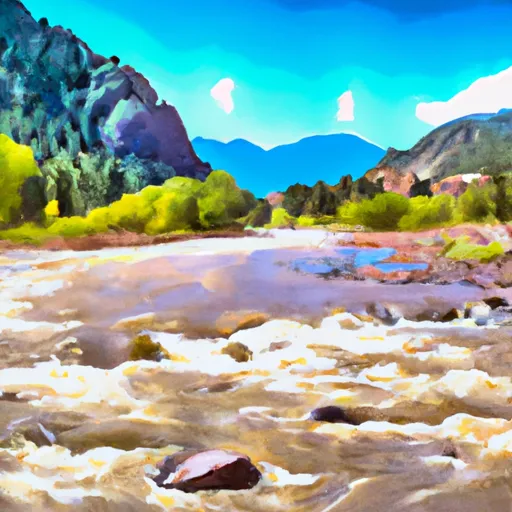 Sec 1, T33N, R3E To Confluence With East Fork--Sec 17, T33N, R4E
-
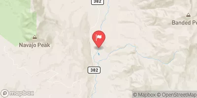
 Dipping Lakes--Sec 5, T33N, R4E To Confluence With West Fork--Sec 17, T33N, R4E
-
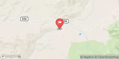
 Lower Branch--Sec 28, T33N, R3E; Upper Branch--Sec 15, T33N, R3E To Sec 7, T32N, R4E
-
 Sec 17, T35N, R4E To Sec 36, T35N, R4E
-
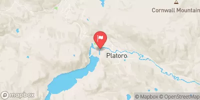
 Lake Fork--Confluence With South Fork To 1 Mile Below Town Of Platoro
-
 South Fork--Sec 19, T35N, R4E To Sec 36, T35N, R4 1/2E


 Trujillo Meadows Lake
 Spectacle Lake Fishing Site
 La Manga Creek (Beaver Ponds)