Summary
This boat ramp provides access to the Platoro Reservoir, a 640-acre lake that is popular for fishing and boating activities.
The Platoro Reservoir Boating Site is a single-lane boat ramp that is approximately 20 feet wide, providing ample space for launching and retrieving boats. The ramp is suitable for small to medium-sized watercraft, including fishing boats, kayaks, canoes, and small motorboats.
According to the latest information available, the Platoro Reservoir Boating Site is operated by the US Forest Service and is open to the public year-round, weather permitting. There are no fees for using the boat ramp or launching watercraft, but visitors are required to have a valid Colorado State Parks pass to access the area.
Overall, the Platoro Reservoir Boating Site is a popular destination for recreational boaters and anglers, offering easy access to the scenic Platoro Reservoir and its abundant fish populations.
°F
°F
mph
Wind
%
Humidity
15-Day Weather Outlook
Nearby Boat Launches
5-Day Hourly Forecast Detail
Area Streamflow Levels
River Runs
-
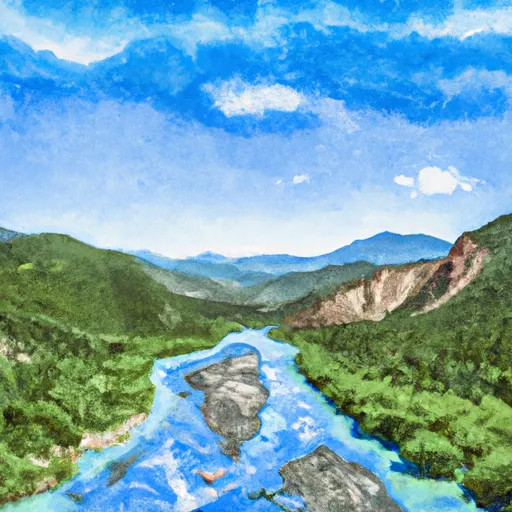 El Rito Azul--Blue Lake (Sec 26, T35N, R3E) And Portion Of Conejos Above Platoro Reservoir To Upper Reach Of Platoro Reservoir--Sec 6, T35N, R4E
-
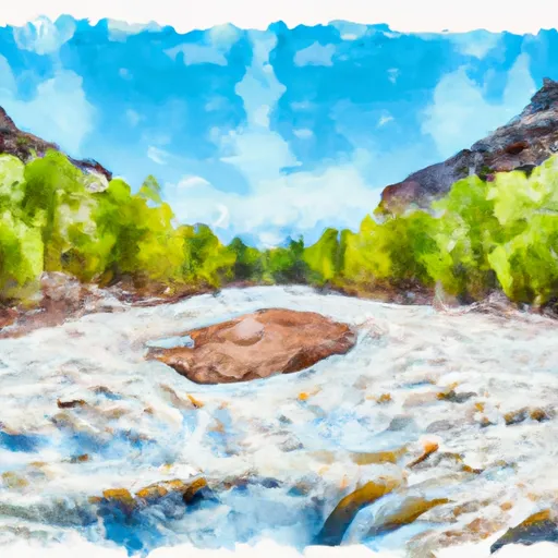 Middle Fork--Sec 13, T35N, R2E To Confluence Of Three Forks--Sec 14, T35N, R3E
-
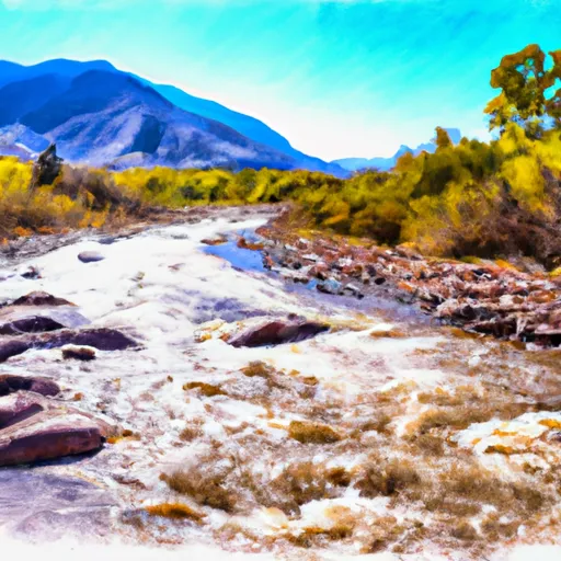 North Fork--Sec 8, T35N, R2E To Confluence With Middle Fork
-
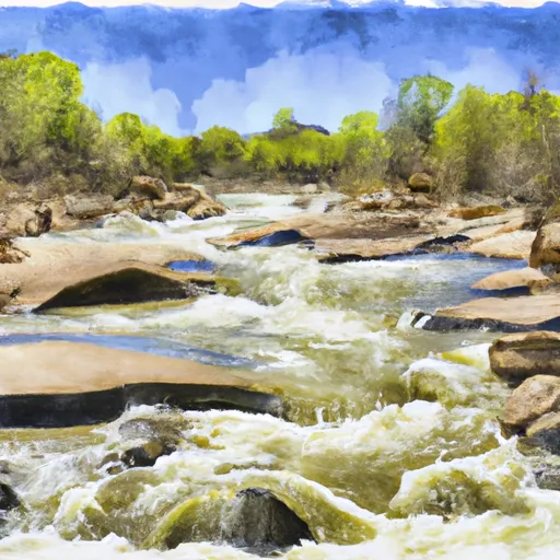 Sec 17, T35N, R4E To Sec 36, T35N, R4E
-
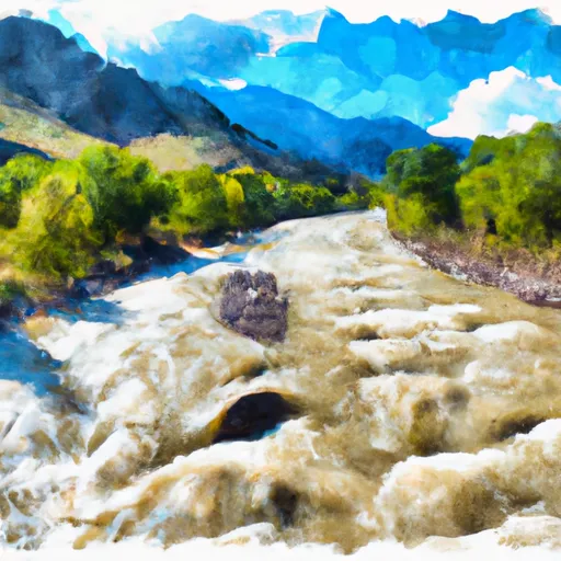 South Fork--Sec 19, T35N, R4E To Sec 36, T35N, R4 1/2E
-
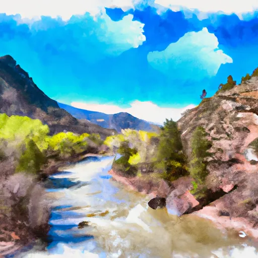 Lake Fork--Confluence With South Fork To 1 Mile Below Town Of Platoro

 Platoro Reservoir Boating Site
 Kerr Lake Fishing Site
 Lost Lake
 Poage Lake Fishing Site