Summary
The ideal streamflow range for this section of the river is between 800 and 1,500 cubic feet per second (cfs). The class rating for this section of the river is class III-IV, making it suitable for intermediate to advanced paddlers.
The segment mileage of the Shoshone Power Plant to Nf Boundary section is approximately 4.5 miles long and offers exciting rapids and obstacles such as Baptism, Tombstone, and the infamous Shoshone Falls. The rapids along this section of the river are known for their technicality and require careful navigation.
In terms of regulations, all individuals floating on the river must wear a personal flotation device (PFD) and carry a whistle. Additionally, commercial outfitters operating on this section of the river must comply with specific permit requirements and safety regulations enforced by the Bureau of Land Management.
°F
°F
mph
Wind
%
Humidity
15-Day Weather Outlook
River Run Details
| Last Updated | 2026-02-07 |
| River Levels | 11300 cfs (7.64 ft) |
| Percent of Normal | 84% |
| Status | |
| Class Level | iii-iv |
| Elevation | ft |
| Streamflow Discharge | cfs |
| Gauge Height | ft |
| Reporting Streamgage | USGS 09085100 |
5-Day Hourly Forecast Detail
Nearby Streamflow Levels
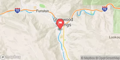 Roaring Fork River At Glenwood Springs
|
311cfs |
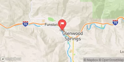 Colorado River Below Glenwood Springs
|
1070cfs |
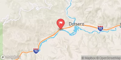 Colorado River Near Dotsero
|
777cfs |
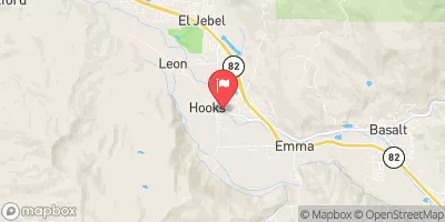 Roaring Fork River Near Emma
|
236cfs |
 Eagle River Below Gypsum
|
143cfs |
 Crystal River Ab Avalanche C
|
39cfs |


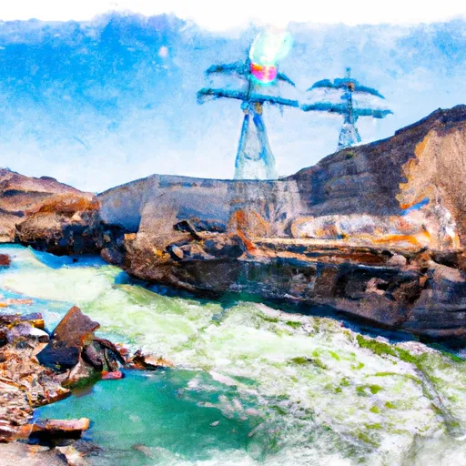 Shoshone Power Plant To Nf Boundary
 Shoshone (Power Plant to Grizzly Creek)
 Grizzly Creek to Two Rivers Park
 Barrel Springs
 A E Axtell Park
 Hyland Park
 Sister Lucy Downey Park
 Sopris Park