Below Rio Grande Reservoir (Sec 13, T40n, R4w) To Spring Creek (Sec 31, T41n, R2w) Paddle Report
Last Updated: 2025-11-13
The whitewater river run below Rio Grande Reservoir to Spring Creek in Colorado spans a distance of approximately 18 miles, with a recommended streamflow range of 500 to 1,500 cubic feet per second (cfs) during the peak season of May through July.
Summary
This segment is rated as Class III to IV, with several challenging rapids and obstacles such as Widdle Waddle, Baby Falls, and Razor Rock.
Due to the remote location of the river, there are no specific regulations or permits required for this run. However, it is important to practice Leave No Trace principles and respect private property along the riverbank. It is also recommended to have experience with Class III to IV rapids and to wear appropriate safety gear, including a helmet and personal flotation device.
°F
°F
mph
Wind
%
Humidity
15-Day Weather Outlook
River Run Details
| Last Updated | 2025-11-13 |
| River Levels | 1320 cfs (4.08 ft) |
| Percent of Normal | 100% |
| Status | |
| Class Level | iii |
| Elevation | ft |
| Streamflow Discharge | cfs |
| Gauge Height | ft |
| Reporting Streamgage | USGS 08213500 |
5-Day Hourly Forecast Detail
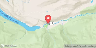
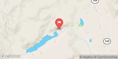
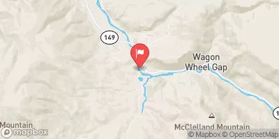
Nearby Streamflow Levels
Area Campgrounds
| Location | Reservations | Toilets |
|---|---|---|
 Crooked Creek Dispersed Area
|
||
 Bristol Head
|
||
 Bristol Head Campground
|
||
 Road Canyon Campground
|
||
 Road Canyon
|
||
 Silver Thread
|


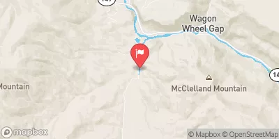
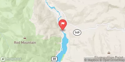
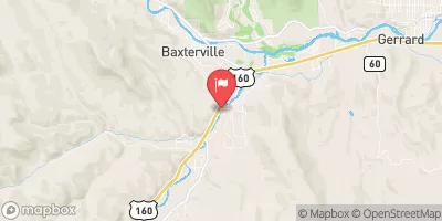
 Below Rio Grande Reservoir (Sec 13, T40N, R4W) To Spring Creek (Sec 31, T41N, R2W)
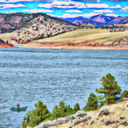 Road Canyon Reservoir Number 1
 Road Canyon Dam Fishing Site
 Brown Lakes SWA
 Love Lake Picnic Site
 Continental Reservoir