Summary
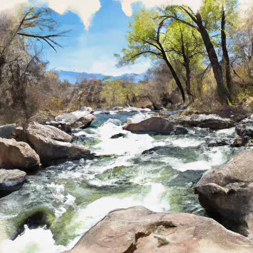
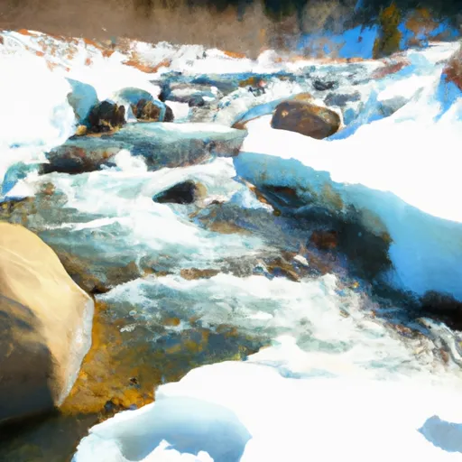
The ideal streamflow range for this segment is between 200 and 500 cfs. The segment is rated as Class III and is approximately 7.1 miles in length. There are various river rapids and obstacles along the way, including the "Double Drop" and "Hell's Hole" rapids.
The Colorado Parks and Wildlife Department regulates this area, and all visitors are required to obtain a valid fishing license before entering. Additionally, it is important to note that camping is not allowed within a certain distance from the river, and all visitors must adhere to proper Leave No Trace principles.
°F
°F
mph
Wind
%
Humidity
15-Day Weather Outlook
River Run Details
| Last Updated | 2025-06-28 |
| River Levels | 1300 cfs (7.07 ft) |
| Percent of Normal | 14% |
| Status | |
| Class Level | iii |
| Elevation | ft |
| Streamflow Discharge | cfs |
| Gauge Height | ft |
| Reporting Streamgage | USGS 09169500 |
5-Day Hourly Forecast Detail
Nearby Streamflow Levels
 Dolores River At Bedrock
|
24cfs |
 Dolores River Near Bedrock
|
29cfs |
 San Miguel River At Uravan
|
60cfs |
 Dolores River Near Slick Rock
|
20cfs |
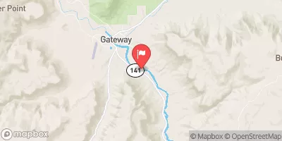 Dolores River Near Gateway
|
108cfs |
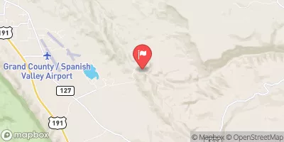 Mill Creek At Sheley Tunnel
|
4cfs |
Area Campgrounds
| Location | Reservations | Toilets |
|---|---|---|
 Buckeye
|
||
 Buckeye Recreation Area
|
||
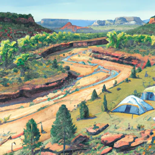 Dolores River Camp 2
|
||
 Dolores River Camp 1
|
||
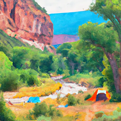 Dolores River Camp 4
|
||
 Dolores River Camp 3
|


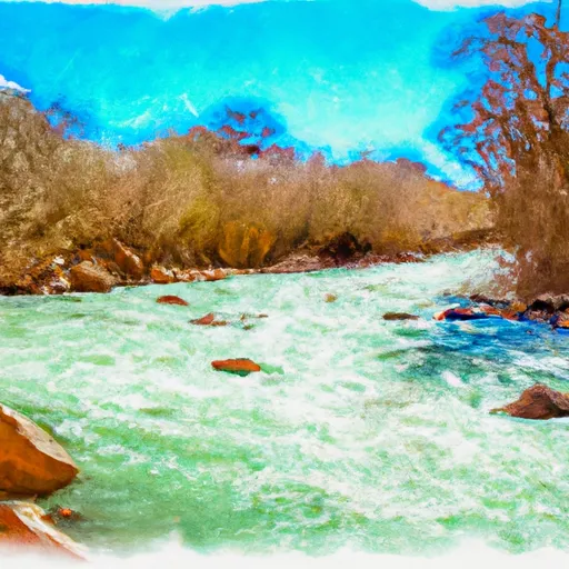 La Sal Creek Segment 2
 Spring Creek
 La Sal Creek Segment 3
 Lion Creek Segment 2
 Ice Lake Creek Segment 2
 Ice Lake Creek Segment 1