Summary
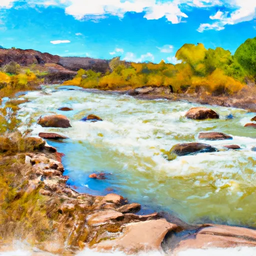
The ideal streamflow range for this segment is between 200 and 400 cfs. The segment is rated as Class III, which means that it has moderate rapids with moderate waves and requires some skill to navigate. The segment is approximately 1.5 miles long and features several notable rapids such as Sock-It-To-Me, Pinball, and The Thing.
One of the major obstacles on this segment is the narrow channel that requires precise handling. The rocks and boulders in the channel can cause serious injury or damage to watercraft if not navigated properly. The segment is also subject to flash floods, which can create dangerous conditions for boaters.
There are specific regulations that apply to this area. For example, the use of alcohol or drugs is strictly prohibited while on the river. All boaters are required to wear personal flotation devices (PFDs) and helmets. Additionally, there are restrictions on the type of watercraft that can be used on the river and the maximum number of people allowed on each boat.
Overall, the La Sal Creek Segment 3 offers an exciting whitewater experience for intermediate-level boaters. However, it is important to follow all regulations and exercise caution while on the river.
°F
°F
mph
Wind
%
Humidity
15-Day Weather Outlook
River Run Details
| Last Updated | 2025-06-28 |
| River Levels | 1300 cfs (7.07 ft) |
| Percent of Normal | 14% |
| Status | |
| Class Level | iii |
| Elevation | ft |
| Streamflow Discharge | cfs |
| Gauge Height | ft |
| Reporting Streamgage | USGS 09169500 |
5-Day Hourly Forecast Detail
Nearby Streamflow Levels
Area Campgrounds
| Location | Reservations | Toilets |
|---|---|---|
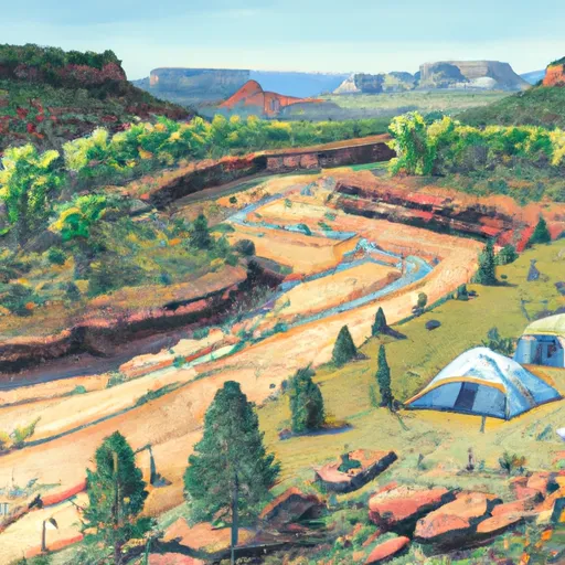 Dolores River Camp 2
|
||
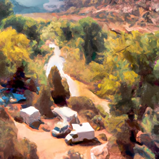 Dolores River Camp 1
|
||
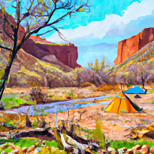 Dolores River Camp 3
|
||
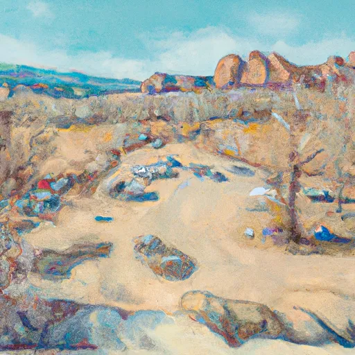 Buckeye
|
||
 Buckeye Recreation Area
|
||
 Dolores River Camp 4
|


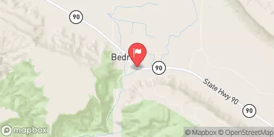
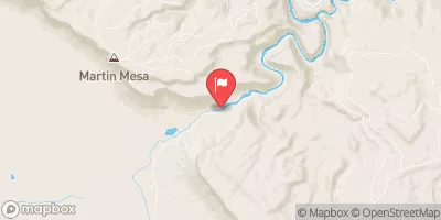
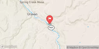
 La Sal Creek Segment 3
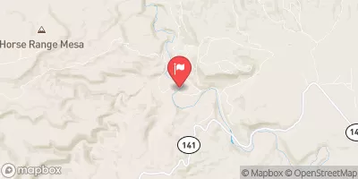
 La Sal Creek Segment 2
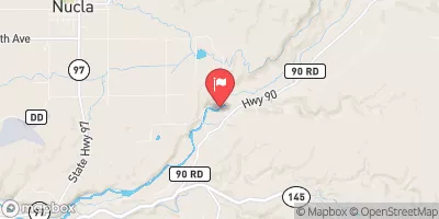
 Dolores River - Mcphee To Bedrock Segment In Uncompahgre Field Office
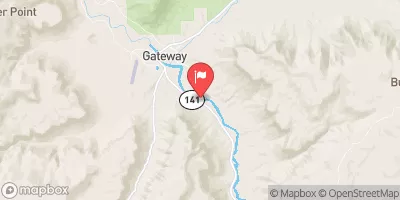
 Paradox and Mesa Canyon (Bedrock to Gateway)
 Little Gypsum Valley Bridge To One Mile Above Hwy 90 Bridge
 Dolores River Segment 2