Summary
This boat ramp is a concrete ramp that leads into the Colorado River. It is approximately 16 feet wide and can accommodate different watercraft sizes.
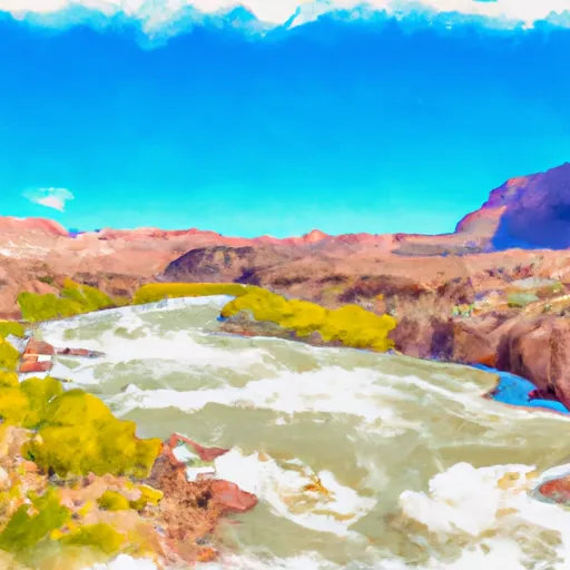
The UT 128 Moab boat ramp provides access to the Colorado River, which is a popular destination for boating, kayaking, and fishing. The river has sections for both calm floating and whitewater rafting, making it a versatile spot for outdoor enthusiasts.
According to the Utah Division of Wildlife Resources, the Colorado River allows motorized and non-motorized watercraft, including boats, canoes, kayaks, and rafts. However, some sections of the river may have specific regulations, so it is important to check with the local authorities before launching any watercraft.
In summary, the UT 128 Moab boat ramp is a concrete ramp located in Utah that provides access to the Colorado River. It is approximately 16 feet wide and can accommodate different watercraft sizes. The river allows motorized and non-motorized watercraft, including boats, canoes, kayaks, and rafts.
°F
°F
mph
Wind
%
Humidity

 UT 128 Moab
 Takeout Beach
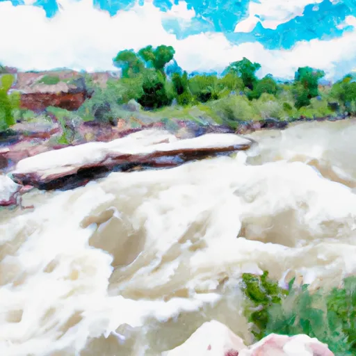 Unknown
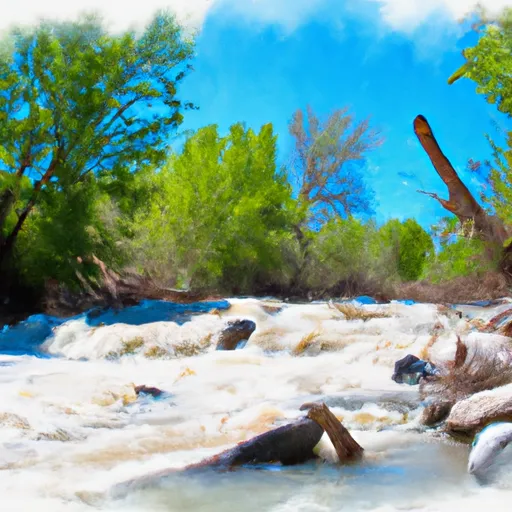 Mill Creek
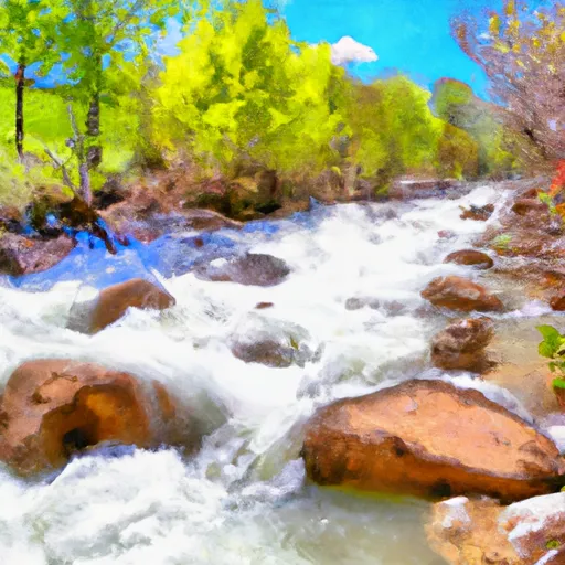 Mill Creek, North Fork
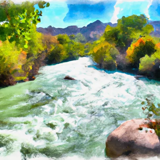 Kane Springs, Colo. River Seg. 4
 Colorado River