Summary
The ideal streamflow range for this segment is between 600-1000 cubic feet per second (cfs), which typically occurs during the months of May and June.
This segment is rated as a Class III-IV, with some challenging rapids and obstacles that require advanced skills and experience. One of the most notable rapids is Stateline, which features a steep drop followed by a tight turn and a large wave train. Other notable rapids include Snaggletooth, Disappointment, and Pinball.
The segment is approximately 28 miles long, starting at the Bradfield Bridge and ending at the Slickrock Boat Launch. Along the way, paddlers will encounter stunning scenery and wildlife, including bald eagles and bighorn sheep.
There are specific regulations for this area, including a permit system for overnight camping and a requirement to pack out all human waste. Additionally, the use of motorized vehicles or equipment is prohibited within 100 feet of the river.
°F
°F
mph
Wind
%
Humidity
15-Day Weather Outlook
River Run Details
| Last Updated | 2025-06-28 |
| River Levels | 1300 cfs (7.07 ft) |
| Percent of Normal | 14% |
| Status | |
| Class Level | iii-iv |
| Elevation | ft |
| Streamflow Discharge | cfs |
| Gauge Height | ft |
| Reporting Streamgage | USGS 09169500 |
5-Day Hourly Forecast Detail
Nearby Streamflow Levels
Area Campgrounds
| Location | Reservations | Toilets |
|---|---|---|
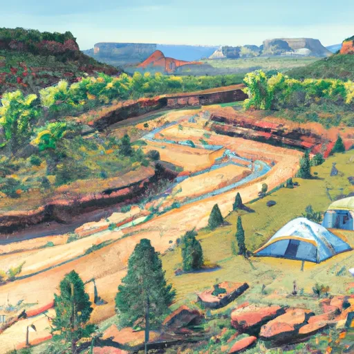 Dolores River Camp 2
|
||
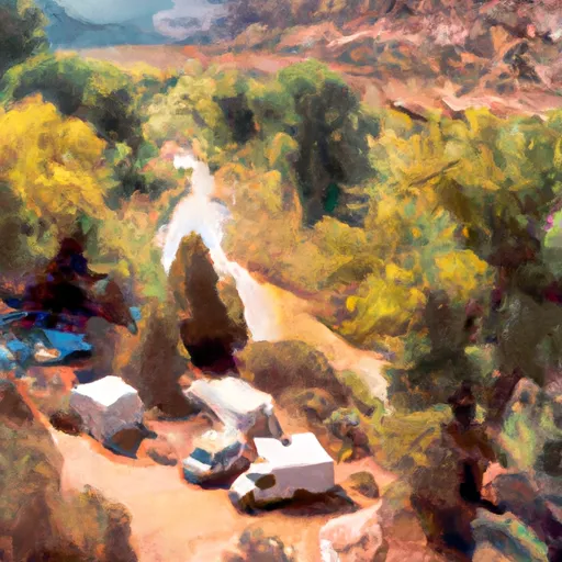 Dolores River Camp 1
|
||
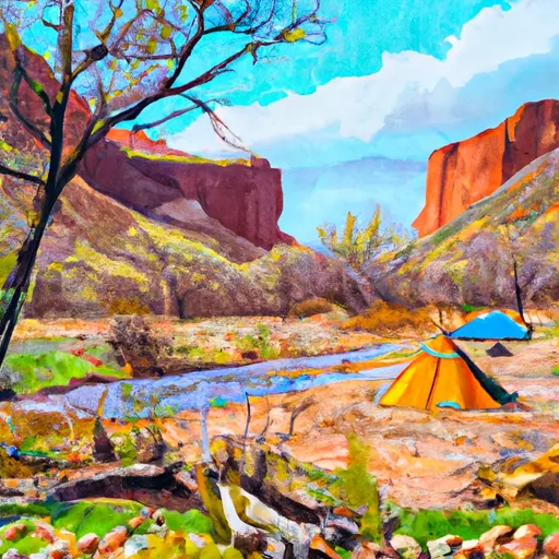 Dolores River Camp 3
|
||
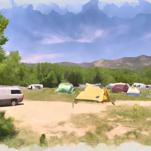 Free Campground (The Ball Park)
|
||
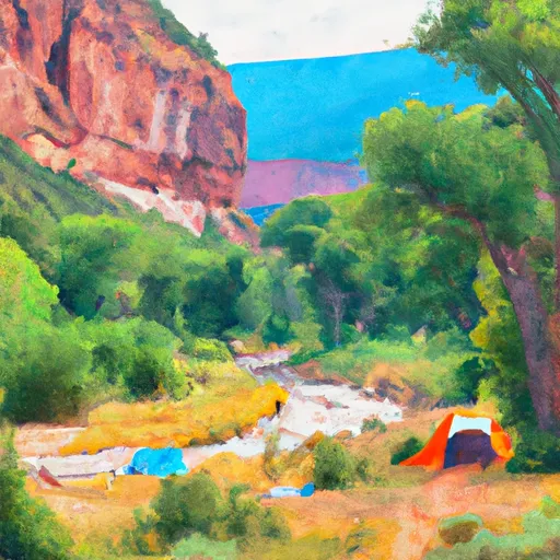 Dolores River Camp 4
|
||
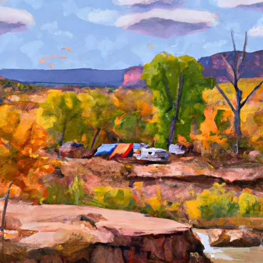 Dolores River Camp 5
|


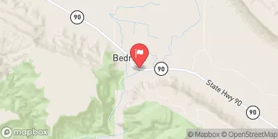
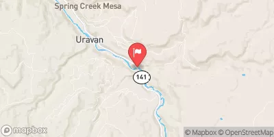
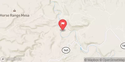
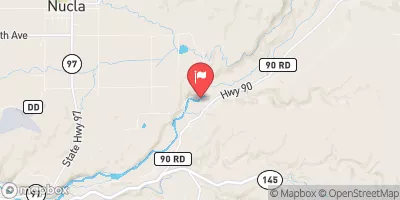
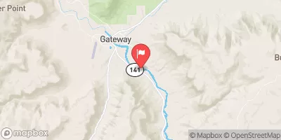
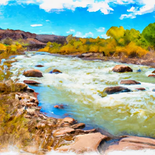 Dolores River Segment 2
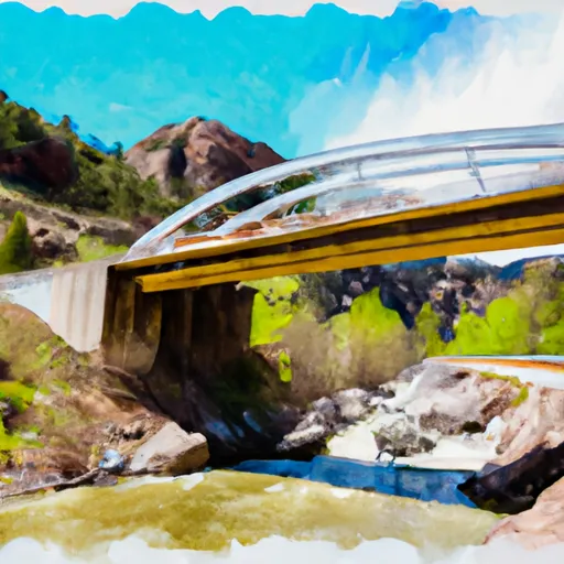 Little Gypsum Valley Bridge To One Mile Above Hwy 90 Bridge
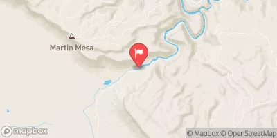
 Paradox and Mesa Canyon (Bedrock to Gateway)
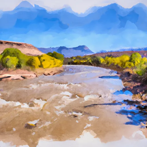 Dolores River - Mcphee To Bedrock Segment In Uncompahgre Field Office
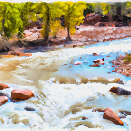 La Sal Creek Segment 3
 La Sal Creek Segment 2