Make an Announcement

Communicate warnings, disperse advice, and share.


FILTER PLANT

Whitewater River Run


Colorado Cache La Poudre River

Filter Plant

Class II TO III+

STREAMFLOW: 2,110 CFS

Too High
73°, Chance T-Storms And Areas Fog

The fbcoqyvxmjmiw river run in Colorado is a challenging Class III-IV run that features numerous obstacles, including several large boulders and tight, technical rapids. 
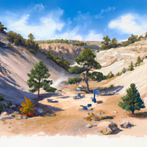
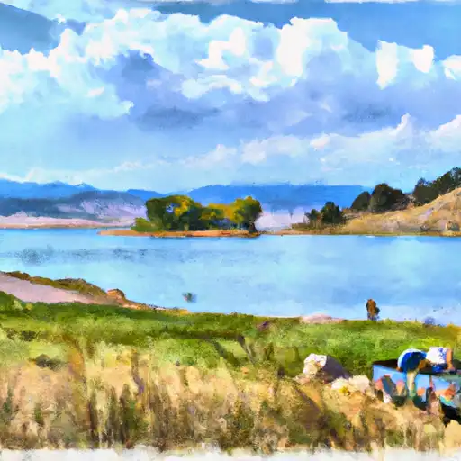
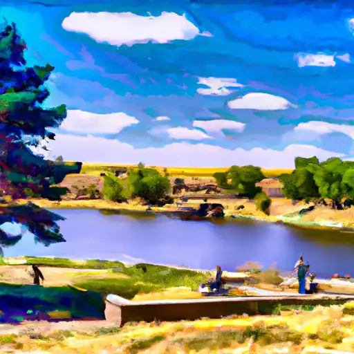
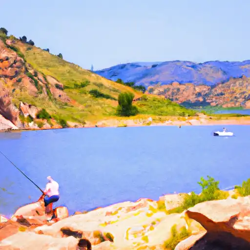
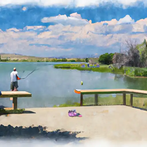
The best time to float this section of water is in the late spring or early summer, when the river is running at around 1,000-1,500 cubic feet per second. At lower flows, the rapids become more technical and require more precise navigation, while at higher flows the rapids become more powerful and require stronger paddling skills. Overall, this is a great run for experienced paddlers looking for a challenging and exciting adventure on the water.

Weather today, A slight chance of showers, then a chance of showers and thunderstorms after 9am. Areas of fog before 9am. Otherwise, mostly cloudy, with a high near 73. Light east southeast wind becoming south southeast 9 to 14 mph in the morning. Winds could gust as high as 22 mph. Chance of precipitation is 40%.

Status Too High
Class Level II to III+
Elevation 4,871 ft
Streamflow Discharge 2110 cfs
Gauge Height 7.2 ft
Reporting Streamgage Cache La Poudre R Ab Boxelder C
USGS 06752280

Nearby Snowpack and Streamflow Levels

Gauge Streamflow Stage
Colorado R Below Baker Gulch
USGS 09010500
508 cfs 7.6 ft
Big Thompson River At Mouth
USGS 06744000
690 cfs 4.3 ft
Plum Creek At Titan Rd Nr Louviers
USGS 06709530
211 cfs 8.9 ft
Elk Creek At Upper Station
USGS 09025300
7 cfs 5.5 ft
Sybille Creek Ab Mule Creek
USGS 06664400
143 cfs 2.5 ft
Big Dry Creek Blw C-470 At Highlands Ranch
USGS 06710150
5 cfs 1.9 ft
Big Thompson River At Loveland
USGS 06741510
861 cfs 3.9 ft
Fraser River At Winter Park
USGS 09024000
159 cfs 2.1 ft
Coal Creek Near Plainview
USGS 06730300
17 cfs 1.0 ft
Sybille Creek Ab Canal No. 3
USGS 06665790
93 cfs 1.5 ft
Snotel Site Snowpack 24hr Change
Grizzly Peak
SNOTEL 505
10" 1"
Fool Creek
SNOTEL 1186
17" -1"
Sawtooth
SNOTEL 1251
12" 0"
University Camp
SNOTEL 838
17" -1"
Lake Irene
SNOTEL 565
8" -2"
Laprele Creek
SNOTEL 571
1" 0"
Berthoud Summit
SNOTEL 335
20" -2"
Hourglass Lake
SNOTEL 1122
1" 0"
Bear Lake
SNOTEL 322
2" 0"

Popular Destinations

Campground Campsites Reservations Toilets Showers Elevation
Vedauwoo 28 8,288 ft
Pinewood Reservoir 22 6,604 ft
Reverends Ridge - Golden Gate State Park 106 9,105 ft
Meadow Park None 5,349 ft
Stove Prairie 9 6,068 ft
Carter Lake - North Side Campgrounds None 5,792 ft
Carter Lake - South Side Campgrounds None 5,711 ft
Lower Narrows 8 6,470 ft
Ansel Watrous 16 5,839 ft
Boulder County Fairground None 4,974 ft
Inlet Bay - Horsetooth Reservoir None 5,437 ft
Boyd Lake State Park 148 4,991 ft
Dutch George 20 6,520 ft
Flatiron Reservoir None 5,483 ft
Narrows 5 6,470 ft
Yellow Pine 19 8,338 ft
Tie City 15 8,528 ft
Union Reservoir 42 4,957 ft
Curt Gowdy State Park None 7,593 ft
South Bay - Horsetooth Reservoir None 5,435 ft
Standley Lake None 5,530 ft
Ski Area Snowpack Air Temperature 5 Day Forecast
Ski Estes Park (Hidden Valley) 2" 54° 0"
Eldora Mountain Resort 0" 53° 0"
Echo Mountain Park 0" 50° 0"
River Run Streamflow Length Class
Rustic (Upper) 2240.0cfs 20.0 Mi III to III+
Filter Plant 2110.0cfs None Mi II to III+
Gnar Section 528.0cfs 1.0 Mi V+
Upper Clear Creek 631.0cfs 2.5 Mi IV- to IV+
October Hole 503.0cfs None Mi II
Steven's Gulch to Bridges Take Out 2240.0cfs 12.0 Mi III- to IV+
Tunnel 1 to Golden Whitewater Park 631.0cfs None Mi III- to III+
Lower Boulder Canyon 818.0cfs None Mi IV- to V-
Lower North Fork 2240.0cfs 11.0 Mi III
Upper Narrows 2240.0cfs 0.5 Mi V- to V+
Upper North Fork 445.0cfs 9.0 Mi IV+ to V-
NSV 503.0cfs 13.0 Mi V+
Filter Plant 2110.0cfs None Mi II to III+
Upper South Boulder Creek 706.0cfs None Mi V+
SSV - Confluence to Picnic Grounds 503.0cfs 5.0 Mi V to V+
Main Section 1090.0cfs 3.0 Mi IV+ to V
Lower Narrows 2240.0cfs 0.5 Mi V- to V+
Idledale to Morrison 213.0cfs 3.0 Mi IV+ to V
Golden Whitewater Park 2110.0cfs 0.75 Mi II+
Middle Narrows 2240.0cfs 1.0 Mi IV to V-
Upper South Boulder Creek 706.0cfs None Mi V+

Log Your Visit

When was your last visit to Filter Plant?

Add a Photo

How was it? How were conditions?

Rate the paddle


Submit

Leave A Review

Filter Plant

Submit

Upload an Image

Filter Plant
Login

Need an Account?

Forgot Your Password?

Delete User Account

Welcome to Snoflo


Continue with a free account

Already Have an Account?


Snoflo Premium

Your first week's free. Cancel anytime

Have a Promo Code?


Already Have an Account?

Signup for Basic Access


Welcome to Snoflo


Continue with a free account

Add Snoflo Premium


Already Have an Account?


Please Verify Your Account

Favorite Limit Reached
Signup for a Free Account

Already Have an Account?