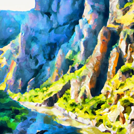
Gunnison Gorge
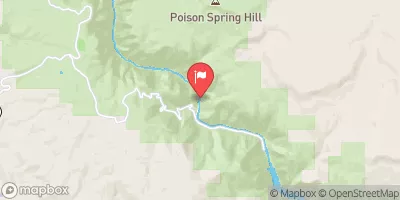
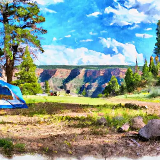
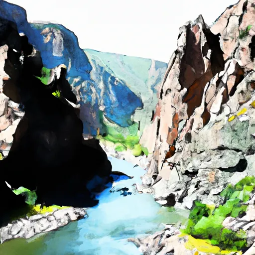
The Black Canyon or (Gunny Gorge) is an impressive scar in the land in Western Colorado. The Gunnison River has slowly dug this ditch to around 2000 Feet deep. The Black Canyon (above Chukar Trail) section is committing and makes for a wild adventure for the expert kayaker. Portages are tough and most drops have must make moves to avoid sweepers and other nasty features. For those that make this trip though it is a trip of a lifetime for most. The Gunny Gorge section (below Chukar Trail) is a classic class III overnight trip, with one of the most difficult sections simply being accessing the river at the bottom of the steep Chukar Trail.
Suggested river levels for paddling this section of the Gunnison River are between a bare minimum of 600cfs and a high of 2,000cfs.
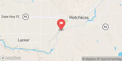
River conditions sourced from USGS 09132500, the North Fork Gunnison River Near Somerset
Remember only watercraft are permitted
at Gunnison Gorge.
Run Stats
Status | Runnable |
Class Level | III to IV- |
Elevation | 6,081 ft |
Run Length | 14.0 Mi |
Gradient | 50 FPM |
Streamflow Discharge | 2380 cfs |
Gage Height | 4.0 ft |
Air Temperature | 82° |
River | Gunnison River |
Reporting Streamgage |
North Fork Gunnison River Near Somerset
USGS 09132500 |
Chukar Rapid
Class III |
One Miler
Class III |
Improvise Rapid
Class III |
Upper Pucker Rapid
Class II+ to III+ |
Lower Pucker Rapid
Class II+ to III+ |
Buttermilk Rapid
Class III to III+ |
Red Canyon Rapid
Class III to IV- |
Boulder Garden Rapid
Class III to IV |
Paddle Keeper Rapid
Class III to III+ |
T-Dyke Rapid
Class II+ to III |
S-Turn
Class III to III+ |
The Squeeze Rapids
Class III to IV- |
The Three Drops Rapid
Class V- to V+ |
Cable Rapid
Class III to IV |
Jumpin’ Jack Splash
Class III to III+ |
Gate Keeper
Class III to III+ |
Grand Finale
Class II+ to III |
Gauge | Streamflow | Stage |
---|---|---|
North Fk Gunnison River Above Mouth Nr Lazear
USGS 09136100 |
2,440 cfs | 5.7 ft |
Gunnison River At Delta
USGS 09144250 |
4,220 cfs | 4.9 ft |
Smith Fork Near Lazear
USGS 09129600 |
3 cfs | 4.5 ft |
South Fork San Miguel River Near Ophir
USGS 09171310 |
151 cfs | 2.3 ft |
North Fork Gunnison River Near Somerset
USGS 09132500 |
2,380 cfs | 4.0 ft |
Mineral Creek At Silverton
USGS 09359010 |
632 cfs | 2.4 ft |
Muddy Creek At Bardine
USGS 09131500 |
404 cfs | 5.2 ft |
Roaring Fork River Near Emma
USGS 09081000 |
1,400 cfs | 7.1 ft |
Uncompahgre River Below Ridgway Reservoir
USGS 09147025 |
216 cfs | 2.4 ft |
Rio Grande At Thirtymile Bridge
USGS 08213500 |
739 cfs | 3.2 ft |
Snotel Site | Snowpack | 24hr Change |
---|
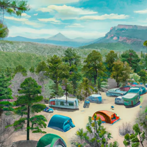
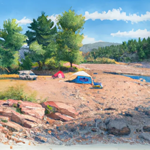
Campground | Campsites | Reservations | Toilets | Showers | Elevation |
---|---|---|---|---|---|
Ridgway State Park | 283 | 7,062 ft | |||
East Portal - Curecanti National Rec Area | 15 | 6,557 ft | |||
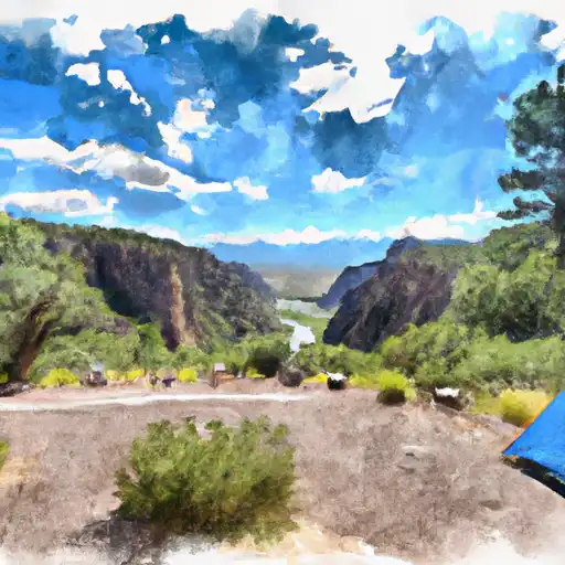
Cimarron - Curecanti National Rec Area | 22 | 6,906 ft | |||
Beaver Lake | 11 | 8,750 ft | |||
Big Cimarron | 10 | 8,667 ft | |||
North Rim - Gunnison National Park | 13 | 7,752 ft | |||
Crawford State Park | 44 | 6,560 ft | |||
Silver Jack | 60 | 9,117 ft | |||
South Rim - Gunnison National Park | 88 | 8,365 ft |
Ski Area | Snowpack | Air Temperature | 5 Day Forecast |
---|---|---|---|
Silverton Mountain | 52" | 57° | 1.59" |
Telluride | 17" | 58° | 1.55" |
Kendall Mountain | 17" | 58° | 1.55" |
River Run | Streamflow | Length | Class |
---|---|---|---|
Gunnison Gorge | 1030.0cfs | 14.0 Mi | III to IV- |
South Mineral Creek | 80.7cfs | 0.5 Mi | V to V+ |