Make an Announcement

Communicate warnings, disperse advice, and share.


NORTHGATE CANYON

Whitewater River Run


Colorado North Platte River

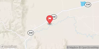
Northgate Canyon

Class III- TO III+

STREAMFLOW: 2,080 CFS

Runnable
69°, Mostly Sunny Then Chance T-Storms

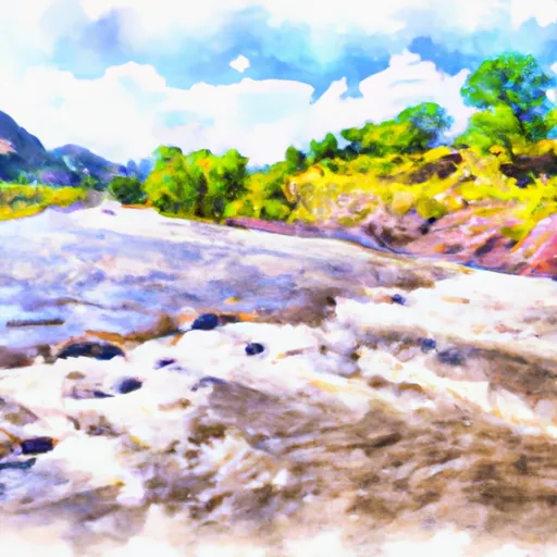
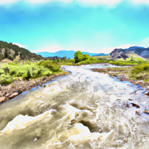
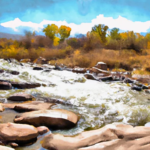
Northgate Canyon River Run in Colorado is a thrilling Class III and IV river run that is best tackled in the late spring and early summer, when water levels are at their highest. The rapids are intense, with steep drops, tight chutes, and large waves that will keep experienced paddlers on their toes. Specific river obstacles include the "Four Mile" rapid, which features a large hole that can easily flip boats, and the "Sledgehammer" rapid, which requires precision steering to avoid large rocks. With a recommended flow of 800-1200 CFS, this river run is not for beginners, but offers a thrilling experience for those looking for a challenge.

Weather today, A 30 percent chance of showers and thunderstorms after noon. Partly sunny, with a high near 69. South southeast wind 6 to 10 mph becoming northwest in the afternoon. Winds could gust as high as 16 mph.

Status Runnable
Class Level III- to III+
Elevation 7,823 ft
Run Length 9.8 Mi
Gradient 20 FPM
Streamflow Discharge 2080 cfs
Gauge Height 5.0 ft
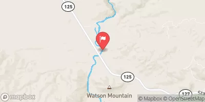
Reporting Streamgage North Platte River Near Northgate
USGS 06620000

Nearby Snowpack and Streamflow Levels

Gauge Streamflow Stage
Encampment River Ab Hog Park Cr
USGS 06623800
832 cfs 4.2 ft
North Platte River Near Northgate
USGS 06620000
2,080 cfs 5.0 ft
Michigan River At Walden
USGS 06617100
314 cfs 3.1 ft
Sand Creek At Colorado-Wyoming State Line
USGS 06659580
3 cfs 0.5 ft
Pioneer Canal Near Woods
USGS 06659501
174 cfs 1.6 ft
Jack Creek Above Coyote Draw
USGS 06627800
133 cfs 4.7 ft
Pass Creek Near Elk Mountain
USGS 06628900
149 cfs 5.9 ft
Laramie R Bl Pioneer Canal Nr Woods Landing
USGS 06659502
1,010 cfs 3.2 ft
Laramie River Near Glendevey
USGS 06657500
720 cfs 3.1 ft
Rock Creek Ab King Canyon Canal
USGS 06632400
508 cfs 2.8 ft
Snotel Site Snowpack 24hr Change
Never Summer
SNOTEL 1031
20" -2"
Tower
SNOTEL 825
44" -1"
Lost Dog
SNOTEL 940
132" -1"
Hoosier Pass
SNOTEL 531
8" 0"
Webber Springs
SNOTEL 852
1" -1"
Med Bow
SNOTEL 1196
41" -2"
North French Creek
SNOTEL 668
13" -4"
Whiskey Park
SNOTEL 859
1" 0"
Arapaho Ridge
SNOTEL 1030
19" -3"
Lake Irene
SNOTEL 565
1" -6"
Fremont Pass
SNOTEL 485
21" -1"
Blackhall Mtn
SNOTEL 1119
4" -1"
Rabbit Ears
SNOTEL 709
1" 0"
Fool Creek
SNOTEL 1186
12" -3"
Mccoy Park
SNOTEL 1040
3" 0"
Old Battle
SNOTEL 673
58" -2"
Elk River
SNOTEL 467
1" 0"
Elliot Ridge
SNOTEL 1120
2" 1"
Loveland Basin
SNOTEL 602
7" -2"
Buckskin Joe
SNOTEL 938
1" 0"
Laprele Creek
SNOTEL 571
1" 0"
Zirkel
SNOTEL 1033
2" 0"
Berthoud Summit
SNOTEL 335
11" -4"

Popular Destinations

Campground Campsites Reservations Toilets Showers Elevation
Silver Lake 17 10,464 ft
Lincoln Park 12 8,102 ft
Pickaroon 8 7,420 ft
North Sand Hills - Kremmling RMA None 8,622 ft
Pike Pole 6 7,565 ft
Holmes 13 9,598 ft
Rob Roy 65 9,519 ft
Hidden Lakes 9 8,872 ft
Big Creek Lakes 54 9,007 ft
Bobbie Thomson 16 8,721 ft
South Brush Creek 20 8,355 ft
Teal Lake 17 8,827 ft
Bennett Peak 11 7,137 ft
Grizzly Creek 12 8,510 ft
Brooklyn Lake 19 10,577 ft
Ryan Park 49 8,438 ft
Nash Fork 27 10,164 ft
Pelton Creek 16 8,240 ft
Bow River 13 8,596 ft
Deep Creek 12 10,069 ft
Sugarloaf 16 10,764 ft
Six Mile 9 7,890 ft
Ski Area Snowpack Air Temperature 5 Day Forecast
Snowy Range 0" 55° 0"
Steamboat Ski Resort 0" 67° 0"
Howelsen Hill Ski Area 0" 67° 0"
River Run Streamflow Length Class
Upper Blue (Blue River CG to Columbine Landing) 878.0cfs 3.0 Mi III to IV-
Lower Blue (Green Mountain to Spring Creek) 456.0cfs 3.8 Mi II+ to III
Pumphouse 2530.0cfs 14.0 Mi II- to III+
State Bridge to Burns 2530.0cfs 20.0 Mi I to II+
Northgate Canyon 2080.0cfs 9.8 Mi III- to III+
State Bridge to Two Bridges 2530.0cfs 4.8 Mi I to II+
Lower Blue (Green Mountain to Spring Creek) 456.0cfs 3.8 Mi II+ to III
Lower Fish Creek 549.0cfs 2.5 Mi IV+ to V
Gore Canyon 2530.0cfs 9.0 Mi IV to V+

Log Your Visit

When was your last visit to Northgate Canyon?

Add a Photo

How was it? How were conditions?

Rate the paddle


Submit

Leave A Review

Northgate Canyon

Submit

Upload an Image

Northgate Canyon
Login

Need an Account?

Forgot Your Password?

Delete User Account

Welcome to Snoflo


Continue with a free account

Already Have an Account?


Snoflo Premium

Your first week's free. Cancel anytime

Have a Promo Code?


Already Have an Account?

Signup for Basic Access


Welcome to Snoflo


Continue with a free account

Add Snoflo Premium


Already Have an Account?


Please Verify Your Account

Favorite Limit Reached
Signup for a Free Account

Already Have an Account?