

Freeze Warning
2026-05-07T09:00:00-06:00
2026-05-07T09:00:00-06:00
* WHAT...Sub-freezing temperatures in the mid 20s to lower 30s. * WHERE...Animas River Basin, Four Corners/Upper Dolores River, San Juan River Basin, Central Colorado River Basin, Central Gunnison and Uncompahgre River Basin, and Debeque to Silt Corridor. * WHEN...From midnight Wednesday Night to 9 AM MDT Thursday. * IMPACTS...Frost and freeze conditions could kill crops, other sensitive vegetation and possibly damage unprotected outdoor plumbing.
Summary
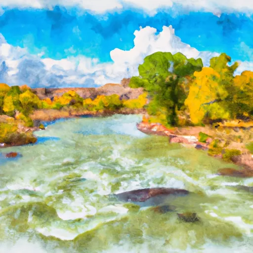
Regional Streamflow Levels
15-Day Long Term Forecast
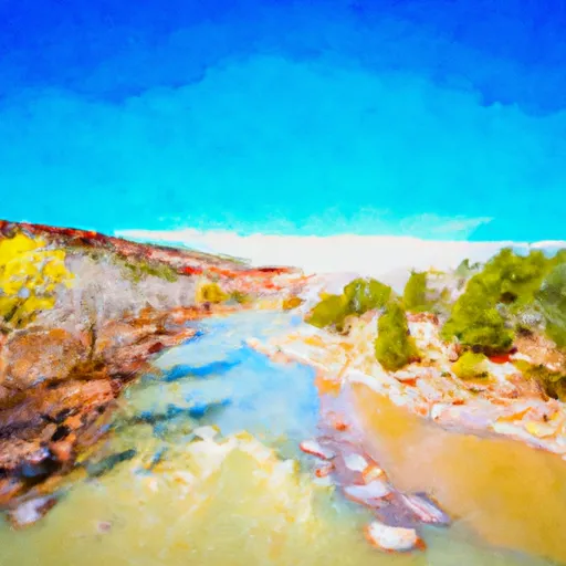
River Run Details
| Last Updated | |
| River Levels | cfs ( ft) |
| Percent of Normal | +100% |
| Status | |
| Class Level | III- to III+ |
| Elevation | ft |
| Run Length | 47.0 Mi |
| Gradient | 10 FPM |
| Streamflow Discharge | cfs |
| Gauge Height | ft |
| Reporting Streamgage | USGS |

5-Day Hourly Forecast Detail
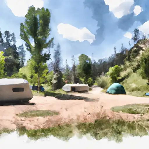
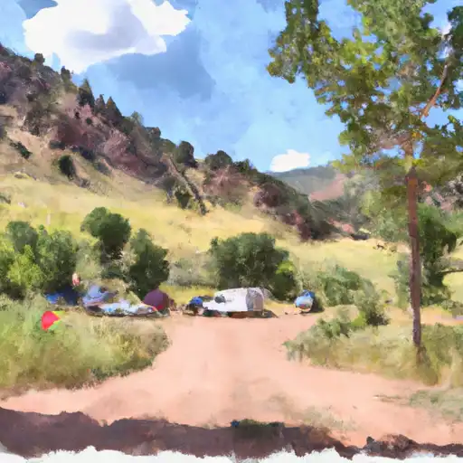
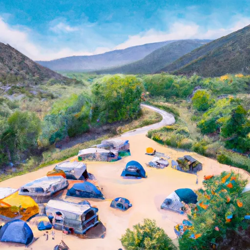
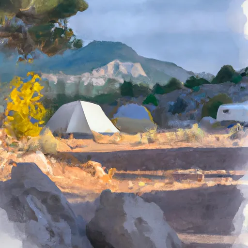
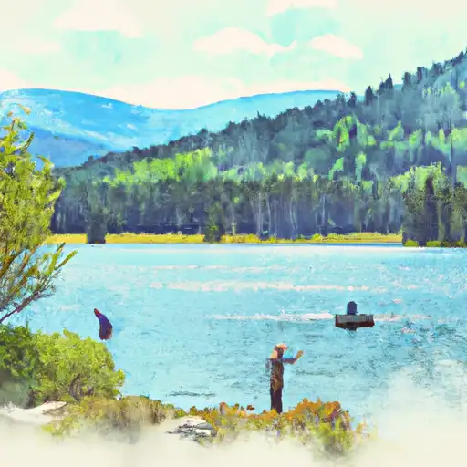
Area Campgrounds
| Location | Reservations | Toilets |
|---|---|---|
 Bradfield Campground
|
||
 Bradfield
|
||
 Cabin Canyon
|
||
 Ferris Canyon
|
||
 Ferris Canyon Campground
|
||
 Mountain Sheep Point Dispersed
|
 County Road S 16951, Dolores County
 Boat Ramp - Aggregate
 Mountain Sheep Point Rec Site
 Dolores Canyon (Bradfield to Slickrock)
 Dolores River - Mcphee To Bedrock Segment In Tres Rios Field Office
 West Section Line Sec 2, T38N, R16W (Below Mcphee Reservoir) To Bradfield Ranch Bridge
 West Dolores---Source To Confluence With Mainstem
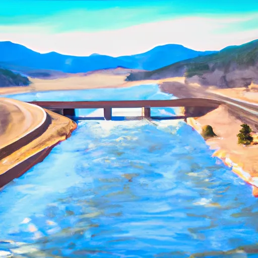
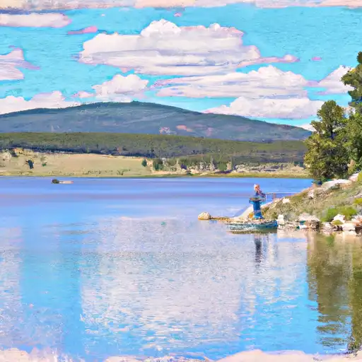
 McPhee Reservoir
 Totten Lake
 Denny Lake
 Puett Reservoir
 Summit Reservoir