Summary
The ideal streamflow range for this section is between 800-1,200 cfs. The river is rated as a Class I-III, making it suitable for both beginner and intermediate paddlers.
The segment mileage of this run is approximately 26 miles, and it offers a mix of rapids and flatwater sections. The rapids range from Class I to Class III, with obstacles such as rocks, trees, and narrow channels. Some of the most notable rapids on this section include Bull Sluice, Woodall Shoals, and Thrasher Rapid.
As for regulations, the area is managed by the Chattahoochee-Oconee National Forest and the Okefenokee National Wildlife Refuge. A valid fishing or hunting license is required for those engaging in those activities on the river. Additionally, boaters must follow all state and federal regulations regarding safety equipment, including life jackets and sound-producing devices.
In summary, the Whitewater River Run offers a diverse and challenging paddling experience for beginner and intermediate paddlers. With a range of rapids and flatwater sections, this section of river is ideal for those looking to hone their skills and enjoy the beauty of the surrounding wilderness. Proper safety equipment and adherence to regulations are necessary to ensure a safe and enjoyable experience.
°F
°F
mph
Wind
%
Humidity
15-Day Weather Outlook
River Run Details
| Last Updated | 2026-02-07 |
| River Levels | 11 cfs (5.01 ft) |
| Percent of Normal | 1% |
| Status | |
| Class Level | i-iii |
| Elevation | ft |
| Run Length | 31.0 Mi |
| Streamflow Discharge | cfs |
| Gauge Height | ft |
| Reporting Streamgage | USGS 02228500 |


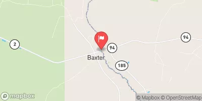
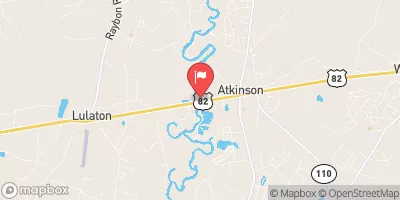
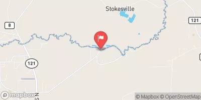


 Bill Johnson Road 2378, Hilliard
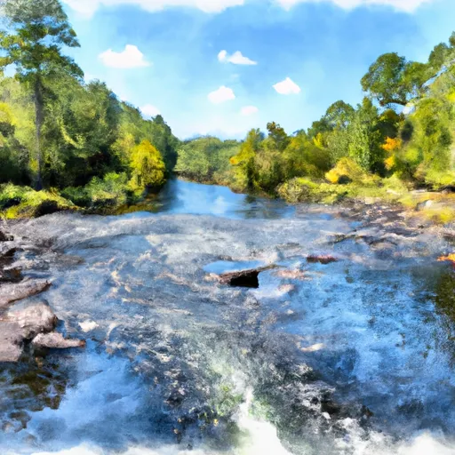 Begins Approximately 1 Mile Upstream Of Flea Hill, Georgia To The Bells River Confluence
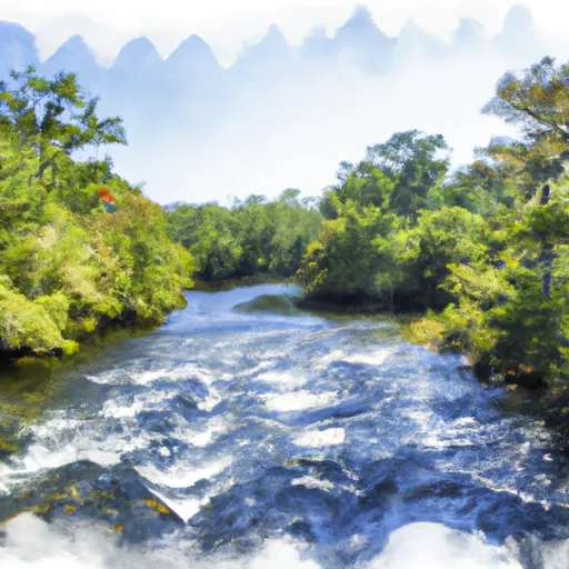 Begins Approximately 1 Mile Downstream Of U.S. 301 Crossing To Ends Approximately 1 Mile Upstream Of Flea Hill, Georgia
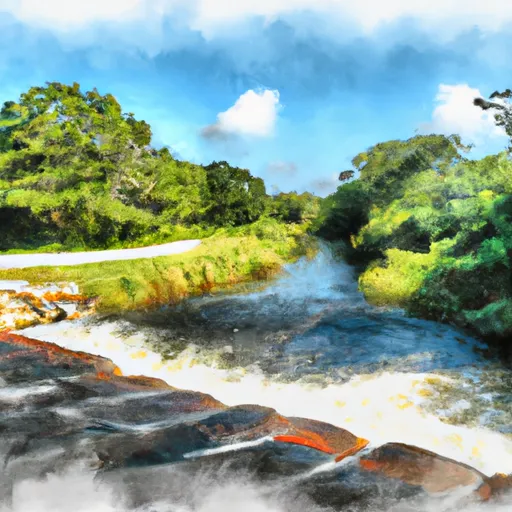 Trader'S Hill To Ends Approximately 1 Mile Downstream Of U.S. 301 Crossing
 Ralph E Simmons Memorial Wildlife Management Area
 Stein Tompkins Sports Complex
 Kingsland Lions Park