Summary
The ideal streamflow range for this run is between 500-1500 cubic feet per second (cfs), which is perfect for intermediate paddlers who are looking for a thrilling experience.
The class rating for this section of the Whitewater River ranges from Class II to Class III, with some difficult rapids and obstacles. The segment mileage of this river run is relatively short and can be completed in a few hours, making it a popular destination for day trips.
Some notable rapids and obstacles on the Whitewater River Run include the "S-Turn" rapid, the "Peanut Butter and Jelly" rapid, and the "Cypress Tree" obstacle. These obstacles can be challenging for inexperienced paddlers, so it's essential to have proper training and equipment before navigating this river.
Several regulations govern the Whitewater River Run, including the need for a permit to access the area. Additionally, the use of alcohol and drugs is strictly prohibited, and littering is also prohibited. It's essential to follow these regulations to ensure the safety of all visitors and maintain the natural beauty of the area.
Overall, the Whitewater River Run in Georgia offers a thrilling experience for intermediate paddlers, with some challenging rapids and obstacles to navigate. It's important to follow the regulations and have proper training and equipment before venturing out on this river.
°F
°F
mph
Wind
%
Humidity
15-Day Weather Outlook
River Run Details
| Last Updated | 2026-02-07 |
| River Levels | 66 cfs (1.74 ft) |
| Percent of Normal | 39% |
| Status | |
| Class Level | ii-iii |
| Elevation | ft |
| Streamflow Discharge | cfs |
| Gauge Height | ft |
| Reporting Streamgage | USGS 02221525 |
5-Day Hourly Forecast Detail
Nearby Streamflow Levels
 Ocmulgee River Near Jackson
|
1300cfs |
 Falling Creek Near Juliette
|
52cfs |
 Murder Creek Below Eatonton
|
98cfs |
 Alcovy River Below Covington
|
213cfs |
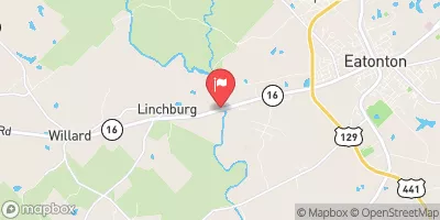 Little River Near Eatonton
|
169cfs |
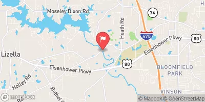 Tobesofkee Creek Near Macon
|
9cfs |
Area Campgrounds
| Location | Reservations | Toilets |
|---|---|---|
 Gladesville Campground
|
||
 Rush Creek Campground
|
||
 Indian Springs State Park
|
||
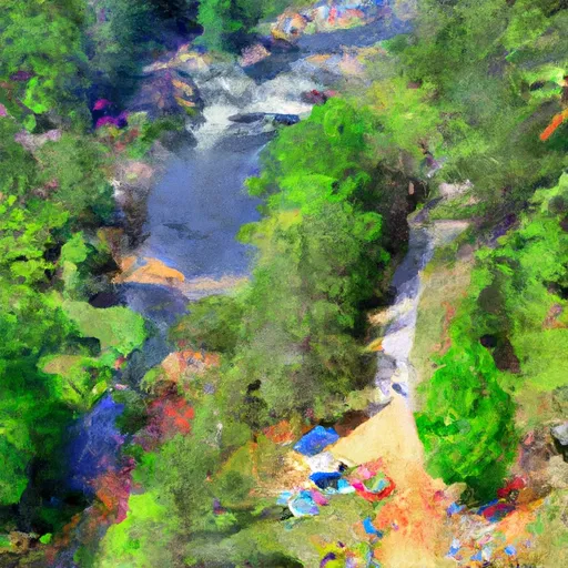 High Falls State Park
|


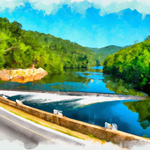 Georgia State Highway 16 To East Juliette Dam
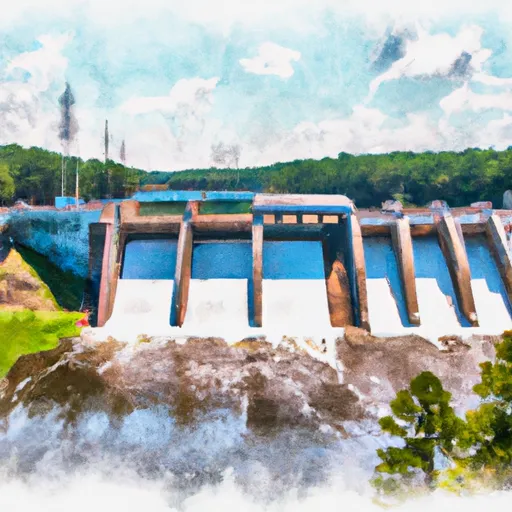 Lloyd Shoals Dam On Lake Jackson To Georgia State Highway 16