Summary
The ideal streamflow range for this river is between 200 and 300 cubic feet per second (cfs), which can offer participants an exciting yet safe experience.
The class rating of this river run varies from Class II to Class IV, depending on the segment. The total segment mileage of the Whitewater River Run is approximately 6.2 miles, making it a relatively short yet exhilarating experience. The rapids and obstacles on this river include drops, chutes, and waves that provide a thrilling experience for those who love adventure.
To ensure the safety of participants, specific regulations have been put in place in the area. Kayakers and rafters are required to wear helmets and life jackets at all times while on the river. Additionally, they must adhere to speed limits and avoid disturbing the natural habitat of the river. Participants should also be aware of the potential hazards that may arise due to weather conditions, such as flash floods and strong currents.
In conclusion, the Whitewater River Run at the Headwaters and Includes all of its tributaries to Confluence with Kawainui Stream is a thrilling experience for kayaking and rafting enthusiasts. With its ideal streamflow range, class rating, segment mileage, specific river rapids/obstacles, and regulations, participants can enjoy a safe and exciting adventure on the water.
°F
°F
mph
Wind
%
Humidity
15-Day Weather Outlook
River Run Details
| Last Updated | 2026-01-26 |
| River Levels | 5 cfs (1.72 ft) |
| Percent of Normal | 26% |
| Status | |
| Class Level | ii-iv |
| Elevation | ft |
| Run Length | 1.0 Mi |
| Streamflow Discharge | cfs |
| Gauge Height | ft |
| Reporting Streamgage | USGS 16400000 |


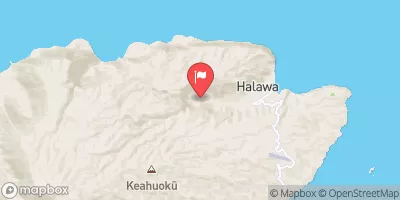
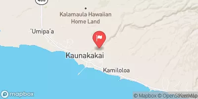
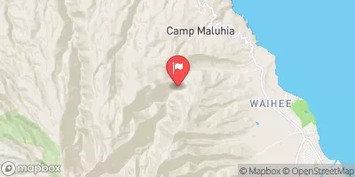
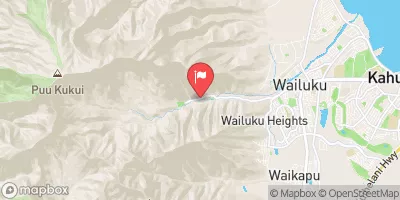
 Headwaters And Includes All Tributaries To Confluence With Kawainui Stream
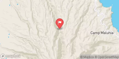
 Headwaters And Includes All Tributaries To Confluence With Pelekunu Stream
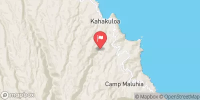
 Headwaters To Mouth At Pelekunu Bay