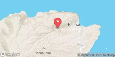
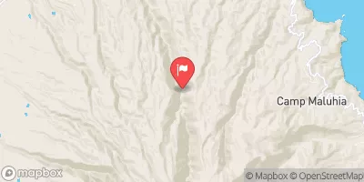
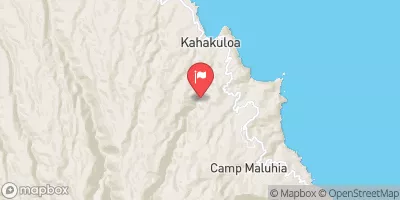
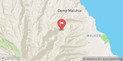
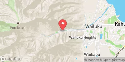
HEADWATERS TO MOUTH AT PELEKUNU BAY

RIVER RUNS
2024-10-29
258 ft 21.13, -156.88

High Surf Warning
2024-12-23T06:00:00-10:00

...HIGH SURF WARNING FOR NORTH AND WEST FACING SHORES OF NIIHAU KAUAI OAHU MOLOKAI AND NORTH FACING SHORES OF MAUI... ...HIGH SURF WARNING FOR WEST FACING SHORES OF THE BIG ISLAND... ...HIGH SURF ADVISORY FOR NORTH FACING SHORES OF THE BIG ISLAND... .An extended period of hazardous surf and beach conditions will persist through Sunday night along exposed north and west facing shores due to overlapping, winter-caliber northwest swells (315-330 degrees). The current swell will be on a slow decline tonight, but the largest swell in the recent series is expected to arrive in the predawn hours, rapidly rise and peak through the day Sunday, and then gradually ease Sunday night and Monday. * WHAT...Surf of 22 to 35 feet tonight, building to 40 to 50 feet Sunday along north facing shores of Niihau, Kauai, Oahu, Molokai and Maui. Surf of 12 to 20 feet tonight, building to 25 to 35 feet Sunday along west facing shores of Niihau, Kauai, Oahu, and Molokai. Surf of 6 to 10 feet tonight, building to 8 to 12 feet along west facing shores of the Big Island. * WHERE...North and west facing shores of Niihau, Kauai, Oahu, and Molokai, north facing shores of Maui, and west facing shores of the Big Island. * WHEN...Until 6 AM HST Monday, with a peak expected through the day Sunday. The best chance for coastal impacts to properties and roadways will be during the peak daily high tides through the early morning hours. * IMPACTS...Very High...Expect ocean water surging and sweeping across beaches, coastal benches, and lava flows creating the potential for impacts to coastal properties and infrastructure, including roadways. Powerful longshore and rip currents will be present at most beaches. Large breaking waves and strong currents may impact harbor entrances and channels causing challenging boat handling.


°F

°F

mph

Windspeed

%

Humidity

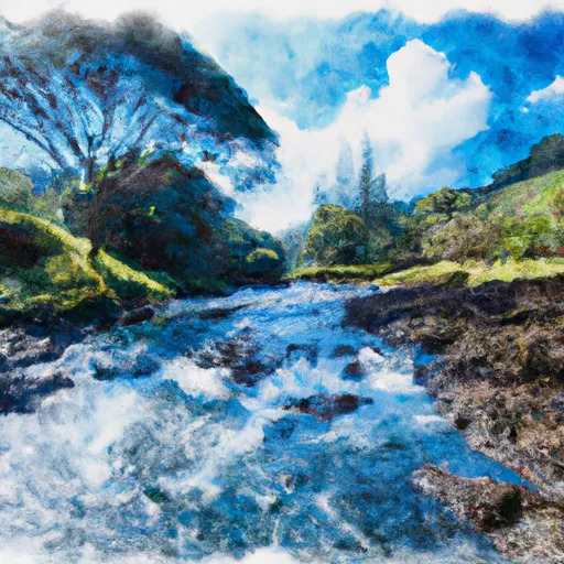
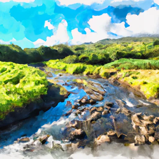
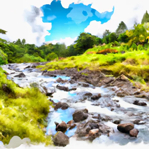
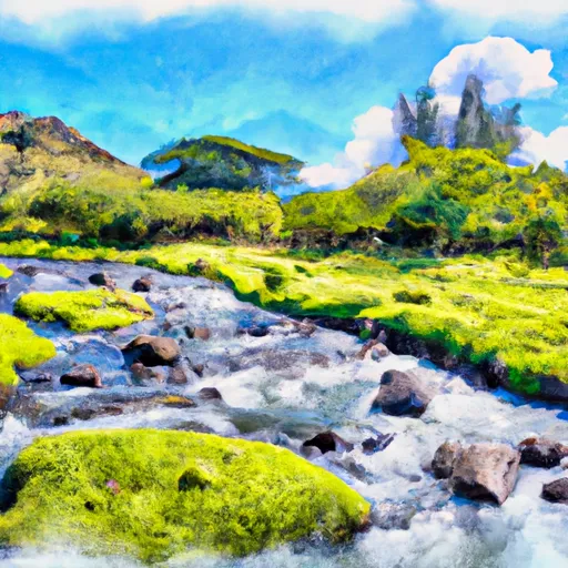
The Whitewater River Run from Headwaters to Mouth at Pelekunu Bay in Hawaii is a thrilling adventure for experienced paddlers. The ideal streamflow range for this run is between 200-500 cfs, which can increase to 700 cfs during heavy rain. This run is rated as Class IV-V, and covers approximately 7 miles of the river with a total drop of 1,500 feet.

The segment from the headwaters to the halfway point is the most challenging, with several Class V rapids including "Jaws" and "Pinball". Paddlers must carefully navigate through technical drops, narrow chutes, and steep boulder gardens. The second half of the run is less intense, with mostly Class III-IV rapids and scenic stretches of the river.

There are specific regulations for this area, including a permit requirement from the Department of Land and Natural Resources, and a limit of six paddlers per group. In addition, all paddlers must wear helmets and personal flotation devices. It is also important to be aware of the potential for flash flooding and the risk of falling rocks.

Overall, the Whitewater River Run is a challenging and exhilarating adventure for experienced paddlers seeking a thrilling whitewater experience. However, it is important to follow all regulations and safety precautions to ensure a safe and enjoyable trip.

Last Updated 2024-10-29
River Levels 5 cfs (1.72 ft)
Percent of Normal 64%
Status
Class Level iv-v
Elevation ft
Run Length 2.0 Mi
Streamflow Discharge cfs
Gauge Height ft
Reporting Streamgage USGS 16400000

Weather Forecast

View more

Boat Launches

Featured Destination

Iao Valley State Monument

Iao Valley State Monument is a popular tourist destination located in the state of Hawaii. It is situated in the West Maui Mountains and is known for its lush greenery, beautiful waterfalls, and historical significance. There are several reasons to visit the monument, including hiking, picnicking, and sightseeing. One of the main points of interest in the Iao Valley State ...
       

Get Unparalelled Insights

Explore the 3D Map

Whether you're planning your next ski trip or tracking stream flows for an upcoming rafting expedition, our map has it all.