Summary
Regional Streamflow Levels
 Snake River Bl Flat Creek Nr Jackson Wy
|
4840cfs |
 Cache Creek Near Jackson
|
18cfs |
 Flat Creek Bel Cache Creek
|
120cfs |
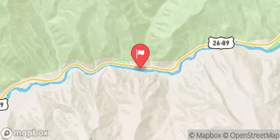 Snake River Ab Reservoir Nr Alpine Wy
|
6210cfs |
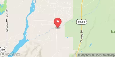 Gros Ventre River At Zenith Wy
|
516cfs |
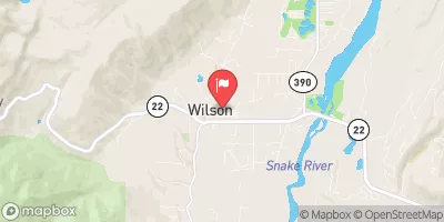 Fish Creek At Wilson
|
203cfs |
15-Day Long Term Forecast
River Run Details
| Last Updated | |
| River Levels | cfs ( ft) |
| Percent of Normal | +100% |
| Status | |
| Class Level | II to III+ |
| Elevation | ft |
| Run Length | 13.1 Mi |
| Gradient | 30 FPM |
| Streamflow Discharge | cfs |
| Gauge Height | ft |
| Reporting Streamgage | USGS |
5-Day Hourly Forecast Detail
Area Campgrounds
| Location | Reservations | Toilets |
|---|---|---|
 Kozy Campground
|
||
 Kozy
Kozy
|
||
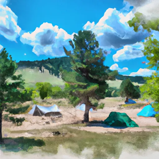
 Hoback Campground
|
||
 Hoback Camping
|
||
 Hoback
|
||
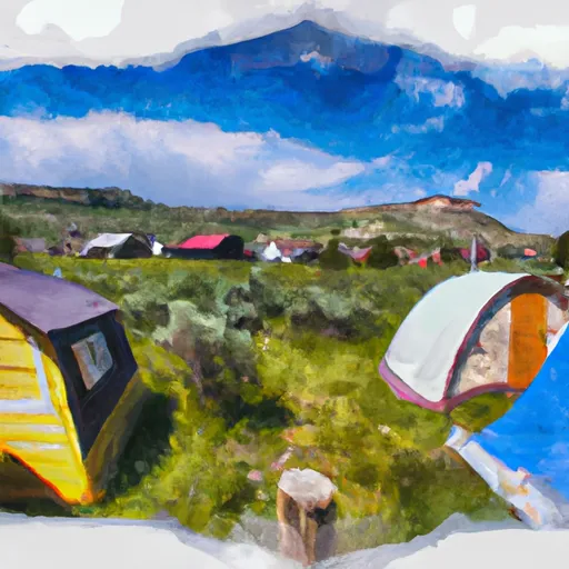 Black Powder Cabins and Camping
|


 King's Wave Kayak Access
 Hoback Canyon
 Granite Creek
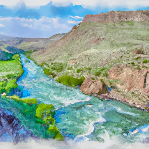 Cliff Creek Confluence To Snake River Confluence
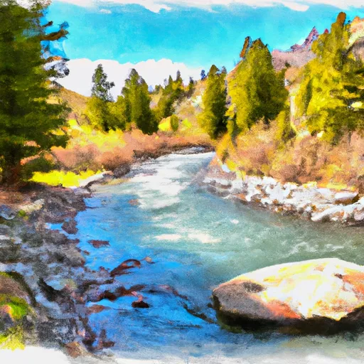 Source To Cliff Creek Trailhead
 1st Gorge Lime
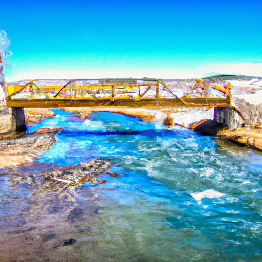 South Park Bridge To 1 Mile Downstream From Astoria Hot Springs (North Section Line Of Sec 5, T38N, R116W)
 Wayne May Park
 Mike Yokel Park
 Phil Baux Park
 Mateosky Park
 George Washington Memorial Park
 Pritchard Boating Site
 Elbow Boating Site
 Palisades Reservoir
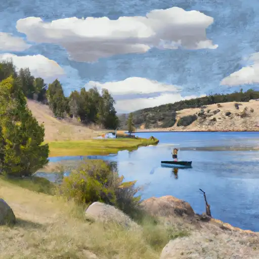 New Fork Lake
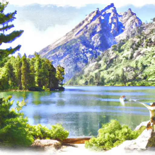 Jenny Lake
 Continue with Snoflo Premium