2026-02-18T15:00:00-08:00
* WHAT...Snow. Additional snow accumulations of 3 to 6 inches. * WHERE...Grande Ronde Valley, Southern Blue Mountains of Oregon, and Wallowa County. * WHEN...Until 3 PM PST Wednesday. * IMPACTS...Travel could be difficult due to periods of moderate to heavy snow.
The Northern Boundary Of The Wallowa-Whitman National Forest To The Confluence With The Grande Ronde River Paddle Report
Last Updated: 2026-02-07
The Whitewater River run begins at the northern boundary of the Wallowa-Whitman National Forest and runs until it reaches the confluence with the Grande Ronde River in Idaho.
Summary
The ideal streamflow range for this run is between 1,500 and 3,000 cubic feet per second (cfs). This range provides a good balance between navigability and excitement on the rapids.
The class rating for this run varies depending on the section being navigated. The upper section is considered class IV and V, while the lower section is rated as class III and IV. The total distance of this run is roughly 15 miles.
There are several notable rapids and obstacles along the way, including "Jaws of Death," "Widowmaker," and "Screaming Right Turn." These rapids require a high level of skill and experience to navigate safely.
Specific regulations for this area include a permit system, which limits the number of visitors to the river each day. Additionally, all boaters are required to wear personal flotation devices (PFDs) at all times while on the river.
°F
°F
mph
Wind
%
Humidity
15-Day Weather Outlook
River Run Details
| Last Updated | 2026-02-07 |
| River Levels | 55500 cfs (14.03 ft) |
| Percent of Normal | 83% |
| Status | |
| Class Level | iv-iii |
| Elevation | ft |
| Run Length | 7.0 Mi |
| Streamflow Discharge | cfs |
| Gauge Height | ft |
| Reporting Streamgage | USGS 13317660 |
5-Day Hourly Forecast Detail
Nearby Streamflow Levels
 Snake River Bl Mcduff Rapids At China Gardens
|
16400cfs |
 Snake River Near Anatone
|
18700cfs |
 Webb Creek Near Sweetwater Id
|
-999999cfs |
 Asotin Creek At Asotin
|
89cfs |
 Grande Ronde River At Troy
|
1890cfs |
 Asotin Creek Below Confluence Near Asotin
|
54cfs |
Area Campgrounds
River Runs
-
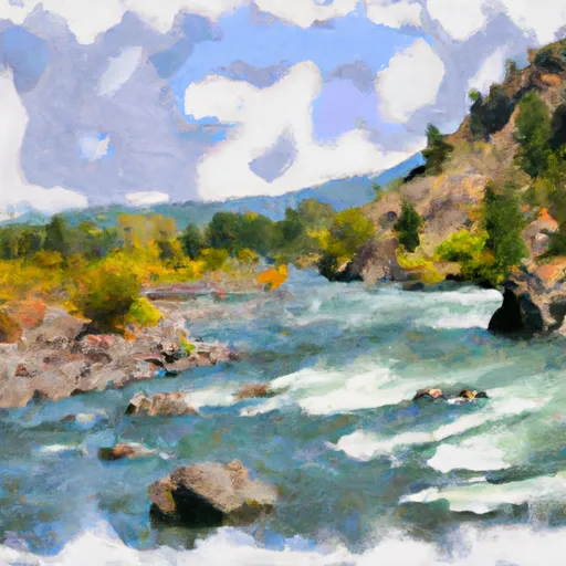 The Northern Boundary Of The Wallowa-Whitman National Forest To The Confluence With The Grande Ronde River
-
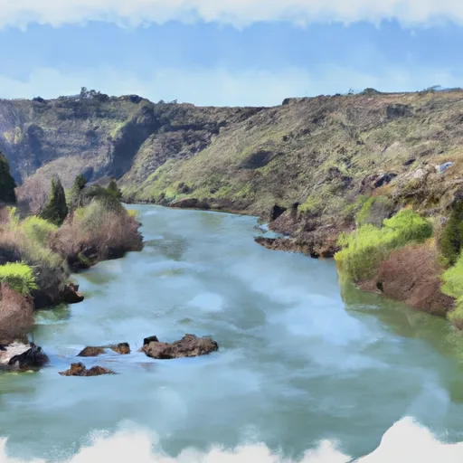 Snake River - 4.01
-
 Grande Ronde River (Lower)
-
 The Confluence With The Grande Ronde River
To Ends In The Slack Water Of The Lower Granite Reservoir, Located One Half Mile Above The Town Of Asotin, Washington
-
 Joseph Creek


 China Garden Campsite
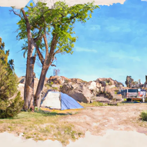 Upper China Garden Campsite
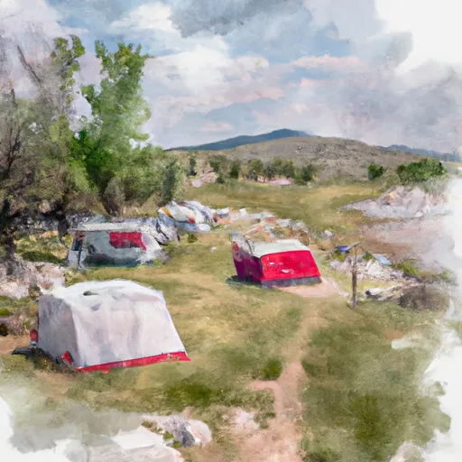 Lower China Garden Campsite
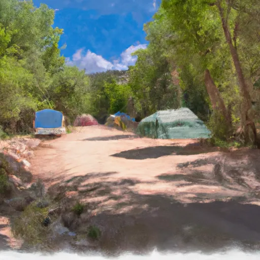 Across Corral Creek Campsite
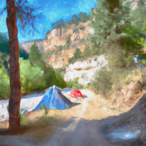 Below Corral Creek Campsite
 Upper Cache Creek Campsite