Summary
It is approximately 15 feet wide and provides access to the Snake River. The ramp is suitable for small boats, canoes, and kayaks. Motorized watercraft are also permitted. However, there are no restrictions on the type of watercraft that can be launched from the ramp. It is important to note that the accessibility of the ramp may vary depending on water levels and weather conditions. Users should always exercise caution and check local advisories before launching their watercraft.
Nearby Boat Launches
Weather Forecast
Area Streamflow Levels
| SNAKE RIVER NEAR ANATONE | 26500cfs |
| SNAKE RIVER BL MCDUFF RAPIDS AT CHINA GARDENS | 24100cfs |
| ASOTIN CREEK AT ASOTIN | 98cfs |
| WEBB CREEK NEAR SWEETWATER ID | -999999cfs |
| ASOTIN CREEK BELOW CONFLUENCE NEAR ASOTIN | 54cfs |
| GRANDE RONDE RIVER AT TROY | 3600cfs |
River Runs
-
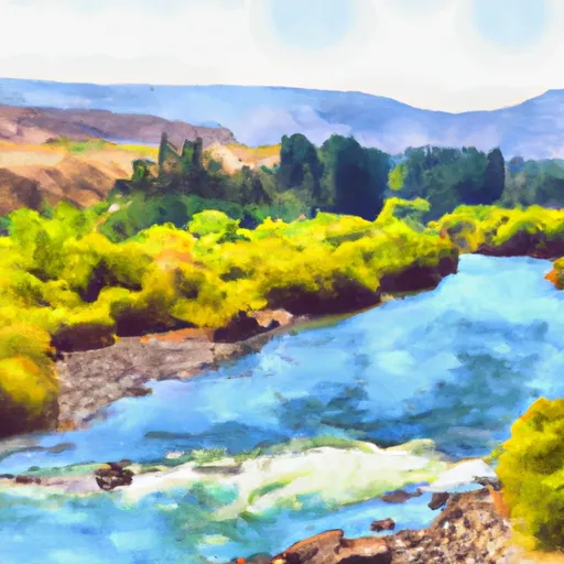 Grande Ronde River (Lower)
-
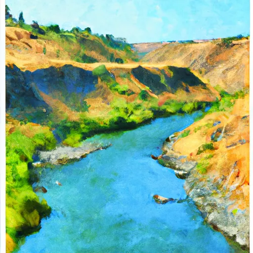 The Confluence With The Grande Ronde River
To Ends In The Slack Water Of The Lower Granite Reservoir, Located One Half Mile Above The Town Of Asotin, Washington
-
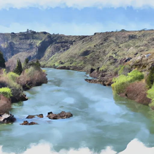 Snake River - 4.01
-
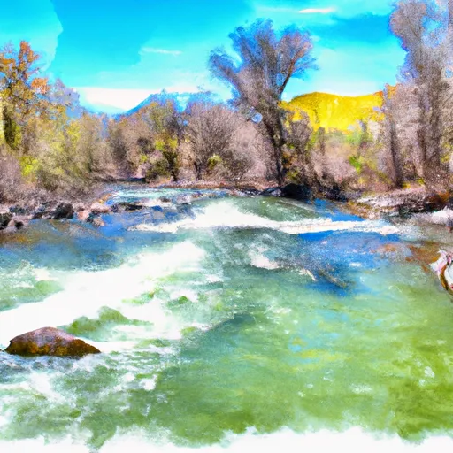 Joseph Creek
-
 The Northern Boundary Of The Wallowa-Whitman National Forest To The Confluence With The Grande Ronde River

 Snake River Road Asotin County