Payette Nf Boundary On Lake Creek (Just West Marshall Lake) To To And Including Chinook Campground Paddle Report
Last Updated: 2026-02-07
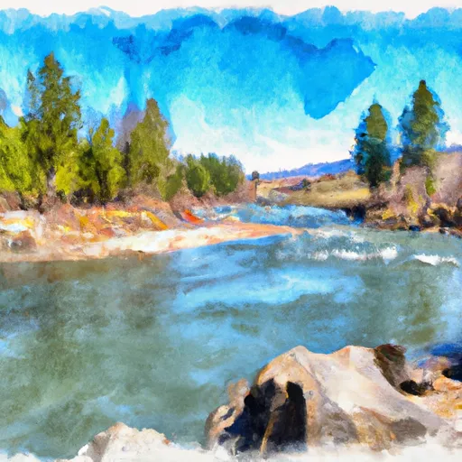
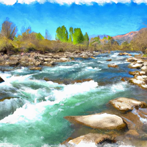
The Payette River is a popular whitewater destination in Idaho, with the segment from the Nf Boundary on Lake Creek to Chinook Campground being a particularly thrilling run.
Summary
The ideal streamflow range for this stretch is between 1,500 and 4,000 cubic feet per second (cfs), with the best time to tackle the rapids being in late spring to early summer.
This section of the Payette River is rated as a Class III-IV run, with a total segment mileage of approximately 15 miles. The river features several challenging rapids, including Staircase, The Notch, and The Sluice Box. These rapids offer significant obstacles and require experienced paddlers to navigate them safely.
There are specific regulations that must be followed when paddling this stretch of the Payette River. All paddlers must wear a personal flotation device (PFD) and helmets at all times while on the river. Additionally, boaters must carry a whistle and a throw bag. There are also restrictions on camping along the riverbank, with designated campsites available at Chinook Campground.
Overall, the Payette River run from Nf Boundary on Lake Creek to Chinook Campground is an exciting and challenging whitewater adventure. Paddlers should be experienced and prepared for the rapids and follow all regulations to ensure a safe and enjoyable trip. Sources used for this information include American Whitewater and Idaho Whitewater.
°F
°F
mph
Wind
%
Humidity
15-Day Weather Outlook
River Run Details
| Last Updated | 2026-02-07 |
| River Levels | 1230 cfs (4.41 ft) |
| Percent of Normal | 113% |
| Status | |
| Class Level | iii-iv |
| Elevation | ft |
| Streamflow Discharge | cfs |
| Gauge Height | ft |
| Reporting Streamgage | USGS 13310700 |
5-Day Hourly Forecast Detail
Nearby Streamflow Levels
Area Campgrounds
| Location | Reservations | Toilets |
|---|---|---|
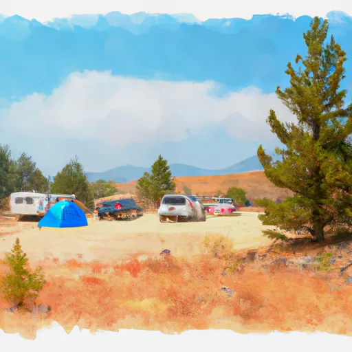 Chinook Campground
|
||
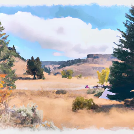 Chinook
|
||
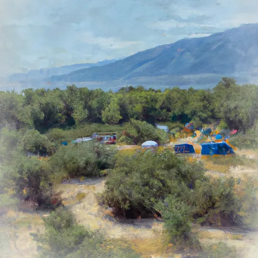 Burgdorf
|
||
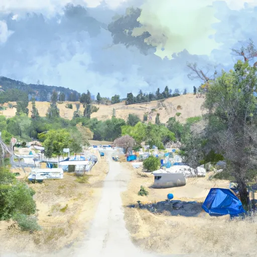 Burgdorf Campground
|
||
 Lake Creek Dispersed Camping Area
|
||
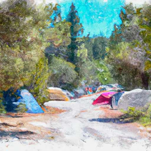 Jeanette Campground
|


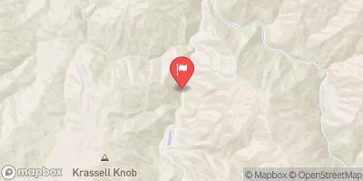
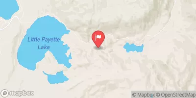
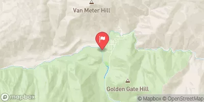
 Payette Nf Boundary On Lake Creek (Just West Marshall Lake) To To And Including Chinook Campground
 Chinook Campground To Ponderosa Campground
 Lake Creek