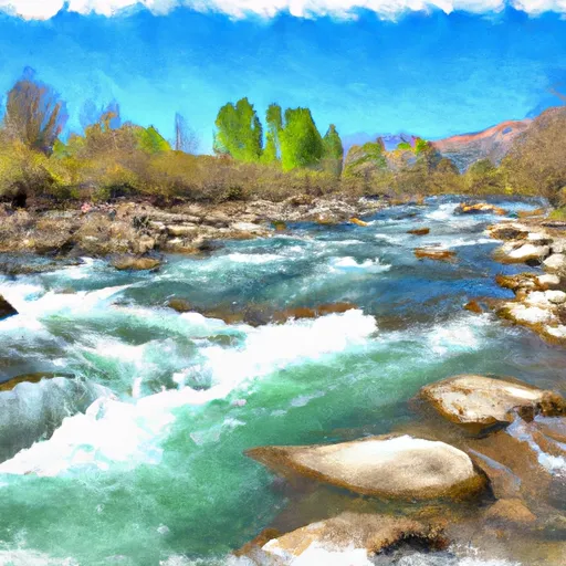
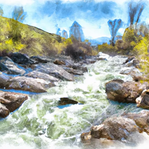
Summary
It is a concrete boat ramp that provides access to the Salmon River, a popular destination for fishing and river rafting in the area.
The Vinegar Creek boat ramp is approximately 14 feet wide, making it suitable for most types of boats, including fishing boats, kayaks, canoes, and river rafts. However, larger boats or those with trailers may have difficulty maneuvering on the narrow ramp.
The Salmon River serviced by the Vinegar Creek boat ramp is known for its wild and scenic beauty, as well as its abundant fish populations. The river is open to a variety of watercraft, including motorized and non-motorized boats, as well as rafts and canoes. However, certain sections of the river may have restrictions on watercraft use depending on the time of year and water levels.
In summary, the Vinegar Creek boat ramp in Idaho is a concrete boat ramp that provides access to the Salmon River. It is approximately 14 feet wide and can accommodate most types of boats, including fishing boats, kayaks, canoes, and river rafts. The Salmon River is open to a variety of watercraft, including motorized and non-motorized boats, as well as rafts and canoes.
°F
°F
mph
Wind
%
Humidity

 Vinegar Creek
 National Forest Development Road 103 Idaho County
 Salmon River
 Lake Creek
 French Creek