Summary
The ideal streamflow range for this run is between 1,500-3,000 cubic feet per second (cfs).
There are several notable rapids and obstacles along this stretch of the river, including China, Eye of the Needle, Elkhorn, Split Rock, and Ruby. China is a class IV rapid with a steep drop and a large hole at the bottom, making it a challenging obstacle for even experienced kayakers. Eye of the Needle is another class IV rapid with a narrow chute and a large boulder in the center that requires precise maneuvering to navigate. Elkhorn is a class III rapid with several large waves and a narrow channel. Split Rock is a class III-IV rapid with a large rock that splits the current, creating two channels that can be challenging to navigate. Ruby is a class III rapid with several large waves and a rock wall on one side.
It is important to note that the Salmon River is managed by the Bureau of Land Management, and there are specific regulations in place to protect the environment and ensure safety. These regulations include a permit system for commercial outfitters, restrictions on camping and fires in certain areas, and a pack-it-out policy for all trash and waste. It is important for all river users to adhere to these regulations to preserve the natural beauty of the area and to ensure a safe and enjoyable experience for all.
°F
°F
mph
Wind
%
Humidity
15-Day Weather Outlook
River Run Details
| Last Updated | 2026-02-07 |
| River Levels | 1230 cfs (4.41 ft) |
| Percent of Normal | 113% |
| Status | |
| Class Level | iii-iv |
| Elevation | ft |
| Streamflow Discharge | cfs |
| Gauge Height | ft |
| Reporting Streamgage | USGS 13310700 |
5-Day Hourly Forecast Detail
Nearby Streamflow Levels
Area Campgrounds
| Location | Reservations | Toilets |
|---|---|---|
 Indian Point Camping Area
|
||
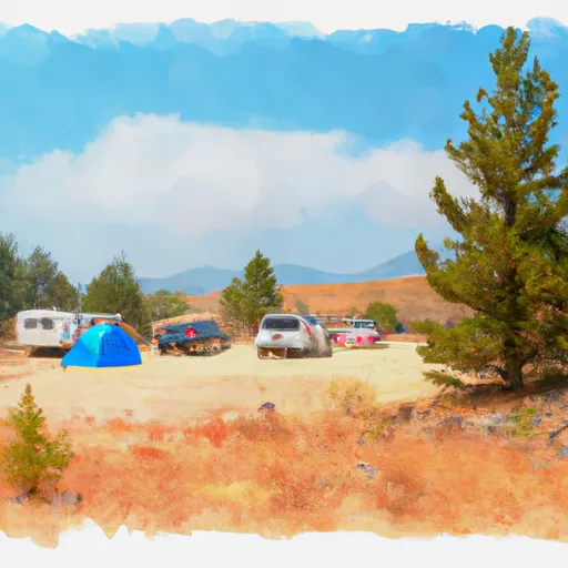 Chinook Campground
|
||
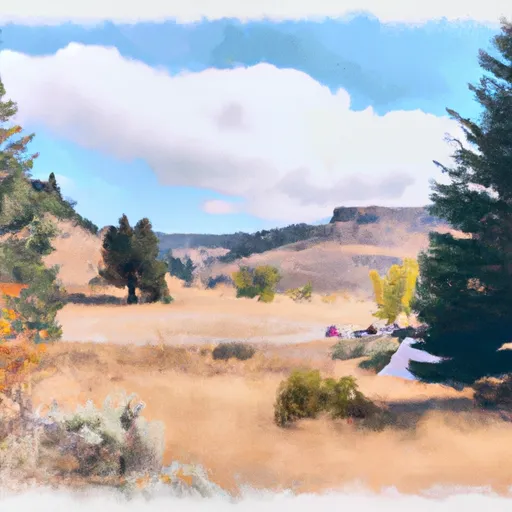 Chinook
|
||
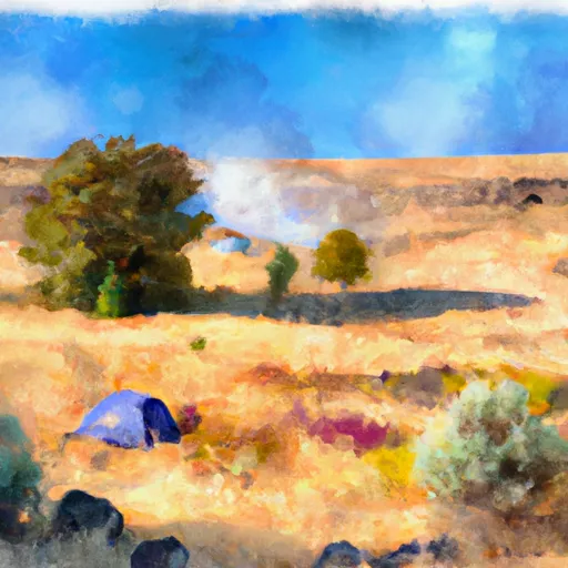 33 Mile Dispersed Camping Area
|
||
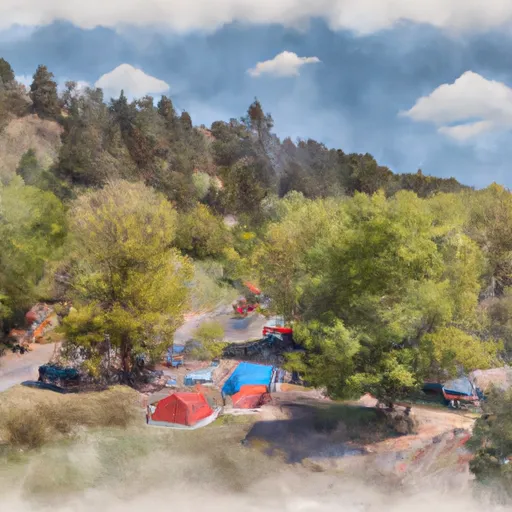 Deadman Bar Campground
|
||
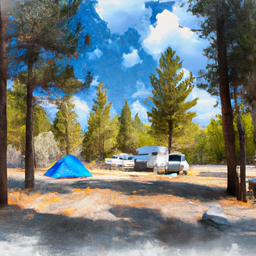 Buckhorn Bar Campground
|


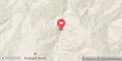
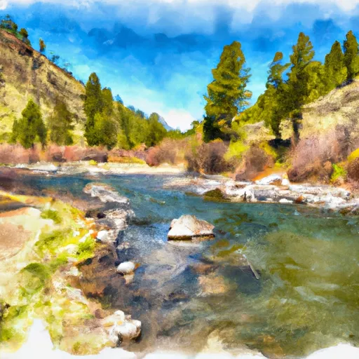
 Chinook Campground To Ponderosa Campground
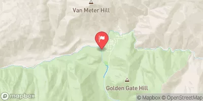
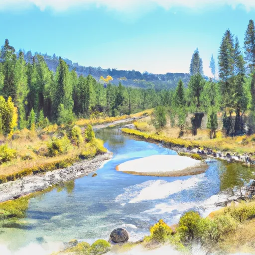
 Ponderosa Campground To Confluence With South Fork Salmon River
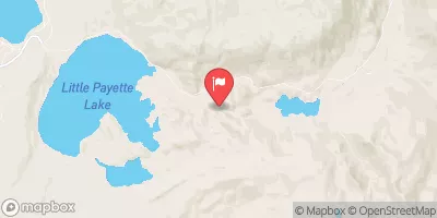
 Payette Nf Boundary On Lake Creek (Just West Marshall Lake) To To And Including Chinook Campground