Confluence With South Fork East Fork Salmon To Confluence With Unnamed Creek In Section 6 Paddle Report
Last Updated: 2026-02-07
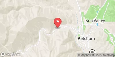
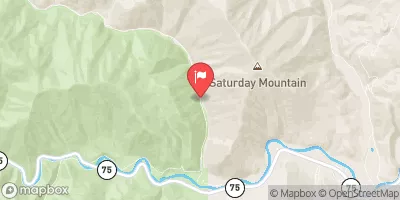
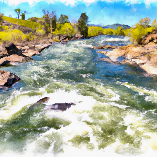
The Whitewater River Run from Confluence with South Fork East Fork Salmon to Confluence with Unnamed Creek in Section 6 in Idaho is a popular destination for whitewater enthusiasts.
Summary
The ideal streamflow range for this section of the river is between 800-2000 cfs. The class rating for this section of the river is III-IV, making it suitable for intermediate to advanced paddlers. The segment mileage for this section of the river is approximately 10.5 miles.
One of the major rapids/obstacles on this section of the river is the Devil's Tooth rapid, which is a Class IV rapid and requires advanced paddling skills to navigate. Other notable rapids include Rapid River Rapids, Marble Creek Rapids, and Butcher Knife Rapids.
There are specific regulations that need to be followed while paddling on this section of the river. For example, all boaters are required to carry a personal flotation device (PFD) at all times. Additionally, all boaters are required to have a permit and follow Leave No Trace principles to minimize the impact on the environment.
Overall, the Whitewater River Run from Confluence with South Fork East Fork Salmon to Confluence with Unnamed Creek in Section 6 in Idaho is a challenging and exciting destination for experienced whitewater enthusiasts. It is important to follow all regulations and guidelines to ensure a safe and enjoyable experience on the river.
°F
°F
mph
Wind
%
Humidity
15-Day Weather Outlook
River Run Details
| Last Updated | 2026-02-07 |
| River Levels | 645 cfs (6.92 ft) |
| Percent of Normal | 111% |
| Status | |
| Class Level | iv |
| Elevation | ft |
| Streamflow Discharge | cfs |
| Gauge Height | ft |
| Reporting Streamgage | USGS 13135500 |
5-Day Hourly Forecast Detail
Nearby Streamflow Levels
Area Campgrounds
| Location | Reservations | Toilets |
|---|---|---|
 Boulder White Clouds
|
||
 Caribou
|
||
 Murdock Campground
|
||
 Murdock
|
||
 Wood River campground
|


 Confluence With South Fork East Fork Salmon To Confluence With Unnamed Creek In Section 6
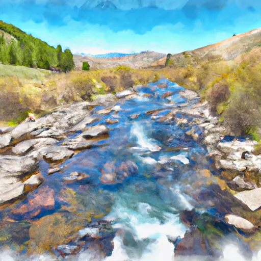 Headwaters To Confluence With East Fork Salmon River
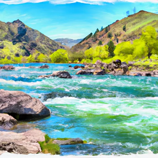 Three Cabins Creek To Confluence With East Fork Salmon River
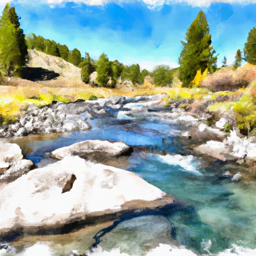 Headwaters To Confluence With Three Cabins Creek