Summary
The ideal streamflow range for this section of the river is between 600 and 2000 cfs. This section of the river is rated class III, which means it has moderate difficulty and requires intermediate paddling skills.
The segment mileage for this river run is approximately 12 miles, which takes around 4-5 hours to complete. The rapids in this section of the river include Garden Creek Rapid, Charlie's Hole, and Devil's Slide. These rapids offer exciting challenges and require skilled maneuvering.
Specific regulations to the area include a permit requirement for commercial outfitters and a maximum group size of 12 people. The use of personal flotation devices (PFDs) is mandatory for all participants, and alcohol is prohibited on the river. Additionally, visitors must adhere to Leave No Trace principles to preserve the natural beauty of the area.
°F
°F
mph
Wind
%
Humidity
15-Day Weather Outlook
River Run Details
| Last Updated | 2026-02-07 |
| River Levels | 4320 cfs (4.34 ft) |
| Percent of Normal | 110% |
| Status | |
| Class Level | iii |
| Elevation | ft |
| Streamflow Discharge | cfs |
| Gauge Height | ft |
| Reporting Streamgage | USGS 13309220 |
5-Day Hourly Forecast Detail
Nearby Streamflow Levels
Area Campgrounds
| Location | Reservations | Toilets |
|---|---|---|
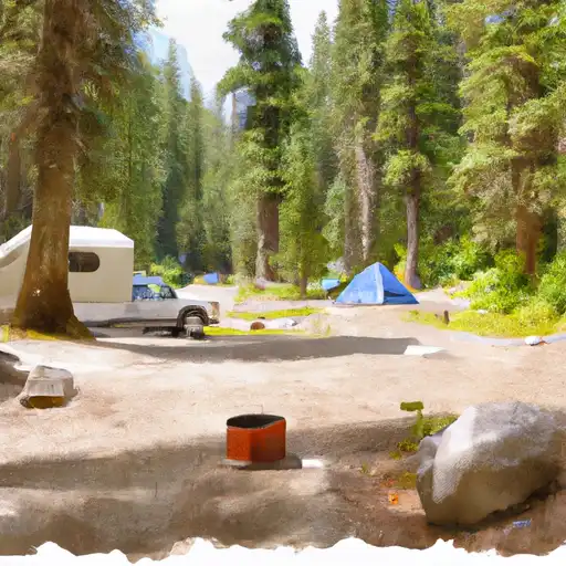 Fir Creek
|
||
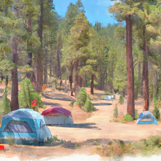 Fir Creek Campground
|
||
 Lola Creek Campground
|
||
 Lola Creek C/G
|
||
 Dagger Falls
|
||
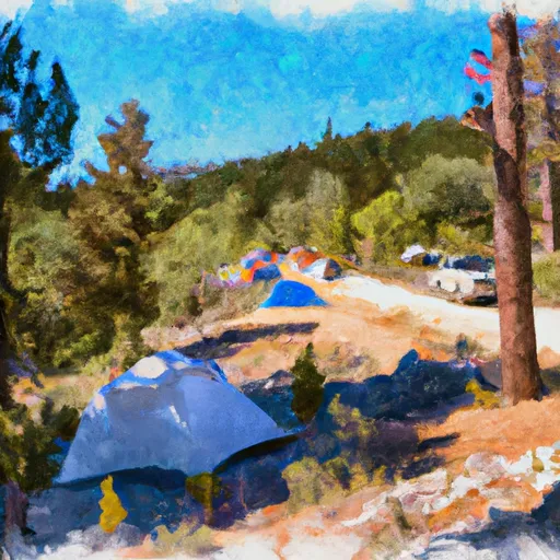 Dagger Falls Campground
|


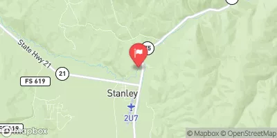
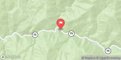
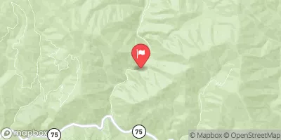
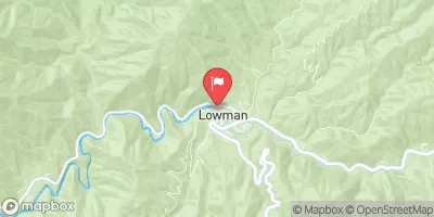
 Fir Creek Campground To Boise Nf Boundary
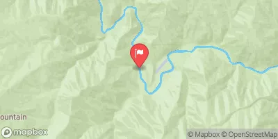
 Wilderness Boundary To Confluence With Middle Fork Salmon River
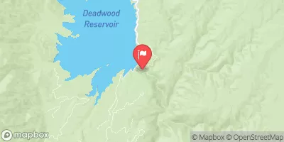
 Elk Creek To Fir Creek Campground
 Headwaters To Wilderness Boundary
 Boundary Creek to Cache Bar