Summary
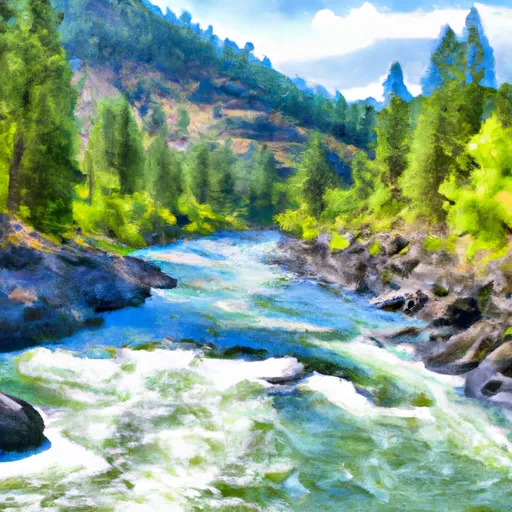
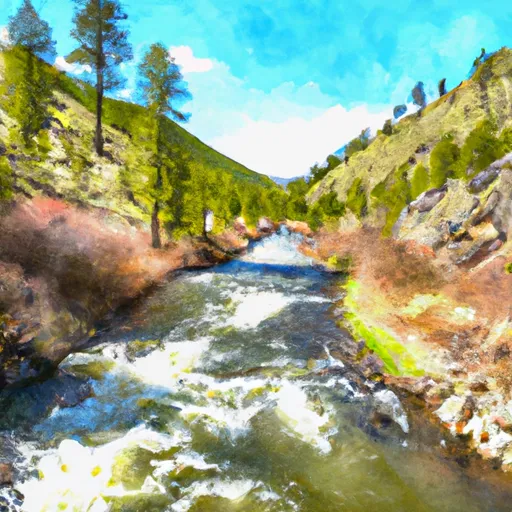
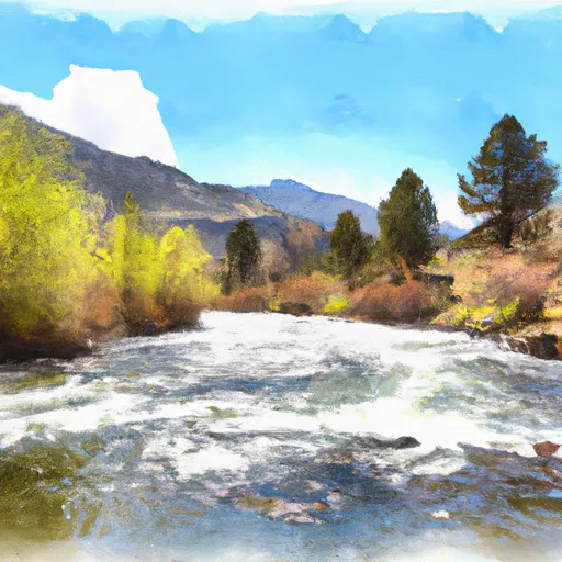
This boat ramp is situated on the Deadwood River, which is a popular destination for boating and fishing enthusiasts.
The Deadwood River Access Site is a concrete boat ramp that provides easy access to the river. It is 10 feet wide and can accommodate small to medium-sized watercraft. The boat ramp is also equipped with a dock, making it easy for boaters to load and unload their vessels.
The Deadwood River is primarily used for fishing, and the Idaho Department of Fish and Game has designated it as a Wild Trout Fishery. The river is home to a variety of fish species, including rainbow trout, cutthroat trout, and bull trout. Boaters are allowed to use any type of watercraft on the river, including kayaks, canoes, and motorboats.
In terms of the latest information available, the Deadwood River Access Site is still open and accessible to the public. However, it's always best to check with local authorities and park officials for any updates or changes before visiting the site.
°F
°F
mph
Wind
%
Humidity

 Deadwood River Access Site
 Pine Creek To Confluence With South Fork Payette River
 Wolf Creek To Confluence With Pine Flats Creek
 Pine Flats Creek To Long Gulch
 Warm Springs Creek To Confluence With Pine Creek