Summary
The ideal streamflow range for this section is between 400 and 1,500 cfs, with the optimal flow being around 800 cfs. The class rating for this section of the river is Class III and IV, with some rapids reaching Class V during high water.
The segment mileage of this section is approximately 12 miles, starting at the proposed wilderness boundary and ending at the mouth of the river in the Clearwater National Forest. The rapids and obstacles in this section include Boulder Garden, China Rapids, and Jump Off. These rapids require technical skills and are not recommended for beginners.
There are specific regulations for this area, including a permit requirement for commercial outfitters and a limit of 12 people per group. Additionally, all boaters must wear a personal flotation device and carry a throwable device. Camping is allowed, but fires are prohibited. It is also recommended to practice Leave No Trace principles and pack out all trash.
°F
°F
mph
Wind
%
Humidity
15-Day Weather Outlook
River Run Details
| Last Updated | 2026-01-27 |
| River Levels | 506 cfs (2.57 ft) |
| Percent of Normal | 126% |
| Status | |
| Class Level | iii-v |
| Elevation | ft |
| Streamflow Discharge | cfs |
| Gauge Height | ft |
| Reporting Streamgage | USGS 12413875 |
5-Day Hourly Forecast Detail
Nearby Streamflow Levels
 St. Joe River At Red Ives Ranger Station Id
|
219cfs |
 Nf Clearwater River Nr Canyon Ranger Station Id
|
2950cfs |
 St. Regis River Near St. Regis
|
537cfs |
 Clark Fork At St. Regis Mt
|
4480cfs |
 Clark Fork Below Missoula Mt
|
2890cfs |
 Lochsa River Nr Lowell Id
|
1860cfs |
Area Campgrounds
| Location | Reservations | Toilets |
|---|---|---|
 Kelly Creek Camp
|
||
 Ruby Creek
|
||
 Kelly Forks
|
||
 Kelly Forks Campground
|
||
 Kelly Forks Cabin
|
||
 Hidden Creek Campground
|


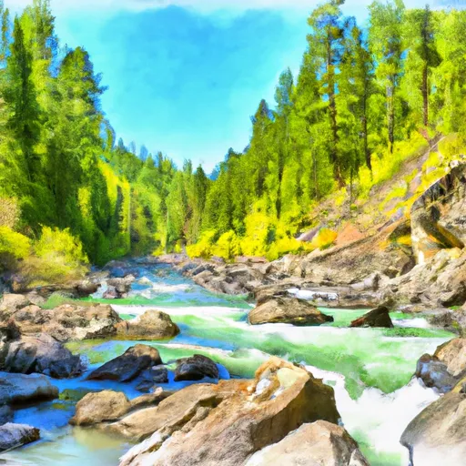 Proposed Hoodoo Wilderness Boundary, Sec. 28, T10N, R26W To Mouth, Clearwater Nf
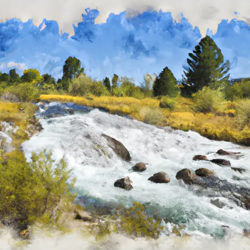 Source, Sec. 19, T39N, R13E To Road #581 Near Moose Ck, Sec. 16, T39N, R11I
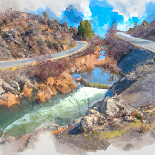 Road 581, Sec. 19, T39N, R13E To Mouth, Sec. 18, T39N, R10E