Summary
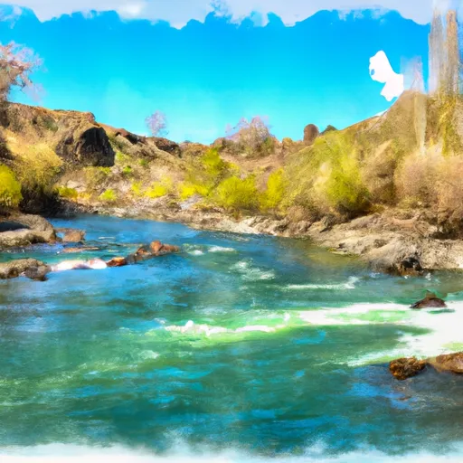
The ideal streamflow range for this stretch of river is between 700 and 1500 cfs. The class rating for this section is Class III-IV, which means it is recommended for experienced paddlers who are familiar with whitewater navigation techniques. The segment mileage is around 11 miles, and the estimated time for completion is around 3-4 hours.
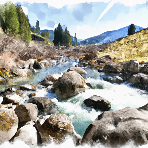
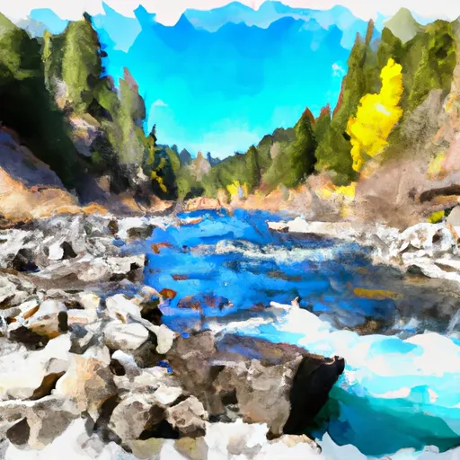
There are several specific rapids and obstacles in this section of the river, including the Entrance Rapid, Rodeo Hole, and Big Kahuna. The Entrance Rapid is a challenging Class IV drop that requires precise navigation. The Rodeo Hole is a large hydraulic feature that can be dangerous for inexperienced paddlers. The Big Kahuna is a Class III rapid that requires a well-executed line to avoid obstacles.
There are specific regulations to the area, including the requirement for a permit from the U.S. Forest Service. Additionally, visitors should adhere to the Leave No Trace principles to minimize the impact on the environment. Overall, the Whitewater River Run Confluence of North Fork Palisades Creek and Corral Canyon to Palisades Campground is a thrilling whitewater adventure that requires experience and skill to navigate safely.
°F
°F
mph
Wind
%
Humidity
15-Day Weather Outlook
River Run Details
| Last Updated | 2026-02-07 |
| River Levels | 11800 cfs (8.59 ft) |
| Percent of Normal | 66% |
| Status | |
| Class Level | iii-iv |
| Elevation | ft |
| Streamflow Discharge | cfs |
| Gauge Height | ft |
| Reporting Streamgage | USGS 13032500 |
5-Day Hourly Forecast Detail
Nearby Streamflow Levels
 Snake River Nr Irwin Id
|
912cfs |
 Fish Creek At Wilson
|
42cfs |
 Greys River Ab Reservoir Nr Alpine Wy
|
296cfs |
 Snake River Ab Reservoir Nr Alpine Wy
|
2630cfs |
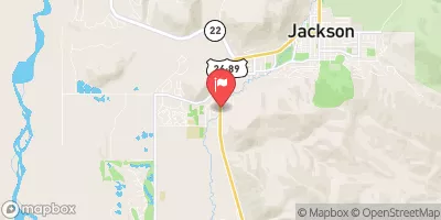 Flat Creek Bel Cache Creek
|
108cfs |
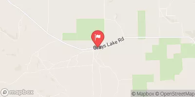 Grays Lake Outlet Nr Herman Id
|
0cfs |
Area Campgrounds
| Location | Reservations | Toilets |
|---|---|---|
 Palisades Creek
|
||
 Palisades Creek Campground
|
||
 Riverside Park
|
||
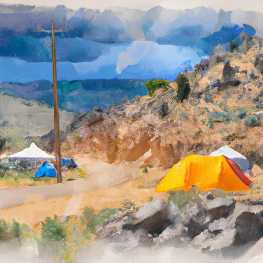 Calamity
|
||
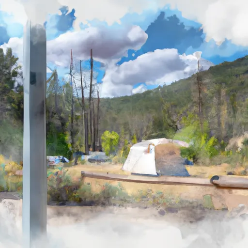 Calamity Campground
|
||
 Big Elk
|


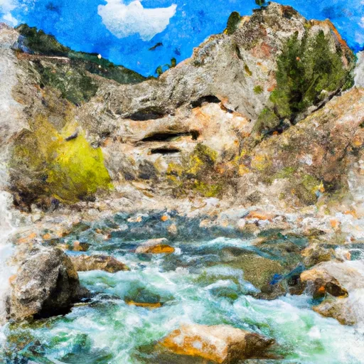 Confluence Of North Fork Palisades Creek And Corral Canyon To Palisades Campground
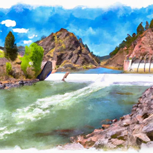 Palisades Dam To Confluence With Pine Creek
 Palisade Dam to Lorenzo (South Fork)
 South Fork Snake River
 Source To Upper Palisades Lake
 One Mile Above Trailhead To Trailhead