Summary
This boat ramp is designed for public use and is suitable for a variety of watercraft.
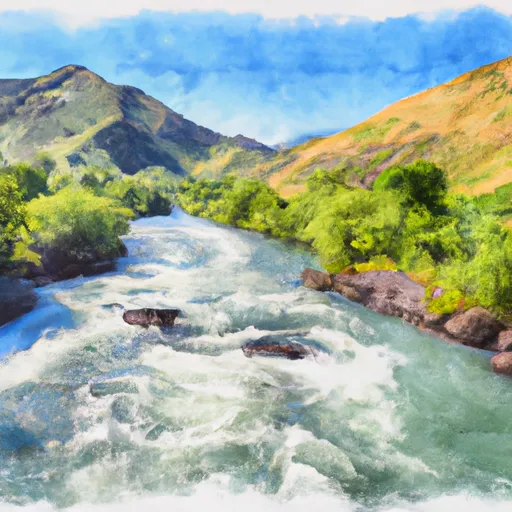
The Bonneville County boat ramp is situated on the South Fork Snake River, which is a popular destination for boaters and anglers. The waterway is approximately 70 feet wide, and the boat ramp is designed to accommodate a wide range of watercraft, including fishing boats, small sailboats, kayaks, canoes, and motorized watercraft.
The width of the boat ramp is not specifically mentioned in the latest information available, but based on standard sizing for boat ramps, it is likely to be around 12-16 feet wide. The ramp is constructed of concrete, which provides a durable and stable surface for launching and retrieving boats.
Overall, the Bonneville County boat ramp is a popular destination for boaters and anglers in Idaho, with its convenient location and ease of use making it a favourite among locals and visitors alike.
°F
°F
mph
Wind
%
Humidity

 Bonneville County
 Byington Boat Ramp
 Wolf Flats Recreation Area
 Heise Bridge Boat Access
 South Fork Snake River