Summary
The ideal streamflow range for this segment is between 1,000 and 7,000 cubic feet per second (cfs), which can vary depending on the time of year and weather conditions. This segment has a class rating of III-IV, which means it is suitable for experienced paddlers with good control and maneuvering skills.
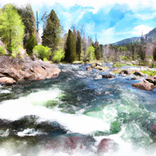
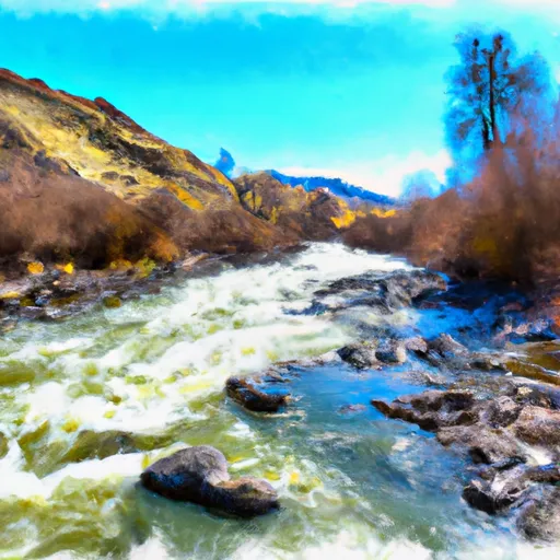
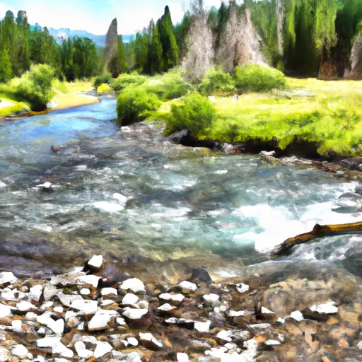
The segment covers a distance of 26 miles and is known for its beautiful scenic views and challenging rapids such as Big Mallard, Weber, and Hancock. Paddlers should also be aware of obstacles such as deadfall trees and rocks in some areas.
Specific regulations to the area include obtaining a permit from the United States Forest Service before embarking on the river run. The permit system is managed through a lottery system and requires participants to follow strict guidelines such as having a fire pan, packing out all garbage, and following Leave No Trace principles.
In conclusion, the Whitewater River Run Headwaters to Wilderness Boundary in Idaho offers a challenging and rewarding experience for experienced paddlers. It is important to follow regulations and guidelines to ensure the safety of the paddlers and preservation of the natural environment.
°F
°F
mph
Wind
%
Humidity
15-Day Weather Outlook
River Run Details
| Last Updated | 2026-01-26 |
| River Levels | 595 cfs (2.09 ft) |
| Percent of Normal | 122% |
| Status | |
| Class Level | None |
| Elevation | ft |
| Streamflow Discharge | cfs |
| Gauge Height | ft |
| Reporting Streamgage | USGS 13295000 |


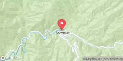
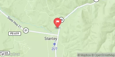
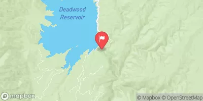
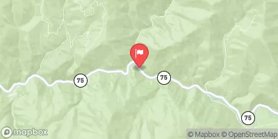
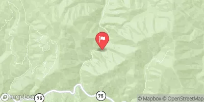
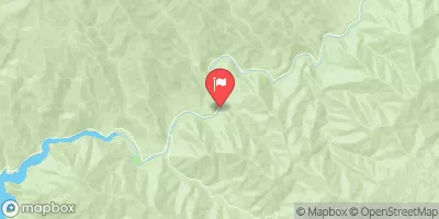
 Graham Bridge
 Graham Guard Station - Rental Cabin
 Warm Springs Guard Station - Rental Cabin
 Sawtooth National Forest - Grandjean Campground
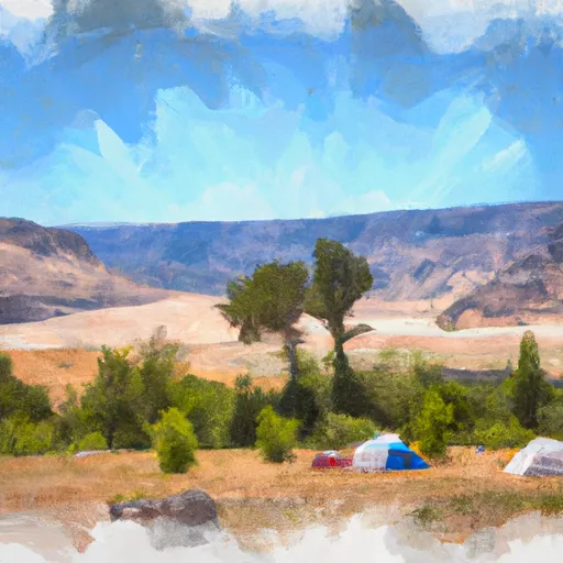 Bonneville Campground - reserve
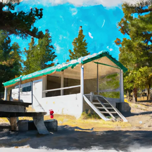 Deer Park Guard Station - Rental Cabin
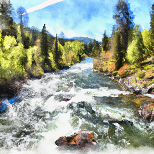 Headwaters To Wilderness Boundary
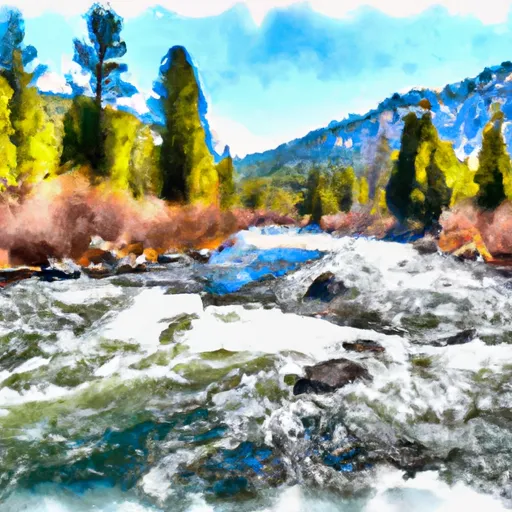 Sawtooth Wilderness Boundary To Confluence With Johnson Creek
 Headwaters To Confluence With South Fork Payette River
 Johnson Creek To Confluence With Hunter Creek
 Headwaters To Confluence With Trail Creek