Summary
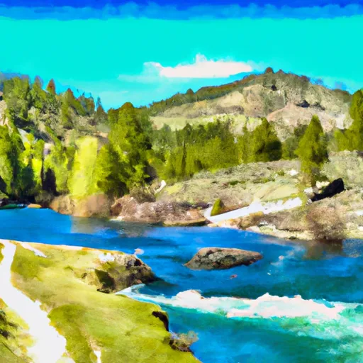
The ideal streamflow range for this run is 300-800 cfs, which makes the rapids challenging but not overly dangerous. The class rating of this run is Class III-IV, meaning it has moderate to difficult rapids with significant obstacles that require technical skills and experience.
The segment mileage of this run is approximately 15 miles, which offers a full day of exciting whitewater fun. There are several specific rapids and obstacles on this run, including the infamous "Top Drop" and "Bottom Drop" rapids that require precise maneuvering and technical skills. Other notable rapids include "Huck Finn," "Boomerang," and "Boulder Garden."
It is important to note that there are specific regulations for this area, including a restricted access permit requirement. The area is also designated as a Wild and Scenic River, which means that visitors must practice Leave No Trace principles and respect the natural environment.
Overall, the Whitewater River Run from Headwaters to Confluence with West Fork of East Fork Big Lost River in Idaho is an exciting and challenging adventure for experienced whitewater enthusiasts. It is important to be prepared with proper gear, technical skills, and knowledge of the area's regulations to ensure a safe and enjoyable experience.
°F
°F
mph
Wind
%
Humidity
15-Day Weather Outlook
River Run Details
| Last Updated | 2025-12-15 |
| River Levels | 1950 cfs (3.76 ft) |
| Percent of Normal | 77% |
| Status | |
| Class Level | iii-iv |
| Elevation | ft |
| Streamflow Discharge | cfs |
| Gauge Height | ft |
| Reporting Streamgage | USGS 13120500 |
5-Day Hourly Forecast Detail
Nearby Streamflow Levels
Area Campgrounds
| Location | Reservations | Toilets |
|---|---|---|
 Broad Canyon Campground
|
||
 Lake Creek Trailhead & Campground
|
||
 Star Hope Campground
|
||
 Star Hope
|
||
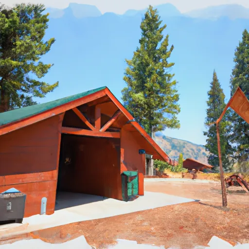 Copper Basin Guard Station Rental Cabin
|
||
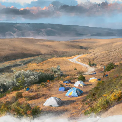 Wildhorse
|


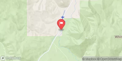
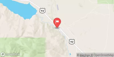
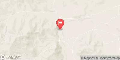
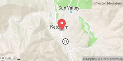
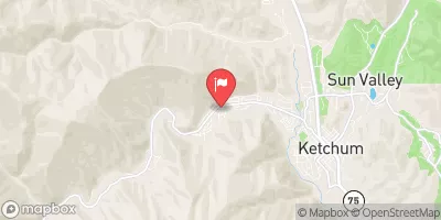
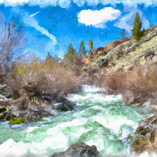 Headwaters To Confluence With West Fork Of East Fork Big Lost River
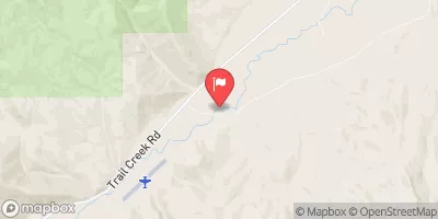
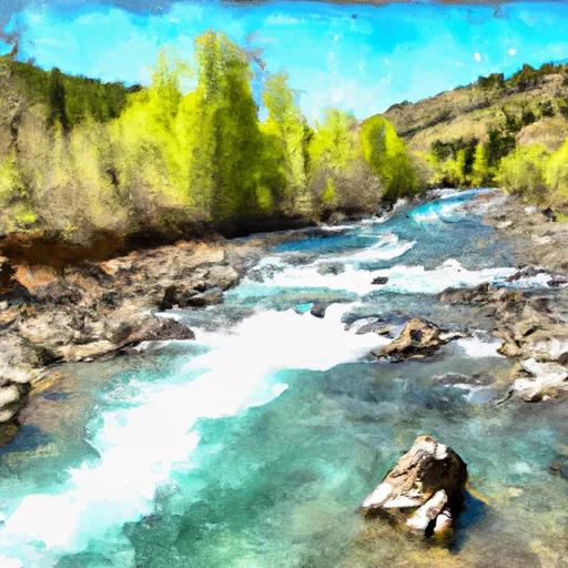 Headwaters To Confluence With West Fork Big Lost River
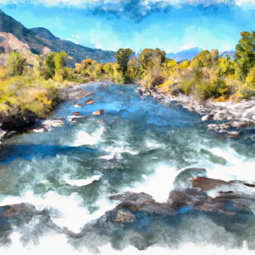 Confluence Of Star Hope And Muldoon Creeks To Confluence With East Fork
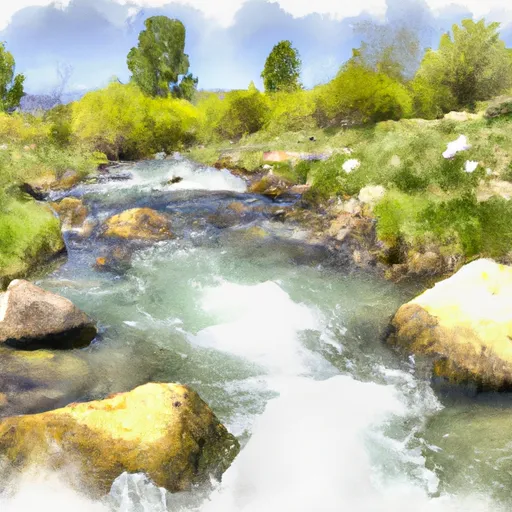 Headwaters To Confluence With Little Wood River
 Arrowhead Lake To Wildhorse Campground