Summary
The ideal streamflow range for this run is between 800 and 2000 cfs, with the peak season happening during May and June. The segment mileage for this run is approximately 14 miles, with Class II-III rapids and a few Class IV rapids, such as Jump Off, Upper Granite, and Lower Granite. The run also features a few notable obstacles, including boulder gardens and logjams.
There are specific regulations in place for this area, including a permit system for commercial outfitters and a limit on the number of people per group for private boaters. Visitors are also required to practice Leave No Trace principles, including packing out all trash and using a portable toilet. Additionally, the use of alcohol and drugs is strictly prohibited on the river.
°F
°F
mph
Wind
%
Humidity
15-Day Weather Outlook
River Run Details
| Last Updated | 2026-02-07 |
| River Levels | 8660 cfs (6.42 ft) |
| Percent of Normal | 99% |
| Status | |
| Class Level | ii-iii |
| Elevation | ft |
| Streamflow Discharge | cfs |
| Gauge Height | ft |
| Reporting Streamgage | USGS 13307000 |
5-Day Hourly Forecast Detail
Nearby Streamflow Levels
Area Campgrounds
| Location | Reservations | Toilets |
|---|---|---|
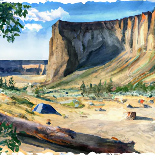 Tower Rock
|
||
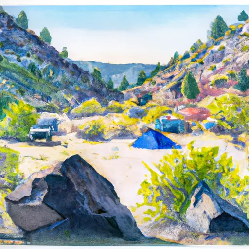 Tower Rock Campground
|
||
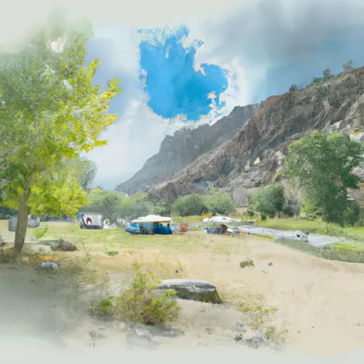 Morgan Bar Campground
|
||
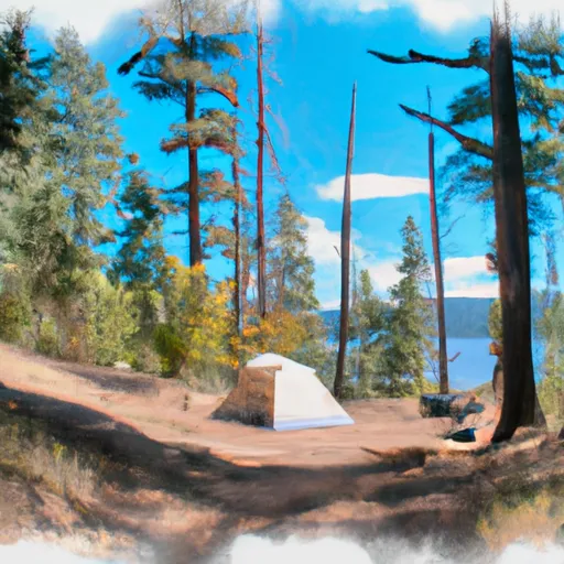 Wallace Lake
|
||
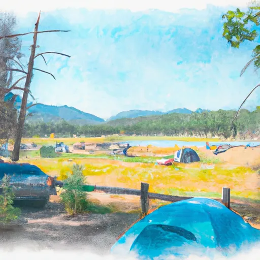 Wallace Lake Campground
|
||
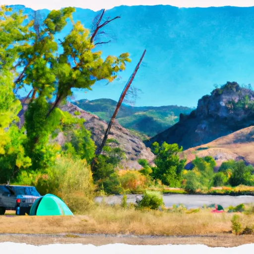 Morgan Bar
|


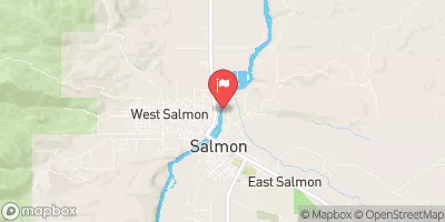
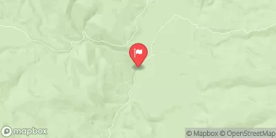
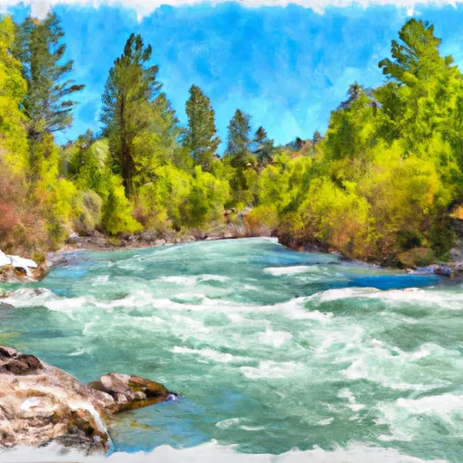 Nf Boundary At 4Th Of July Creek To Confluence With North Fork