Summary
The ideal streamflow for this stretch is between 500 and 2,000 cfs, which typically occurs from May to early July. The class rating for this section of the river ranges from class III to IV, making it suitable for advanced paddlers.
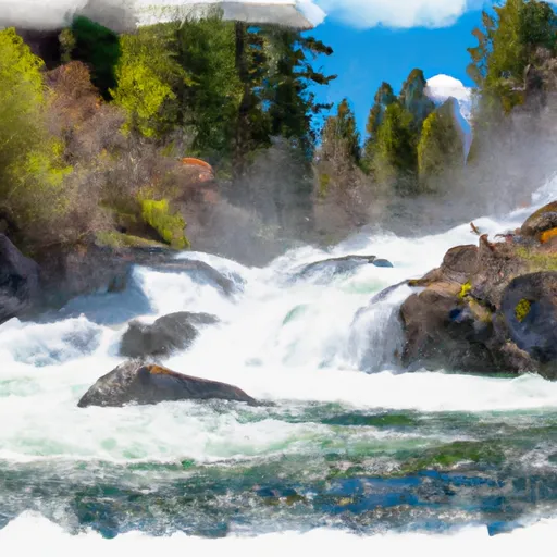
The segment mileage for this run is approximately 10 miles, starting at the Headwaters and ending at the Confluence with Trail Creek. Along the way, paddlers will encounter several notable rapids, including the "Jaws" and "Little Falls" sections. These rapids feature technical drops and steep chutes that require precise maneuvering.
To ensure the safety of paddlers and preserve the natural beauty of the area, there are specific regulations in place. All rafters must wear personal floatation devices and helmets while on the river. Additionally, no motorized watercraft or camping is allowed along the riverbanks.
In conclusion, the Whitewater River Run from Headwaters to Confluence with Trail Creek is an exciting adventure for experienced rafters. With the ideal streamflow range, class rating, segment mileage, and specific rapids and obstacles, it's no wonder this stretch of the river is a popular destination. It's important to follow the regulations in place to ensure a safe and enjoyable experience for all who visit.
°F
°F
mph
Wind
%
Humidity
15-Day Weather Outlook
River Run Details
| Last Updated | 2026-01-26 |
| River Levels | 595 cfs (2.09 ft) |
| Percent of Normal | 122% |
| Status | |
| Class Level | iii |
| Elevation | ft |
| Streamflow Discharge | cfs |
| Gauge Height | ft |
| Reporting Streamgage | USGS 13295000 |
5-Day Hourly Forecast Detail
Nearby Streamflow Levels
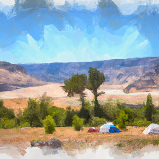
Area Campgrounds
| Location | Reservations | Toilets |
|---|---|---|
 Sawtooth National Forest - Grandjean Campground
|
||
 Grandjean
|
||
 Grandjean Campground
|
||
 Bonneville Campground - reserve
|
||
 Bonneville Campground
|
||
 Bonneville
|


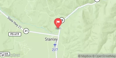
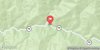
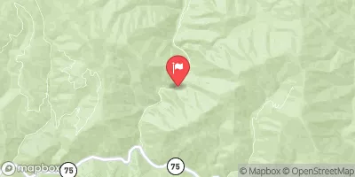
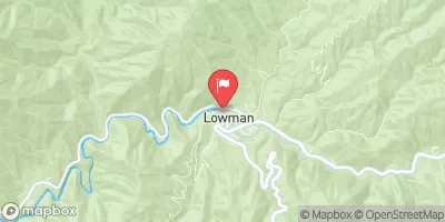

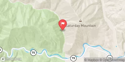
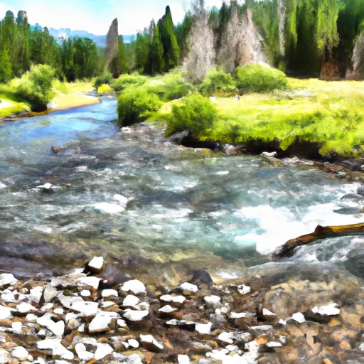 Headwaters To Confluence With Trail Creek
 Headwaters To Confluence With South Fork Payette River
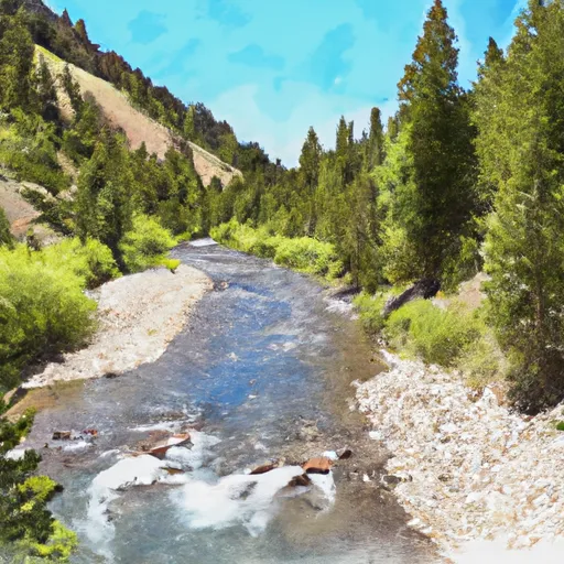 Trail Creek To Sawtooth Nf Boundary
 Headwaters To Lady Face Falls
 Sawtooth Nra To Confluence With Wolf Creek