Summary
The ideal streamflow range for this run is between 800-1800 cfs, which is considered a moderate to high flow. The class rating for this section is class III-IV, with some sections reaching class V. The total segment mileage for this run is approximately 34 miles, with plenty of rapids and obstacles to navigate along the way.
Some of the specific rapids and obstacles include Big Falls, a class V rapid with a 30-foot waterfall drop, and Devil's Tooth, a class IV rapid with a tricky entrance and two large boulders to avoid. Other notable rapids include Triple Drop, Jumpoff, and S-Turn.
There are specific regulations to the area, such as a permit requirement for all overnight trips and a limit on the number of people allowed per group. Additionally, all boaters are required to pack out all trash and follow Leave No Trace principles to preserve the natural beauty of the area.
°F
°F
mph
Wind
%
Humidity
15-Day Weather Outlook
River Run Details
| Last Updated | 2026-02-07 |
| River Levels | 4320 cfs (4.34 ft) |
| Percent of Normal | 110% |
| Status | |
| Class Level | iii-iv |
| Elevation | ft |
| Streamflow Discharge | cfs |
| Gauge Height | ft |
| Reporting Streamgage | USGS 13309220 |
5-Day Hourly Forecast Detail
Nearby Streamflow Levels
Area Campgrounds
| Location | Reservations | Toilets |
|---|---|---|
 Tin Cup Campground
|
||
 Indian Springs
|
||
 Tin Cup
|
||
 Indian Springs Campsite
|
||
 Mahoney Springs Camp
|
||
 Mahoney Complex
|


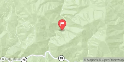
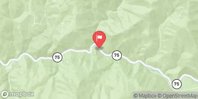


 Headwaters To Confluence With Loon Creek
 Confluence Of Loon And Pioneer Creeks To Phillips Creek Transfer Camp
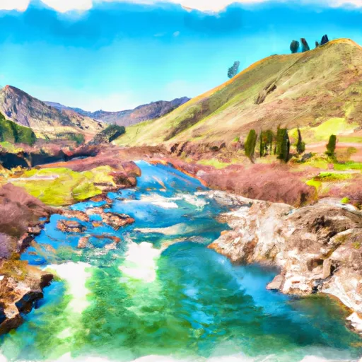 Phillips Creek Transfer Camp To Confluence With Middle Fork Salmon River
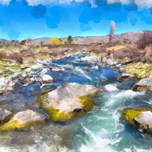 Headwaters To Confluence With Pole Creek