Summary
31, T27N, R4E in Idaho is a popular white-water rafting destination. The ideal streamflow range for this section is between 1,500 and 30,000 cubic feet per second (cfs).
The class rating for this section ranges from Class II to Class IV, depending on the specific rapid or obstacle. The total segment mileage for this section is approximately 30 miles. Some notable rapids and obstacles include the Slide Rapid, the Chittam Rapid, and the Devil's Tooth Rapid.
There are specific regulations in place for this area, including the need for a permit to launch a boat or raft on the river. Additionally, all boaters are required to have a personal flotation device (PFD) and a first aid kit on board. There are also restrictions on campfires and the disposal of waste.
°F
°F
mph
Wind
%
Humidity
15-Day Weather Outlook
River Run Details
| Last Updated | 2026-02-07 |
| River Levels | 32300 cfs (21.67 ft) |
| Percent of Normal | 104% |
| Status | |
| Class Level | ii-iv |
| Elevation | ft |
| Streamflow Discharge | cfs |
| Gauge Height | ft |
| Reporting Streamgage | USGS 13317000 |


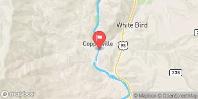
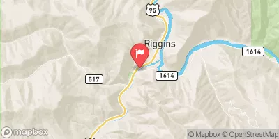
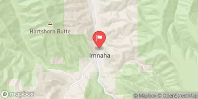
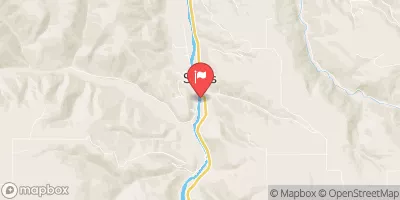
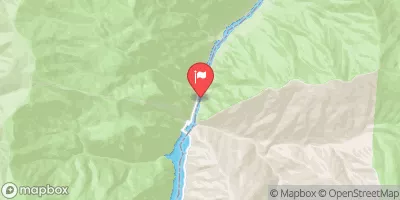
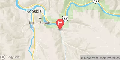
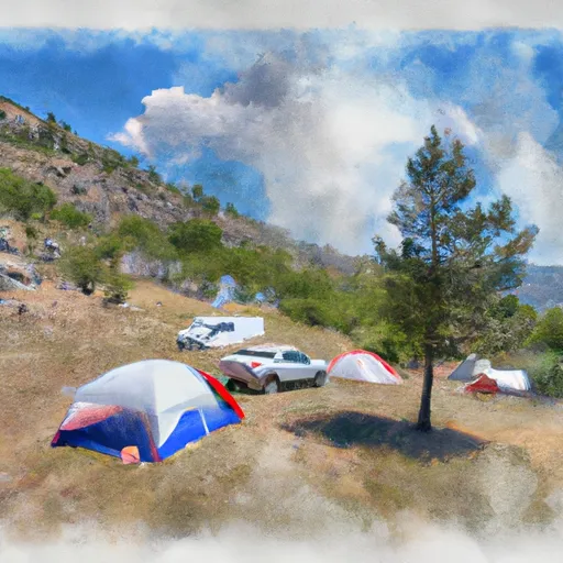 Slate Creek Recreation Site
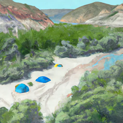 Box Canyon Beach Campsite
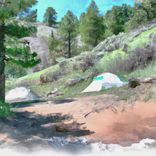 Upper Blackhawk Campsite
 North Slate Creek
 Robinson Left Beach Campsite
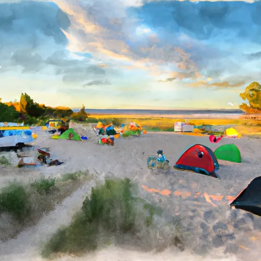 Robinson Right Beach Campsite
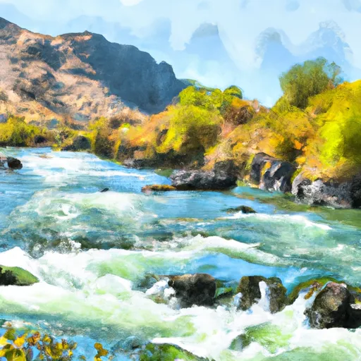 Salmon River, Sec. 36, T27N, R1E To Gospel-Hump Wilderness Boundary, Sec. 31, T27N, R4E
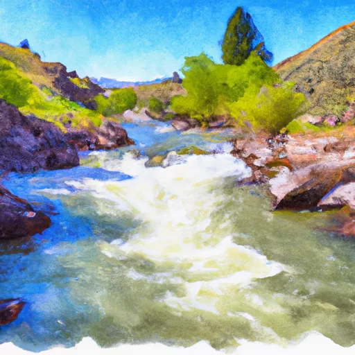 Salmon River, Sec. 22, T28N, R1E To North And South Forks Of White Bird Creek
 Salmon River
 Hammer Creek to Heller Bar (Lower Salmon)
 Pittsburg Landing to Heller Bar