Summary
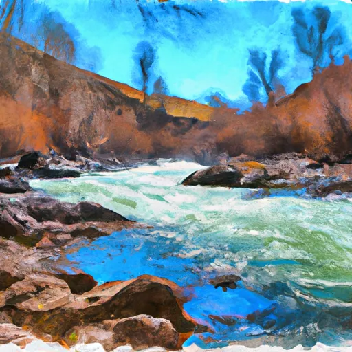
The ideal streamflow range for this section of the river is between 500-1000 cubic feet per second (cfs). The class rating for this section of the river is mainly Class III, but the rapids can reach Class IV during high water. Some of the notable rapids and obstacles include Decker Creek Rapid, Hump Lake Drop, and Cow Creek Falls.
The Whitewater River Run flows through the Gospel-Hump Wilderness Area, which has specific regulations to protect the wilderness and wildlife. The Wilderness Act of 1964 prohibits the use of motorized vehicles, including boats, within the wilderness area. Additionally, visitors are required to obtain a permit before entering the wilderness area, and visitors are expected to follow Leave No Trace principles to minimize their impact on the environment.
Overall, the Whitewater River Run is a challenging and exciting rafting experience that requires a high level of skill and experience. It is important to pay attention to water levels, follow safety protocols, and respect the regulations in place to protect the wilderness area.
°F
°F
mph
Wind
%
Humidity
15-Day Weather Outlook
River Run Details
| Last Updated | 2021-10-01 |
| River Levels | 42 cfs (4.68 ft) |
| Percent of Normal | 104% |
| Status | |
| Class Level | iii-iv |
| Elevation | ft |
| Streamflow Discharge | cfs |
| Gauge Height | ft |
| Reporting Streamgage | USGS 13337500 |
5-Day Hourly Forecast Detail
Nearby Streamflow Levels
 Sf Clearwater River Nr Elk City Id
|
42cfs |
 Selway River Nr Lowell Id
|
2080cfs |
 Salmon River At White Bird Id
|
5830cfs |
 Sf Clearwater River At Stites Id
|
411cfs |
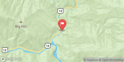 Lochsa River Nr Lowell Id
|
1860cfs |
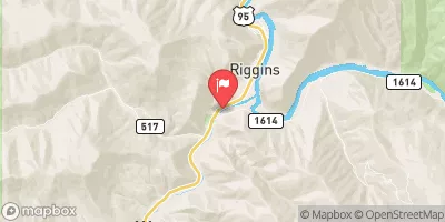 Little Salmon River At Riggins Id
|
415cfs |
Area Campgrounds
| Location | Reservations | Toilets |
|---|---|---|
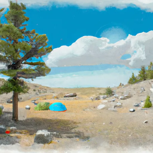 Orogrande Summit
|
||
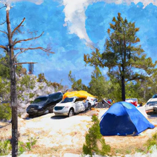 Orogrande Summit Campground
|
||
 Orogrande (1-4)
|
||
 Orogrande Campground #1 and #2
|
||
 Orogrande Campground #3 and #4
|
||
 Five Mile
|


 Gospel-Hump Wilderness Boundary To Headwaters Near Hump Lake
 Crooked Creek, Sec. 10, T25N, R7E To Gospel-Hump Wilderness Boundary