Summary
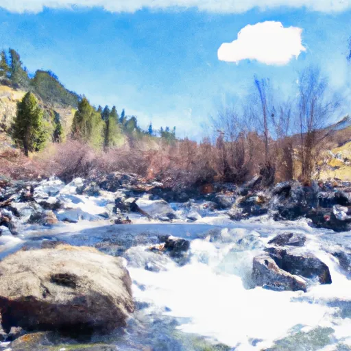
The ideal streamflow range for this segment is between 600 and 1,500 cfs. The class rating for this run is Class IV, which means it is difficult and requires advanced skills to navigate.
The segment mileage for this run is approximately 12 miles and is known for its steep drops, tight curves, and boulder gardens. The rapids in this section are technical and require precise maneuvering. Some notable rapids include Cut Throat, The Drop, S-Turn, and Cucumber Falls.
There are specific regulations for this area that must be followed. Idaho Fish and Game requires a fishing permit for those who wish to fish in the river. Additionally, boats and equipment must be inspected for invasive species before entering the river to prevent contamination. It is also important to respect private property and to practice Leave No Trace principles to preserve the natural beauty of the area.
In conclusion, the Whitewater River run from Headwaters to 1 Mile Downstream of Cut Throat Lake in Idaho is a challenging and exciting experience for experienced kayakers and rafters. It is important to follow specific regulations and practice responsible outdoor ethics to preserve the natural beauty of the area.
°F
°F
mph
Wind
%
Humidity
15-Day Weather Outlook
River Run Details
| Last Updated | 2026-02-07 |
| River Levels | 4320 cfs (4.34 ft) |
| Percent of Normal | 110% |
| Status | |
| Class Level | iv |
| Elevation | ft |
| Streamflow Discharge | cfs |
| Gauge Height | ft |
| Reporting Streamgage | USGS 13309220 |
5-Day Hourly Forecast Detail
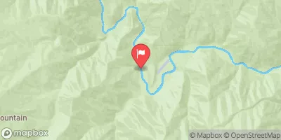
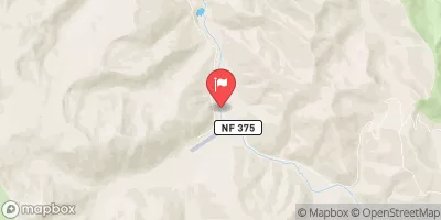
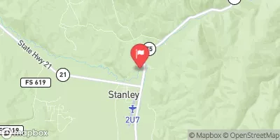
Nearby Streamflow Levels
Area Campgrounds
| Location | Reservations | Toilets |
|---|---|---|
 Josephus Lake
|
||
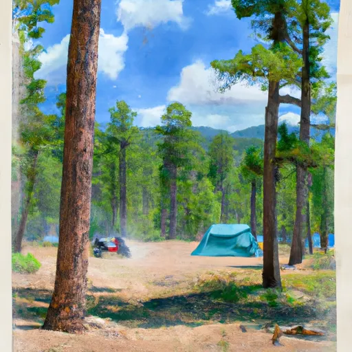 Josephus Lake Campground
|
||
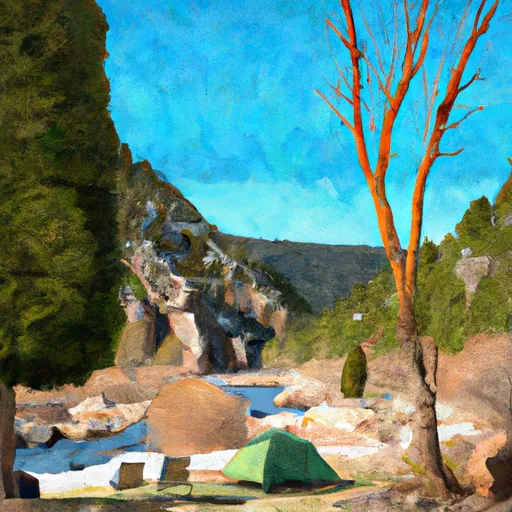 Dagger Falls
|
||
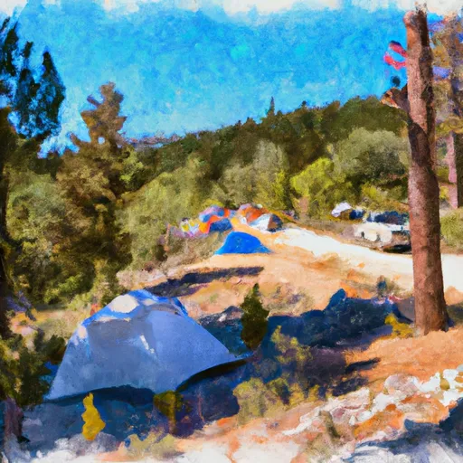 Dagger Falls Campground
|
||
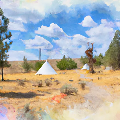 Teepee Hole Campsite
|
||
 Cable Hole Campsite
|


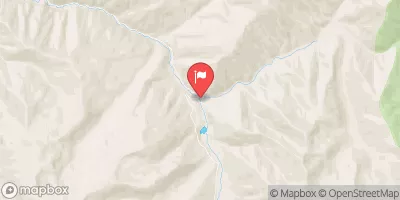
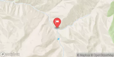
 Headwaters To 1 Mile Downstream Of Cut Throat Lake
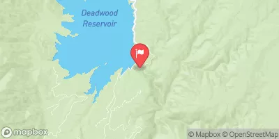
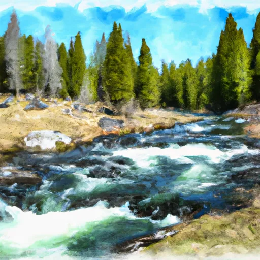 Headwaters To 1 Mile Downstream Of Soldier Lake
 Boundary Creek to Cache Bar