Summary
The ideal streamflow range for this river is between 400 and 1000 cfs, which provides enough water for a challenging but safe run. This river is classified as Class III-IV, with some sections reaching Class V during high water. The segment mileage for Vineyard Creek is approximately 9 miles, with several challenging rapids and obstacles along the way.
Some of the most notable rapids on Vineyard Creek include "Punchbowl," "Squeeze Play," and "Eye of the Needle." These rapids are characterized by steep drops, tight turns, and powerful hydraulics that require precise paddling and quick reflexes to navigate safely. In addition to these rapids, the river also features several large boulders and log jams that can pose a hazard to paddlers.
To ensure the safety of all paddlers and maintain the natural beauty of the area, there are specific regulations in place for Vineyard Creek. These regulations include a limit on the number of paddlers allowed on the river at any given time, a requirement for all paddlers to wear personal flotation devices, and a ban on camping and fires along the riverbank. Additionally, all paddlers are encouraged to practice "Leave No Trace" principles and respect the natural environment of the area.
Overall, Vineyard Creek is a challenging and exciting whitewater river run that offers paddlers a unique and unforgettable experience. However, it is important for all paddlers to respect the river's power and follow all regulations and safety guidelines to ensure a safe and enjoyable trip.
°F
°F
mph
Wind
%
Humidity
15-Day Weather Outlook
River Run Details
| Last Updated | 2025-06-28 |
| River Levels | 9 cfs (1.36 ft) |
| Percent of Normal | 100% |
| Status | |
| Class Level | iii-iv |
| Elevation | ft |
| Streamflow Discharge | cfs |
| Gauge Height | ft |
| Reporting Streamgage | USGS 13089500 |


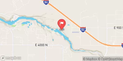
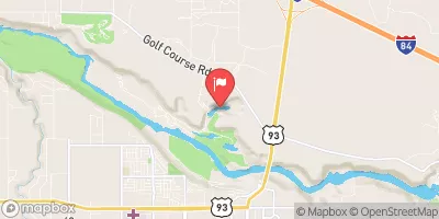
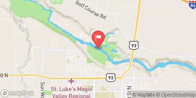

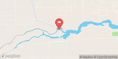
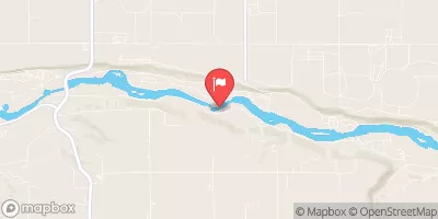
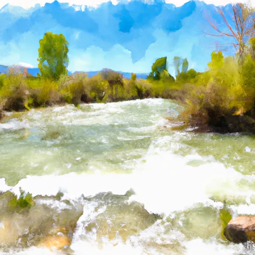 Vineyard Creek
 Murtaugh Canyon