Summary
The ideal streamflow range for the river is between 10,000 and 20,000 cfs, which typically occurs during the spring runoff season from May to early June. The river is rated as a class III-IV, with challenging rapids and obstacles that require technical skills and experience. The segment mileage of the river run is around 30 miles, with access points at Orofino and Kooskia.
Some of the notable rapids and obstacles on the Clearwater River include Boat Eater, The Wall, Big Eddy, and Pipeline. These rapids are characterized by their large waves, tight channels, and steep drops, making them a thrilling challenge for experienced paddlers. However, due to the difficulty level of the river, it is recommended that only experienced paddlers attempt the Clearwater River.
The area is regulated by the Forest Service and requires a permit for overnight trips. There are also regulations regarding the use of campsites, campfires, and food storage to ensure the protection of the natural resources in the area. It is important to follow these regulations and practice Leave No Trace principles to preserve the beauty of the Clearwater River for future generations.
°F
°F
mph
Wind
%
Humidity
15-Day Weather Outlook
River Run Details
| Last Updated | 2023-08-28 |
| River Levels | 87 cfs (12.29 ft) |
| Percent of Normal | 66% |
| Status | |
| Class Level | iii-iv |
| Elevation | ft |
| Streamflow Discharge | cfs |
| Gauge Height | ft |
| Reporting Streamgage | USGS 13337099 |
5-Day Hourly Forecast Detail
Nearby Streamflow Levels
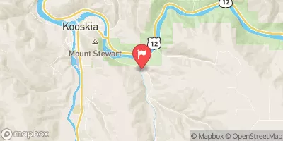 Clear Ck At Kooskia National Fish Hatchery
|
18cfs |
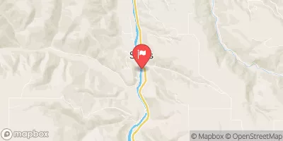 Sf Clearwater River At Stites Id
|
411cfs |
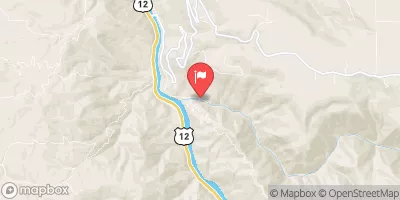 Lolo Creek Nr Greer Id
|
771cfs |
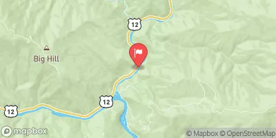 Lochsa River Nr Lowell Id
|
1860cfs |
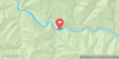 Selway River Nr Lowell Id
|
2080cfs |
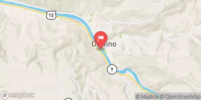 Clearwater River At Orofino Id
|
5850cfs |


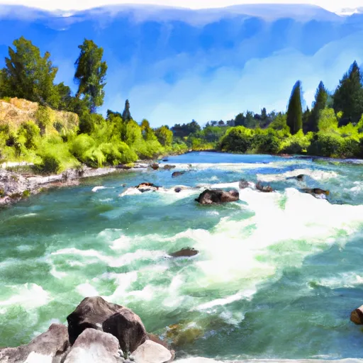 Clearwater River
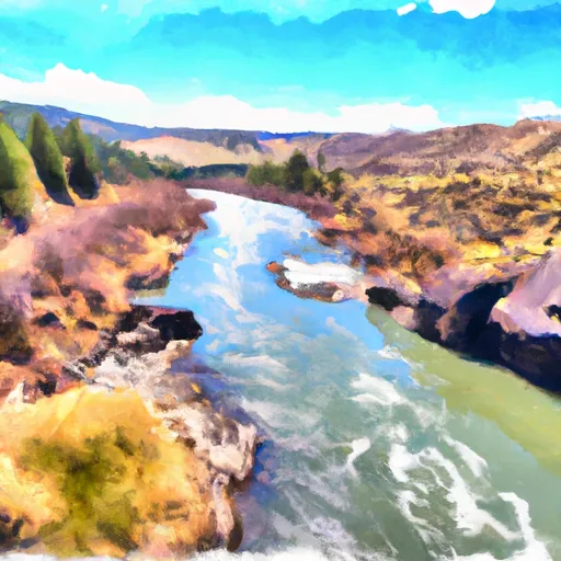 Clearwater River To Red And American Rivers Near Elk City