Summary
The ideal streamflow range for this river run is between 300 and 800 cubic feet per second (cfs). The class rating for this river run is class III to IV, making it suitable for intermediate to advanced paddlers. The total segment mileage for Jump Creek is approximately 8 miles, starting at the Jump Creek Campground and ending at the Lower Salmon River.
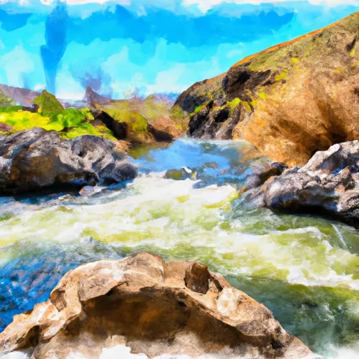
There are several notable rapids and obstacles along the Jump Creek river run, including House Rock Rapid, Jump Creek Falls, and the Devil's Slide. House Rock Rapid is a class IV rapid with a technical entrance and a tight squeeze between two rocks. Jump Creek Falls is a 15-foot waterfall that requires a mandatory portage. The Devil's Slide is a narrow, rocky gorge that requires precise navigation.
There are specific regulations in place for Jump Creek, including a permit system for commercial outfitters and group size restrictions. All boaters are required to wear personal flotation devices (PFDs) and carry a whistle. Additionally, campers and visitors to the area are required to follow Leave No Trace principles and pack out all trash.
°F
°F
mph
Wind
%
Humidity
15-Day Weather Outlook
River Run Details
| Last Updated | 2025-06-28 |
| River Levels | 676 cfs (3.53 ft) |
| Percent of Normal | 133% |
| Status | |
| Class Level | iii-iv |
| Elevation | ft |
| Streamflow Discharge | cfs |
| Gauge Height | ft |
| Reporting Streamgage | USGS 13212890 |
5-Day Hourly Forecast Detail
Nearby Streamflow Levels
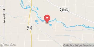 Dixie Drain Nr Wilder Id
|
70cfs |
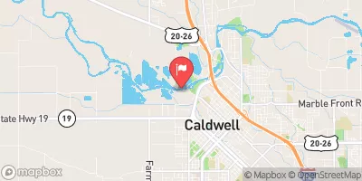 Boise River At Caldwell
|
542cfs |
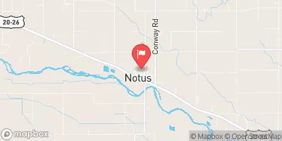 Conway Gulch Below 1st St At Notus
|
10cfs |
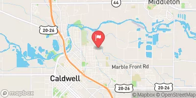 Mason Creek Nr Caldwell Id
|
46cfs |
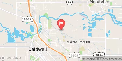 Mason Creek At Caldwell Id
|
46cfs |
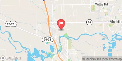 W Hartley Gulch Nr Caldwell Id
|
4cfs |


 Jump Creek